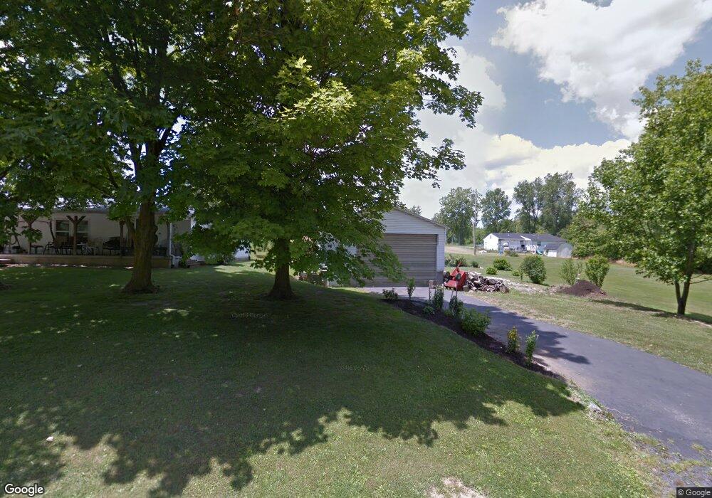
1231 Carl Rd Mansfield, OH 44906
Estimated Value: $45,000 - $186,000
Studio
--
Bath
--
Sq Ft
6,882
Sq Ft Lot
About This Home
This home is located at 1231 Carl Rd, Mansfield, OH 44906 and is currently estimated at $114,942. 1231 Carl Rd is a home located in Richland County with nearby schools including Foundation Academy, Mansfield Elective Academy, and Goal Digital Academy.
Ownership History
Date
Name
Owned For
Owner Type
Purchase Details
Closed on
Nov 18, 2019
Sold by
Abrams Lloyd Thomas and Abrams Loretta Joan
Bought by
Abrahms Lloyd Thomas and Abrahms Loretta Joan
Current Estimated Value
Purchase Details
Closed on
Oct 16, 2019
Sold by
Abrams Thelma
Bought by
Abrams Lloyd Thomas and Abrams Loretta Jean
Purchase Details
Closed on
Sep 29, 2004
Sold by
Abrams Lloyd A and Abrams Thelma
Bought by
Abrams Lloyd A and Abrams Thelma
Create a Home Valuation Report for This Property
The Home Valuation Report is an in-depth analysis detailing your home's value as well as a comparison with similar homes in the area
Home Values in the Area
Average Home Value in this Area
Purchase History
| Date | Buyer | Sale Price | Title Company |
|---|---|---|---|
| Abrahms Lloyd Thomas | -- | Accommodation | |
| Abrams Lloyd Thomas | -- | None Available | |
| Abrams Lloyd A | -- | -- |
Source: Public Records
Tax History
| Year | Tax Paid | Tax Assessment Tax Assessment Total Assessment is a certain percentage of the fair market value that is determined by local assessors to be the total taxable value of land and additions on the property. | Land | Improvement |
|---|---|---|---|---|
| 2024 | $91 | $1,910 | $1,230 | $680 |
| 2023 | $91 | $1,910 | $1,230 | $680 |
| 2022 | $101 | $1,770 | $1,090 | $680 |
| 2021 | $102 | $1,770 | $1,090 | $680 |
| 2020 | $104 | $1,770 | $1,090 | $680 |
| 2019 | $172 | $2,640 | $1,090 | $1,550 |
| 2018 | $170 | $2,640 | $1,090 | $1,550 |
| 2017 | $169 | $2,640 | $1,090 | $1,550 |
| 2016 | $172 | $2,660 | $1,040 | $1,620 |
| 2015 | $164 | $2,660 | $1,040 | $1,620 |
| 2014 | $162 | $2,660 | $1,040 | $1,620 |
| 2012 | $65 | $2,790 | $1,090 | $1,700 |
Source: Public Records
Map
Nearby Homes
- 1501 Bowman St
- 1077 Benedict Ave
- 1087 Fairfax Ave
- 1101 Lenox Ave
- 933 Fairfax Ave
- 739 Armstrong St
- 878 Fairfax Ave
- 0 Highway 30
- 1005 Truxell Dr
- 641 Averill Ave
- 572 France St
- 789 Cairns Rd
- 395 Cairns Rd
- 728 N Trimble Rd
- 492 Stark St
- 701 Springmill St
- 0 State Route 314 Unit 9069650
- 0 State Route 314 Unit 9067316
- 0 State Route 314 Unit 225021979
- 688 Mcpherson St
Your Personal Tour Guide
Ask me questions while you tour the home.