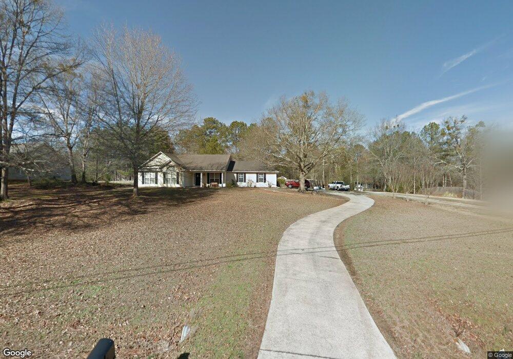
1231 Coan Dr Unit 1 Locust Grove, GA 30248
Estimated Value: $257,000 - $272,000
3
Beds
2
Baths
1,320
Sq Ft
$200/Sq Ft
Est. Value
About This Home
This home is located at 1231 Coan Dr Unit 1, Locust Grove, GA 30248 and is currently estimated at $263,450, approximately $199 per square foot. 1231 Coan Dr Unit 1 is a home located in Henry County with nearby schools including Unity Grove Elementary School, Locust Grove Middle School, and Locust Grove High School.
Ownership History
Date
Name
Owned For
Owner Type
Purchase Details
Closed on
Sep 25, 2007
Sold by
Anderson Lori Mikael
Bought by
Anderson Lori Mikael and Mork Arthur
Current Estimated Value
Home Financials for this Owner
Home Financials are based on the most recent Mortgage that was taken out on this home.
Original Mortgage
$60,000
Outstanding Balance
$37,734
Interest Rate
6.44%
Mortgage Type
New Conventional
Estimated Equity
$225,716
Purchase Details
Closed on
Jan 12, 2001
Sold by
Shamrock Porp Inc
Bought by
Johnson Katherine L
Home Financials for this Owner
Home Financials are based on the most recent Mortgage that was taken out on this home.
Original Mortgage
$84,900
Interest Rate
7.53%
Mortgage Type
New Conventional
Purchase Details
Closed on
May 10, 2000
Sold by
Bunn Andrew C
Bought by
Shadowrock Prop Inc
Home Financials for this Owner
Home Financials are based on the most recent Mortgage that was taken out on this home.
Original Mortgage
$97,500
Interest Rate
8.28%
Mortgage Type
New Conventional
Create a Home Valuation Report for This Property
The Home Valuation Report is an in-depth analysis detailing your home's value as well as a comparison with similar homes in the area
Home Values in the Area
Average Home Value in this Area
Purchase History
| Date | Buyer | Sale Price | Title Company |
|---|---|---|---|
| Anderson Lori Mikael | -- | -- | |
| Anderson Lori Mikael | $142,900 | -- | |
| Johnson Katherine L | $117,900 | -- | |
| Shadowrock Prop Inc | $22,200 | -- |
Source: Public Records
Mortgage History
| Date | Status | Borrower | Loan Amount |
|---|---|---|---|
| Open | Anderson Lori Mikael | $60,000 | |
| Previous Owner | Johnson Katherine L | $84,900 | |
| Previous Owner | Shadowrock Prop Inc | $97,500 |
Source: Public Records
Tax History Compared to Growth
Tax History
| Year | Tax Paid | Tax Assessment Tax Assessment Total Assessment is a certain percentage of the fair market value that is determined by local assessors to be the total taxable value of land and additions on the property. | Land | Improvement |
|---|---|---|---|---|
| 2025 | $2,647 | $106,800 | $14,000 | $92,800 |
| 2024 | $2,647 | $102,440 | $14,000 | $88,440 |
| 2023 | $2,096 | $103,040 | $14,000 | $89,040 |
| 2022 | $2,471 | $80,920 | $14,000 | $66,920 |
| 2021 | $2,143 | $67,040 | $14,000 | $53,040 |
| 2020 | $1,910 | $57,160 | $12,000 | $45,160 |
| 2019 | $666 | $55,320 | $12,000 | $43,320 |
| 2018 | $713 | $50,680 | $10,800 | $39,880 |
| 2016 | $1,592 | $47,520 | $10,000 | $37,520 |
| 2015 | $1,444 | $45,320 | $10,000 | $35,320 |
| 2014 | $1,524 | $44,440 | $10,000 | $34,440 |
Source: Public Records
Map
Nearby Homes
- 601 Amerigo Ct
- 218 Baxter Ln
- 521 Deadwood Trail
- 604 Onieda Dr
- 143 Kimbell Farm Dr
- 1000 Coan Dr
- 705 Seabolt Rd
- 165 Caraway Rd
- 678 Seabolt Rd
- 305 Annie Ln Unit 2
- 1850 Old Jackson Rd
- 100 Harbin Trail
- 1126 Old Jackson Rd
- 121, 125, 129 Case Dr
- 1627 Leguin Mill Rd
- 108 Caraway Rd
- 230 Leguin Mill Rd
- 995 Old Jackson Rd
- 281 Laney Dr
- 1680 Leguin Mill Rd
- 1235 Coan Dr
- 1227 Coan Dr
- 1227 Coan Dr Unit 1
- 104 Kimbell Farm Dr
- 1223 Coan Dr
- 106 Kimbell Farm Dr Unit 53
- 108 Kimbell Farm Dr
- 1219 Coan Dr
- 1219 Coan Dr Unit I
- 1243 Coan Dr
- 105 Kimbell Farm Dr
- 206 Baxter Ln Unit II
- 206 Baxter Ln Unit 244
- 103 Kimbell Farm Dr Unit 2
- 110 Kimbell Farm Dr Unit 51
- 110 Kimbell Farm Dr
- 208 Baxter Ln Unit 2
- 202 Baxter Ln Unit 2
- 107 Kimbell Farm Dr Unit 2
- 101 Kimbell Farm Dr Unit I