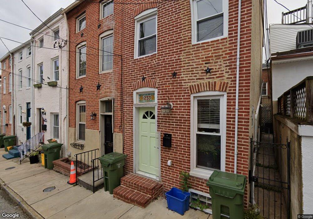
1231 Durst St Baltimore, MD 21230
Riverside NeighborhoodEstimated Value: $253,855 - $301,000
2
Beds
1
Bath
868
Sq Ft
$320/Sq Ft
Est. Value
About This Home
This home is located at 1231 Durst St, Baltimore, MD 21230 and is currently estimated at $277,428, approximately $319 per square foot. 1231 Durst St is a home located in Baltimore City with nearby schools including Federal Hill Preparatory School, Booker T. Washington Middle School, and Digital Harbor High School.
Ownership History
Date
Name
Owned For
Owner Type
Purchase Details
Closed on
Jan 25, 2022
Sold by
Todd Berger Franklin
Bought by
Jury Hannah Mae and Wiest Dakatah
Current Estimated Value
Home Financials for this Owner
Home Financials are based on the most recent Mortgage that was taken out on this home.
Original Mortgage
$234,671
Interest Rate
3.56%
Purchase Details
Closed on
Apr 18, 2013
Sold by
Berger Franklin Todd and Berger Susan E
Bought by
Berger Franklin Todd
Home Financials for this Owner
Home Financials are based on the most recent Mortgage that was taken out on this home.
Original Mortgage
$143,500
Interest Rate
3.57%
Mortgage Type
New Conventional
Purchase Details
Closed on
May 19, 2004
Sold by
Berger Franklin T
Bought by
Berger Franklin Todd and Berger Susan E
Purchase Details
Closed on
Sep 20, 1996
Sold by
Ridgely Marjorie S
Bought by
Berger Franklin T
Create a Home Valuation Report for This Property
The Home Valuation Report is an in-depth analysis detailing your home's value as well as a comparison with similar homes in the area
Home Values in the Area
Average Home Value in this Area
Purchase History
We collect this data history from publicly available records. To have your information removed, we recommend requesting removal directly through your county’s website.
| Date | Buyer | Sale Price | Title Company |
|---|---|---|---|
| Jury Hannah Mae | $239,000 | Haven Title | |
| Berger Franklin Todd | -- | Supreme Title Company | |
| Berger Franklin Todd | $67,500 | -- | |
| Berger Franklin T | $85,000 | -- |
Source: Public Records
Mortgage History
We collect this data history from publicly available records. To have your information removed, we recommend requesting removal directly through your county’s website.
| Date | Status | Borrower | Loan Amount |
|---|---|---|---|
| Previous Owner | Jury Hannah Mae | $234,671 | |
| Previous Owner | Berger Franklin Todd | $143,500 |
Source: Public Records
Tax History
| Year | Tax Paid | Tax Assessment Tax Assessment Total Assessment is a certain percentage of the fair market value that is determined by local assessors to be the total taxable value of land and additions on the property. | Land | Improvement |
|---|---|---|---|---|
| 2025 | $4,822 | $223,300 | -- | -- |
| 2024 | $4,822 | $205,300 | -- | -- |
| 2023 | $4,399 | $187,300 | $80,000 | $107,300 |
| 2022 | $4,343 | $184,033 | $0 | $0 |
| 2021 | $4,266 | $180,767 | $0 | $0 |
| 2020 | $4,189 | $177,500 | $80,000 | $97,500 |
| 2019 | $4,169 | $177,500 | $80,000 | $97,500 |
| 2018 | $4,189 | $177,500 | $80,000 | $97,500 |
| 2017 | $4,465 | $189,200 | $0 | $0 |
| 2016 | $4,880 | $179,467 | $0 | $0 |
| 2015 | $4,880 | $169,733 | $0 | $0 |
| 2014 | $4,880 | $160,000 | $0 | $0 |
Source: Public Records
Map
Nearby Homes
- 1131 William St
- 1121 Battery Ave
- 1119 Battery Ave
- 1208 Battery Ave
- 1109 William St
- 1221 William St
- 1141 Riverside Ave
- 236 E Cross St
- 125 E Cross St
- 1240 Riverside Ave
- 222 Grindall St
- 109 E West St
- 1135 Light St
- 122 E Ostend St
- 1211 Light St Unit 410
- 1211 Light St Unit 211
- 1211 Light St Unit 309
- 1211 Light St Unit 308
- 1279 William St
- 100 Pilgrim Landing
- 1136 Battery Ave
- 1132 Battery Ave Unit 1
- 1132 Battery Ave
- 1130 Battery Ave
- 1138 Battery Ave
- 1128 Battery Ave
- 1140 Battery Ave
- 1126 Battery Ave
- 1142 Battery Ave Unit First Floor
- 1142 Battery Ave Unit Second Floor
- 1142 Battery Ave
- 1124 Battery Ave
- 1123 Durst St
- 1122 Battery Ave
- 1120 Battery Ave
- 1121 Durst St
- 1118 Battery Ave
- 1129 William St
- 1133 William St
- 1122 Durst St
Your Personal Tour Guide
Ask me questions while you tour the home.