Estimated Value: $369,035 - $552,000
--
Bed
--
Bath
--
Sq Ft
10.07
Acres
About This Home
This home is located at 1231 Koro Rd, Ripon, WI 54971 and is currently estimated at $458,345. 1231 Koro Rd is a home located in Winnebago County with nearby schools including Clay Lamberton Elementary School, Berlin Middle School, and Berlin High School.
Ownership History
Date
Name
Owned For
Owner Type
Purchase Details
Closed on
Mar 2, 2022
Sold by
Gordon Jerome W
Bought by
Gordon Jerome W and Jerome W Gordon Revocable Living Trust
Current Estimated Value
Purchase Details
Closed on
Jun 26, 2020
Sold by
Leanit Gordon
Bought by
Gordon Jerome W
Home Financials for this Owner
Home Financials are based on the most recent Mortgage that was taken out on this home.
Original Mortgage
$230,000
Interest Rate
3.2%
Mortgage Type
New Conventional
Purchase Details
Closed on
Feb 19, 2019
Sold by
Gordon Jerome W
Bought by
Gordon Jerome W and Gordon Leann
Home Financials for this Owner
Home Financials are based on the most recent Mortgage that was taken out on this home.
Original Mortgage
$30,000
Interest Rate
4.5%
Mortgage Type
Credit Line Revolving
Create a Home Valuation Report for This Property
The Home Valuation Report is an in-depth analysis detailing your home's value as well as a comparison with similar homes in the area
Home Values in the Area
Average Home Value in this Area
Purchase History
| Date | Buyer | Sale Price | Title Company |
|---|---|---|---|
| Gordon Jerome W | -- | None Listed On Document | |
| Gordon Jerome W | -- | None Listed On Document | |
| Gordon Jerome W | -- | None Listed On Document |
Source: Public Records
Mortgage History
| Date | Status | Borrower | Loan Amount |
|---|---|---|---|
| Previous Owner | Gordon Jerome W | $230,000 | |
| Previous Owner | Gordon Jerome W | $30,000 |
Source: Public Records
Tax History Compared to Growth
Tax History
| Year | Tax Paid | Tax Assessment Tax Assessment Total Assessment is a certain percentage of the fair market value that is determined by local assessors to be the total taxable value of land and additions on the property. | Land | Improvement |
|---|---|---|---|---|
| 2024 | $3,300 | $226,300 | $40,500 | $185,800 |
| 2023 | $3,387 | $226,200 | $40,400 | $185,800 |
| 2022 | $3,615 | $226,200 | $40,400 | $185,800 |
| 2021 | $3,343 | $226,200 | $40,400 | $185,800 |
| 2020 | $3,430 | $226,100 | $40,300 | $185,800 |
| 2019 | $3,260 | $226,100 | $40,300 | $185,800 |
| 2018 | $3,034 | $173,600 | $30,100 | $143,500 |
| 2017 | $2,923 | $173,500 | $30,000 | $143,500 |
| 2016 | $3,125 | $173,500 | $30,000 | $143,500 |
| 2015 | $3,168 | $173,500 | $30,000 | $143,500 |
| 2014 | -- | $173,500 | $30,000 | $143,500 |
| 2013 | -- | $173,500 | $30,000 | $143,500 |
Source: Public Records
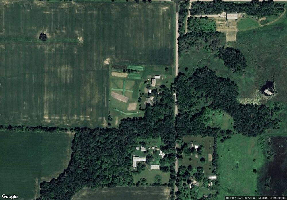
Map
Nearby Homes
- 8894 State Road 91
- 0 Quarry St
- N9659 Willard Rd
- 500 Hillside Dr
- W1221 County V Rd
- 929 Rush Lake Loop Rd
- 0 Seward Cir Unit 1980387
- 298 E Liberty St
- 384 E Cumberland St
- N8568 Seward Dr
- 170 Spring St
- 131 S State St
- 169 Sumner St
- 249 E Liberty St
- 195 E Park Ave
- 115 E Ceresco St
- 163 E Noyes St
- 116 W Franklin St
- 180 N Wisconsin St
- 113 E Liberty St
- 1189 Koro Rd
- 1164 Koro Rd
- 1188 Koro Rd
- 1292 Koro Rd
- 9290 Grams Rd
- 9144 Meadow Brook Rd
- 9476 Meadow Brook Rd
- 1140 Morrison Rd
- 1419 Koro Rd
- 1419 Koro Rd
- 9161 Grams Rd
- 9132 Grams Rd
- 1115 Morrison Rd
- 9048 Grams Rd
- 1454 Koro Rd
- 1558 Koro Rd
- 9548 Meadow Brook Rd
- 958 Koro Rd
- 9048 Grams Rd
- 0 Meadow Brook Rd