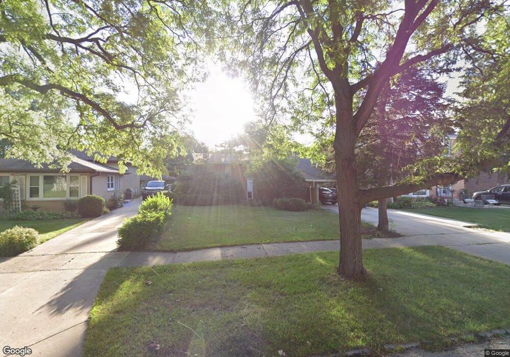
1231 Lundergan Ave Park Ridge, IL 60068
Estimated Value: $432,656 - $535,000
4
Beds
2
Baths
1,284
Sq Ft
$381/Sq Ft
Est. Value
About This Home
This home is located at 1231 Lundergan Ave, Park Ridge, IL 60068 and is currently estimated at $488,664, approximately $380 per square foot. 1231 Lundergan Ave is a home located in Cook County with nearby schools including Franklin Elementary School, Emerson Middle School, and Maine East High School.
Ownership History
Date
Name
Owned For
Owner Type
Purchase Details
Closed on
Feb 1, 2007
Sold by
Mandik James J and Mandik Gloria A
Bought by
Nelson Timothy J and Nelson Teresa A
Current Estimated Value
Home Financials for this Owner
Home Financials are based on the most recent Mortgage that was taken out on this home.
Original Mortgage
$304,000
Outstanding Balance
$183,194
Interest Rate
6.27%
Mortgage Type
Unknown
Estimated Equity
$305,470
Create a Home Valuation Report for This Property
The Home Valuation Report is an in-depth analysis detailing your home's value as well as a comparison with similar homes in the area
Home Values in the Area
Average Home Value in this Area
Purchase History
| Date | Buyer | Sale Price | Title Company |
|---|---|---|---|
| Nelson Timothy J | $380,000 | Attorneys Title Guaranty Fun |
Source: Public Records
Mortgage History
| Date | Status | Borrower | Loan Amount |
|---|---|---|---|
| Open | Nelson Timothy J | $304,000 |
Source: Public Records
Tax History Compared to Growth
Tax History
| Year | Tax Paid | Tax Assessment Tax Assessment Total Assessment is a certain percentage of the fair market value that is determined by local assessors to be the total taxable value of land and additions on the property. | Land | Improvement |
|---|---|---|---|---|
| 2024 | $6,928 | $28,843 | $8,941 | $19,902 |
| 2023 | $7,269 | $31,373 | $8,941 | $22,432 |
| 2022 | $7,269 | $31,373 | $8,941 | $22,432 |
| 2021 | $4,670 | $18,686 | $5,846 | $12,840 |
| 2020 | $4,552 | $18,686 | $5,846 | $12,840 |
| 2019 | $4,883 | $22,164 | $5,846 | $16,318 |
| 2018 | $6,012 | $24,444 | $5,158 | $19,286 |
| 2017 | $6,596 | $26,524 | $5,158 | $21,366 |
| 2016 | $7,336 | $29,233 | $5,158 | $24,075 |
| 2015 | $6,490 | $23,666 | $4,470 | $19,196 |
| 2014 | $6,379 | $23,666 | $4,470 | $19,196 |
| 2013 | $6,025 | $23,666 | $4,470 | $19,196 |
Source: Public Records
Map
Nearby Homes
- 1241 Elliott St
- 1316 N Northwest Hwy
- 1100 Potter Rd
- 1057 Busse Hwy
- 901 Florence Dr
- 2308 Oakton St
- 1705 Pavilion Way Unit 303
- 1035 N Dee Rd
- 1010 Crabtree Ln
- 832 Sylviawood Ave
- 1715 Pavilion Way Unit 205
- 1745 Pavilion Way Unit 502
- 1039 N Northwest Hwy Unit A5
- 980 Apple Creek Ln
- 2015 Busse Hwy
- 2200 Bouterse St Unit 409B
- 2200 Bouterse St Unit 407
- 911 Busse Hwy Unit 302
- 900 Rowe Ave
- 1819 Glenview Ave
- 1227 Lundergan Ave
- 1235 Lundergan Ave
- 1239 Lundergan Ave
- 1221 Lundergan Ave
- 1226 Elliott St
- 1224 Elliott St
- 1232 Elliott St
- 1222 Elliott St
- 1245 Lundergan Ave
- 1238 Elliott St
- 1238 Elliott St
- 1220 Elliott St
- 1218 Elliott St
- 1244 Elliott St
- 1214 Elliott St
- 1210 Elliott St
- 1210 Elliott St
- 1301 Lundergan Ave
- 1301 Lundergan Ave
- 1300 Elliott St