1231 NE Horizon Loop Unit 202 Hillsboro, OR 97124
Orenco Station NeighborhoodEstimated Value: $279,000 - $305,000
1
Bed
1
Bath
669
Sq Ft
$435/Sq Ft
Est. Value
About This Home
This home is located at 1231 NE Horizon Loop Unit 202, Hillsboro, OR 97124 and is currently estimated at $290,907, approximately $434 per square foot. 1231 NE Horizon Loop Unit 202 is a home located in Washington County with nearby schools including Quatama Elementary School, J.W. Poynter Middle School, and Liberty High School.
Ownership History
Date
Name
Owned For
Owner Type
Purchase Details
Closed on
Nov 6, 2023
Sold by
John D Hedlund Trust
Bought by
John D Hedlund Trust and Hedlund
Current Estimated Value
Purchase Details
Closed on
Nov 2, 2001
Sold by
Hedlund John D
Bought by
Hedlund John D and John D Hedlund Trust
Purchase Details
Closed on
Aug 25, 2000
Sold by
Sprengert Danielle R
Bought by
Hedlund John D
Purchase Details
Closed on
Aug 30, 1999
Sold by
Orenco East Village Llc
Bought by
Sprengart Danielle R
Home Financials for this Owner
Home Financials are based on the most recent Mortgage that was taken out on this home.
Original Mortgage
$95,400
Interest Rate
7.56%
Mortgage Type
FHA
Create a Home Valuation Report for This Property
The Home Valuation Report is an in-depth analysis detailing your home's value as well as a comparison with similar homes in the area
Home Values in the Area
Average Home Value in this Area
Purchase History
| Date | Buyer | Sale Price | Title Company |
|---|---|---|---|
| John D Hedlund Trust | -- | None Listed On Document | |
| Hedlund John D | -- | -- | |
| Hedlund John D | $100,000 | Fidelity National Title Co | |
| Sprengart Danielle R | $97,700 | Transnation Title Insurance |
Source: Public Records
Mortgage History
| Date | Status | Borrower | Loan Amount |
|---|---|---|---|
| Previous Owner | Sprengart Danielle R | $95,400 |
Source: Public Records
Tax History Compared to Growth
Tax History
| Year | Tax Paid | Tax Assessment Tax Assessment Total Assessment is a certain percentage of the fair market value that is determined by local assessors to be the total taxable value of land and additions on the property. | Land | Improvement |
|---|---|---|---|---|
| 2025 | $2,697 | $165,020 | -- | -- |
| 2024 | $2,621 | $160,220 | -- | -- |
| 2023 | $2,621 | $155,560 | $0 | $0 |
| 2022 | $2,550 | $155,560 | $0 | $0 |
| 2021 | $2,499 | $146,640 | $0 | $0 |
| 2020 | $2,445 | $142,370 | $0 | $0 |
| 2019 | $2,375 | $138,230 | $0 | $0 |
| 2018 | $2,273 | $134,210 | $0 | $0 |
| 2017 | $2,191 | $130,310 | $0 | $0 |
| 2016 | $2,131 | $126,520 | $0 | $0 |
| 2015 | $2,045 | $122,840 | $0 | $0 |
| 2014 | $2,022 | $119,270 | $0 | $0 |
Source: Public Records
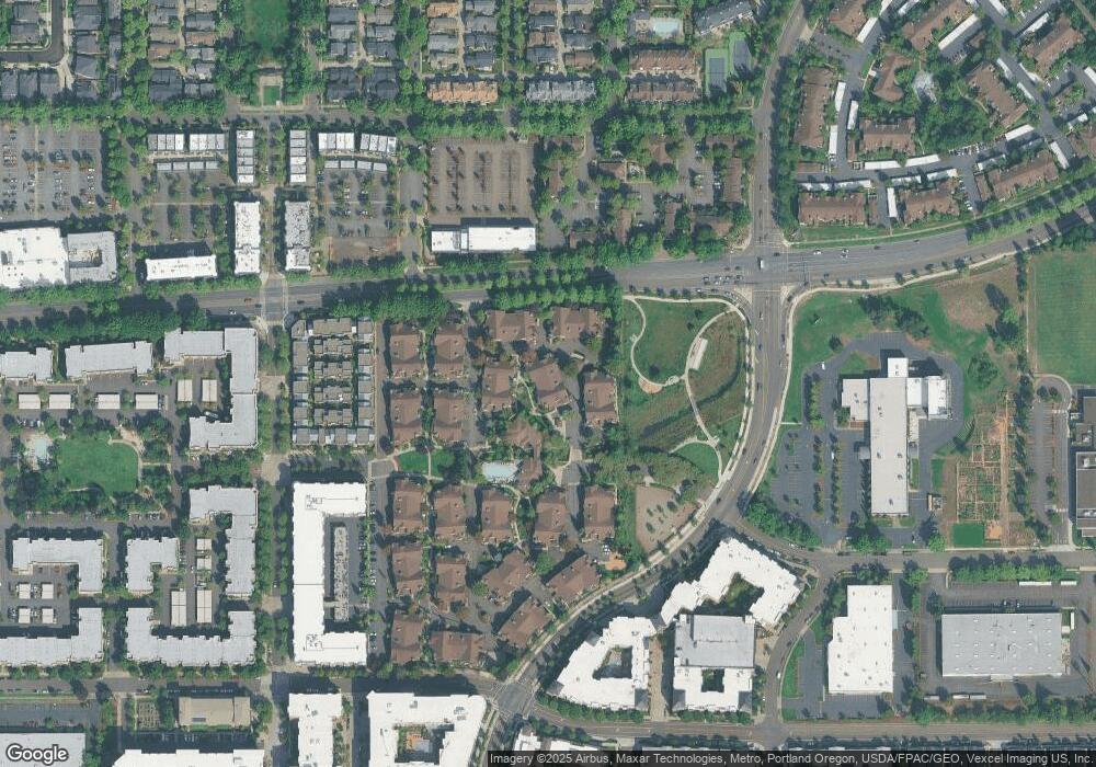
Map
Nearby Homes
- 1170 NE 64th Ln Unit 1209
- 1160 NE Horizon Loop
- 1145 NE Horizon Loop Unit 1708
- 1145 NE Horizon Loop Unit 1704
- 1150 NE Horizon Loop Unit 1502
- 1150 NE Horizon Loop Unit 1501
- 1110 NE 63rd Way Unit 2007
- 1110 NE 63rd Way Unit 2003
- 6267 NE Carillion Dr
- 6267 NE Carillion Dr Unit 103
- 6547 NE Brighton St Unit 67
- 6585 NE Brighton St
- 1452 NE Orenco Station Pkwy
- 6650 NE Alder St
- 6614 NE Alder St
- 6644 NE Rosebay Dr
- 6675 NE Birch St
- 1860 NE Orenco Station Pkwy
- 1732 NE Ashberry Dr Unit 58
- 6055 NE Alder St
- 1231 NE Horizon Loop Unit 208
- 1231 NE Horizon Loop Unit 209
- 1231 NE Horizon Loop Unit 204
- 1231 NE Horizon Loop Unit 206
- 1231 NE Horizon Loop Unit 205
- 1231 NE Horizon Loop Unit 29
- 1231 NE Horizon Loop Unit 28
- 1231 NE Horizon Loop
- 1231 NE Horizon Loop Unit 26
- 1231 NE Horizon Loop
- 1231 NE Horizon Loop Unit 24
- 1231 NE Horizon Loop
- 1231 NE Horizon Loop
- 1231 NE Horizon Loop Unit 21
- 1231 NE Horizon Loop
- 1231 NE Horizon Loop Unit 210
- 1231 NE Horizon Loop Unit 201
- 1220 NE Horizon Loop Unit 107
- 1220 NE Horizon Loop Unit 106
- 1220 NE Horizon Loop Unit 109