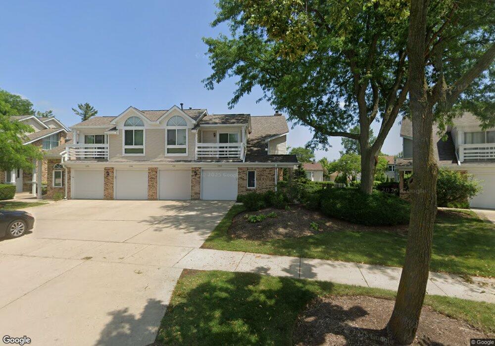
1231 Ranch View Ct Buffalo Grove, IL 60089
Prairie Park-Lake County NeighborhoodEstimated Value: $285,000 - $304,000
2
Beds
2
Baths
1,154
Sq Ft
$255/Sq Ft
Est. Value
About This Home
This home is located at 1231 Ranch View Ct, Buffalo Grove, IL 60089 and is currently estimated at $294,051, approximately $254 per square foot. 1231 Ranch View Ct is a home located in Lake County with nearby schools including Prairie Elementary School, Twin Groves Middle School, and Adlai E Stevenson High School.
Ownership History
Date
Name
Owned For
Owner Type
Purchase Details
Closed on
Dec 28, 2004
Sold by
Arora Arun and Arora Suparna
Bought by
Zhu Jiewen and Lu Yi
Current Estimated Value
Home Financials for this Owner
Home Financials are based on the most recent Mortgage that was taken out on this home.
Original Mortgage
$155,200
Interest Rate
5.77%
Mortgage Type
Balloon
Create a Home Valuation Report for This Property
The Home Valuation Report is an in-depth analysis detailing your home's value as well as a comparison with similar homes in the area
Home Values in the Area
Average Home Value in this Area
Purchase History
| Date | Buyer | Sale Price | Title Company |
|---|---|---|---|
| Zhu Jiewen | $194,000 | St |
Source: Public Records
Mortgage History
| Date | Status | Borrower | Loan Amount |
|---|---|---|---|
| Closed | Zhu Jiewen | $155,200 |
Source: Public Records
Tax History Compared to Growth
Tax History
| Year | Tax Paid | Tax Assessment Tax Assessment Total Assessment is a certain percentage of the fair market value that is determined by local assessors to be the total taxable value of land and additions on the property. | Land | Improvement |
|---|---|---|---|---|
| 2024 | $7,348 | $75,919 | $30,642 | $45,277 |
| 2023 | $6,200 | $71,635 | $28,913 | $42,722 |
| 2022 | $6,200 | $59,464 | $24,001 | $35,463 |
| 2021 | $5,969 | $58,823 | $23,742 | $35,081 |
| 2020 | $5,827 | $59,024 | $23,823 | $35,201 |
| 2019 | $5,744 | $58,806 | $23,735 | $35,071 |
| 2018 | $5,053 | $53,315 | $25,799 | $27,516 |
| 2017 | $4,960 | $52,071 | $25,197 | $26,874 |
| 2016 | $4,841 | $49,862 | $24,128 | $25,734 |
| 2015 | $4,730 | $46,630 | $22,564 | $24,066 |
| 2014 | $3,694 | $35,894 | $24,235 | $11,659 |
| 2012 | $3,571 | $35,966 | $24,284 | $11,682 |
Source: Public Records
Map
Nearby Homes
- 1152 Courtland Dr Unit 406
- 1032 Courtland Dr Unit 9
- 950 Belmar Ln
- 1141 Devonshire Rd
- 1265 Devonshire Rd
- 890 Knollwood Dr
- 5107 N Arlington Heights Rd
- 12 Cloverdale Ct
- 931 Shady Grove Ln
- 327 Lasalle Ln
- 1324 Fairfax Ln Unit B32
- 1325 Fairfax Ln
- 800 Clohesey Dr
- 1546 Brandywyn Ln
- 1357 Bristol Ln Unit Q4
- 1118 Larraway Dr
- 887 Saybrook Ln Unit 2
- 614 Lyon Ct
- 437 Caren Dr
- 711 Woodhollow Ln
- 1233 Ranch View Ct Unit 3
- 1235 Ranch View Ct Unit 3
- 1237 Ranch View Ct Unit 3
- 1241 Ranch View Ct Unit 3
- 1241 Ranchview Ct
- 1229 Ranch View Ct Unit 2
- 1243 Ranchview Ct
- 1243 Ranch View Ct Unit 3
- 1227 Ranchview Ct
- 1245 Ranch View Ct Unit 3
- 1227 Ranch View Ct Unit 2
- 1225 Ranch View Ct Unit 2
- 1225 Ranchview Ct
- 1247 Ranch View Ct Unit 3
- 1223 Ranch View Ct Unit 2
- 1337 Devonshire Rd
- 1335 Devonshire Rd
- 1221 Ranch View Ct
- 1221 Ranchview Ct
- 1339 Devonshire Rd