1231 S Englehart Rd Deford, MI 48729
Estimated Value: $238,339 - $346,000
3
Beds
2
Baths
1,828
Sq Ft
$162/Sq Ft
Est. Value
About This Home
This home is located at 1231 S Englehart Rd, Deford, MI 48729 and is currently estimated at $295,335, approximately $161 per square foot. 1231 S Englehart Rd is a home with nearby schools including Cass City Elementary School and Cass City Junior/Senior High School.
Ownership History
Date
Name
Owned For
Owner Type
Purchase Details
Closed on
Dec 10, 2015
Sold by
Zimba Benjamin J and Zimba Allison L
Bought by
Zimba Benjamin J and Benjamin J Zimba Trust
Current Estimated Value
Purchase Details
Closed on
Dec 8, 2010
Sold by
Kilburn Evelyn
Bought by
Zimba Benjamin J
Home Financials for this Owner
Home Financials are based on the most recent Mortgage that was taken out on this home.
Original Mortgage
$320,000
Outstanding Balance
$111,106
Interest Rate
4.16%
Mortgage Type
Future Advance Clause Open End Mortgage
Estimated Equity
$184,229
Purchase Details
Closed on
Mar 30, 2010
Sold by
Zemba Estee Elizabeth
Bought by
Zimba Benjamin Jesse
Create a Home Valuation Report for This Property
The Home Valuation Report is an in-depth analysis detailing your home's value as well as a comparison with similar homes in the area
Home Values in the Area
Average Home Value in this Area
Purchase History
| Date | Buyer | Sale Price | Title Company |
|---|---|---|---|
| Zimba Benjamin J | -- | Attorney | |
| Zimba Benjamin J | $499,000 | None Available | |
| Zimba Benjamin Jesse | -- | None Available |
Source: Public Records
Mortgage History
| Date | Status | Borrower | Loan Amount |
|---|---|---|---|
| Open | Zimba Benjamin J | $320,000 |
Source: Public Records
Tax History Compared to Growth
Tax History
| Year | Tax Paid | Tax Assessment Tax Assessment Total Assessment is a certain percentage of the fair market value that is determined by local assessors to be the total taxable value of land and additions on the property. | Land | Improvement |
|---|---|---|---|---|
| 2025 | $1,133 | $108,400 | $0 | $0 |
| 2024 | $1,133 | $104,800 | $0 | $0 |
| 2023 | $1,290 | $96,600 | $0 | $0 |
| 2022 | $1,233 | $85,300 | $0 | $0 |
| 2021 | $1,216 | $86,400 | $0 | $0 |
| 2020 | $1,172 | $73,500 | $0 | $0 |
| 2019 | $1,154 | $70,100 | $0 | $0 |
| 2018 | $1,129 | $73,500 | $0 | $0 |
| 2017 | $1,131 | $70,300 | $0 | $0 |
| 2016 | $1,096 | $63,100 | $0 | $0 |
| 2015 | $8 | $62,500 | $0 | $0 |
| 2014 | $8 | $37,300 | $0 | $0 |
| 2013 | $6 | $35,400 | $0 | $0 |
Source: Public Records
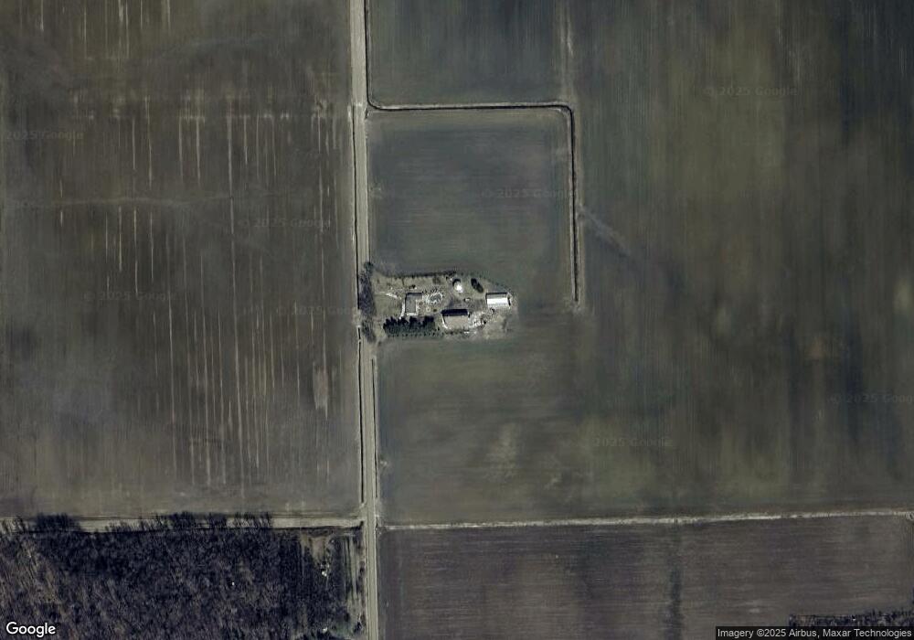
Map
Nearby Homes
- 7405 E Bevens Rd
- 5831 Reed St
- 3469 Pine St
- 6935 Sanilac Rd
- 5745 Adams Rd
- V/L Warner Rd
- 5770 Denhoff Rd
- 5070 Sanilac Rd
- 2665 N Cemetery Rd
- 6313 Kelly Rd
- 0 Deckerville Deckerville Rd
- 0000 Cooklin Rd
- 5087 W Sanilac Rd
- 1771 S Hurds Corner Rd
- 3254 S Plain Rd
- 3591 Curry Rd
- 3803 Warner Rd
- 1205 Pine Lake Trail
- 4539 Williams Dr
- V/L Murray Rd
- 1296 S Englehart Rd
- 1326 S Englehart Rd
- 1331 S Engelhart Rd
- 6990 Mushroom Rd
- 6801 Chapin Rd
- 7091 Mushroom Rd
- 7101 Mushroom Rd
- 6850 Mushroom Rd
- 7200 Chapin Rd
- 6855 Mushroom Rd
- 7181 Mushroom Rd
- 0 Burmon Rd Unit 218009567
- 0 Burmon Rd
- 7256 Mushroom Rd
- 6611 Chapin Rd
- 6961 Chapin Rd
- 0 Mushroom Rd Unit 5501467
- 0 Mushroom Rd Unit 216095481
- 1610 Burmon Rd
- 1655 Burmon Rd