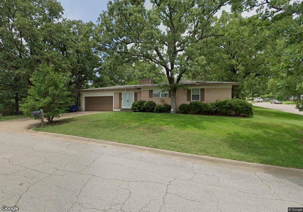
1231 S Perry Ave Denison, TX 75020
Estimated Value: $219,694 - $237,000
3
Beds
2
Baths
1,833
Sq Ft
$125/Sq Ft
Est. Value
About This Home
This home is located at 1231 S Perry Ave, Denison, TX 75020 and is currently estimated at $228,347, approximately $124 per square foot. 1231 S Perry Ave is a home located in Grayson County with nearby schools including Houston Elementary School, Scott Middle School, and Denison High School.
Ownership History
Date
Name
Owned For
Owner Type
Purchase Details
Closed on
Sep 1, 2009
Sold by
4710 Reiger Partners Ltd
Bought by
Laredo Property Development Lc
Current Estimated Value
Purchase Details
Closed on
Jun 25, 2008
Sold by
Deutsche Bank National Trust Co
Bought by
4710 Reiger Partners Ltd
Home Financials for this Owner
Home Financials are based on the most recent Mortgage that was taken out on this home.
Original Mortgage
$64,000
Interest Rate
5.99%
Mortgage Type
Purchase Money Mortgage
Purchase Details
Closed on
Apr 1, 2008
Sold by
Ferdinand Sandra G
Bought by
Deutsche Bank National Trust Co
Create a Home Valuation Report for This Property
The Home Valuation Report is an in-depth analysis detailing your home's value as well as a comparison with similar homes in the area
Home Values in the Area
Average Home Value in this Area
Purchase History
| Date | Buyer | Sale Price | Title Company |
|---|---|---|---|
| Laredo Property Development Lc | -- | None Available | |
| 4710 Reiger Partners Ltd | -- | First American Title | |
| Deutsche Bank National Trust Co | $96,872 | None Available |
Source: Public Records
Mortgage History
| Date | Status | Borrower | Loan Amount |
|---|---|---|---|
| Previous Owner | 4710 Reiger Partners Ltd | $64,000 |
Source: Public Records
Tax History Compared to Growth
Tax History
| Year | Tax Paid | Tax Assessment Tax Assessment Total Assessment is a certain percentage of the fair market value that is determined by local assessors to be the total taxable value of land and additions on the property. | Land | Improvement |
|---|---|---|---|---|
| 2025 | $4,382 | $203,416 | $41,951 | $161,465 |
| 2024 | $4,382 | $188,592 | $41,314 | $147,278 |
| 2023 | $4,138 | $182,650 | $27,781 | $154,869 |
| 2022 | $4,081 | $171,752 | $24,570 | $147,182 |
| 2021 | $3,428 | $135,936 | $18,291 | $117,645 |
| 2020 | $3,454 | $130,935 | $18,291 | $112,644 |
| 2019 | $3,679 | $133,705 | $18,291 | $115,414 |
| 2018 | $3,201 | $115,401 | $14,833 | $100,568 |
| 2017 | $2,827 | $101,036 | $11,739 | $89,297 |
| 2016 | $2,636 | $94,217 | $8,645 | $85,572 |
| 2015 | $1,917 | $67,857 | $8,645 | $59,212 |
| 2014 | $1,825 | $64,590 | $8,645 | $55,945 |
Source: Public Records
Map
Nearby Homes
- 1105 Woodlawn Blvd
- 1031 W Acheson St
- 1315 W Hull St
- 1301 S Scullin Ave
- 908 W Murray St
- 1510 W Heron St
- 1016 W Hanna St
- 1023 W Bullock St
- 1007 S Scullin Ave
- 1109 S Chandler Ave
- 1210 W Bullock St
- 2560 S Scullin Ave
- TBD W Texas St
- 1401 W Texas St
- 0000 W Texas St
- 1011 S Armstrong Ave
- 901 W Munson St
- 1705 Woodlawn Blvd
- 919 W Day St
- 708 W Texas St
- 1225 S Perry Ave
- 1215 S Perry Ave
- 1300 Cole Dr
- 1230 S Perry Ave
- 1224 S Perry Ave
- 1207 S Perry Ave
- 1301 Cole Dr
- 1216 S Perry Ave
- 1130 W Heron St
- 1308 Cole Dr
- 1208 S Perry Ave
- 1126 W Heron St
- 1201 S Perry Ave
- 1305 Cole Dr
- 1122 W Heron St
- 1200 S Perry Ave
- 1314 Cole Dr
- 1225 Treece Ave
- 1219 Woodlawn Cir
- 1217 Treece Ave