1231 Shoop Cir Unit 3 Geneva, IL 60134
Southwest Geneva NeighborhoodEstimated Value: $509,000 - $536,000
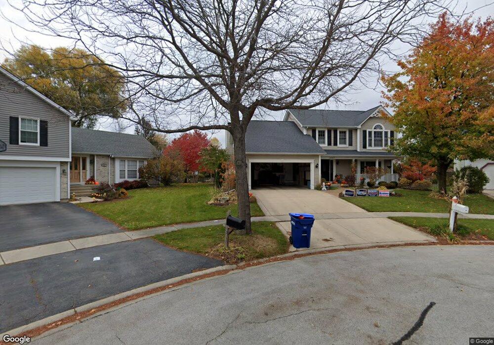
About This Home
This home is located at 1231 Shoop Cir Unit 3, Geneva, IL 60134 and is currently estimated at $524,662, approximately $242 per square foot. 1231 Shoop Cir Unit 3 is a home located in Kane County with nearby schools including Williamsburg Elementary School, Geneva Middle School North, and Geneva Middle School South.
Ownership History
We collect this data history from publicly available records. To have your information removed, we recommend requesting removal directly through your county’s website.
Purchase Details
Purchase Details
Home Financials for this Owner
Home Financials are based on the most recent Mortgage that was taken out on this home.Purchase Details
Home Financials for this Owner
Home Financials are based on the most recent Mortgage that was taken out on this home.Purchase Details
Home Financials for this Owner
Home Financials are based on the most recent Mortgage that was taken out on this home.Home Values in the Area
Average Home Value in this Area
Purchase History
We collect this data history from publicly available records. To have your information removed, we recommend requesting removal directly through your county’s website.
| Date | Buyer | Sale Price | Title Company |
|---|---|---|---|
| -- | None Available | ||
| $259,500 | Fox Title Company | ||
| $142,000 | -- | ||
| $197,000 | Advanced Title Services Inc |
Mortgage History
We collect this data history from publicly available records. To have your information removed, we recommend requesting removal directly through your county’s website.
| Date | Status | Borrower | Loan Amount |
|---|---|---|---|
| Open | $140,000 | ||
| Previous Owner | $163,000 | ||
| Previous Owner | $130,000 |
Tax History
We collect this data history from publicly available records. To have your information removed, we recommend requesting removal directly through your county’s website.
| Year | Tax Paid | Tax Assessment Tax Assessment Total Assessment is a certain percentage of the fair market value that is determined by local assessors to be the total taxable value of land and additions on the property. | Land | Improvement |
|---|---|---|---|---|
| 2024 | $9,465 | $140,701 | $33,506 | $107,195 |
| 2023 | $9,195 | $127,910 | $30,460 | $97,450 |
| 2022 | $8,815 | $118,853 | $28,303 | $90,550 |
| 2021 | $8,553 | $114,436 | $27,251 | $87,185 |
| 2020 | $8,452 | $105,267 | $26,835 | $78,432 |
| 2019 | $8,428 | $103,274 | $26,327 | $76,947 |
| 2018 | $8,491 | $104,159 | $26,327 | $77,832 |
| 2017 | $8,394 | $101,381 | $25,625 | $75,756 |
| 2016 | $8,277 | $98,249 | $25,279 | $72,970 |
| 2015 | -- | $93,410 | $24,034 | $69,376 |
| 2014 | -- | $90,880 | $24,034 | $66,846 |
| 2013 | -- | $90,880 | $24,034 | $66,846 |
Map
- Unit 8A Prairie Grove Dr
- Unit 6A Prairie Grove Dr
- Unit 4B Prairie Grove Dr
- Unit 5B Prairie Grove Dr
- Unit 8B Prairie Grove Dr
- Unit 9A Prairie Grove Dr
- Unit 4A Prairie Grove Dr
- Unit 5A Prairie Grove Dr
- Unit 7A Prairie Grove Dr
- Unit 6C Prairie Grove Dr
- Unit 5C Prairie Grove Dr
- Unit 6B Prairie Grove Dr
- Unit 4C Prairie Grove Dr
- Unit 7C Prairie Grove Dr
- 2725 Miller Rd
- 926 Ginger Ln Unit B
- 2778 Miller Rd
- 839 S Randall Rd
- 2546 Heritage Ct Unit 2
- 635 Samantha Cir
- 1236 Herrington Rd Unit 3
- 1246 Herrington Rd
- 1216 Herrington Rd
- 1256 Herrington Rd
- 1206 Herrington Rd
- 1241 Herrington Place
- 1239 Shoop Cir
- 1221 Shoop Cir
- 1219 Herrington Place
- 1200 Herrington Rd Unit 3
- 1276 Herrington Rd
- 1251 Herrington Rd
- 1263 Herrington Rd
- 1239 Herrington Place Unit 3
- 1241 Shoop Cir
- 1229 Herrington Place
- 1286 Herrington Rd Unit 3
- 1209 Herrington Rd
- 1139 Shoop Dr
- 1237 Herrington Place
Ask me questions while you tour the home.