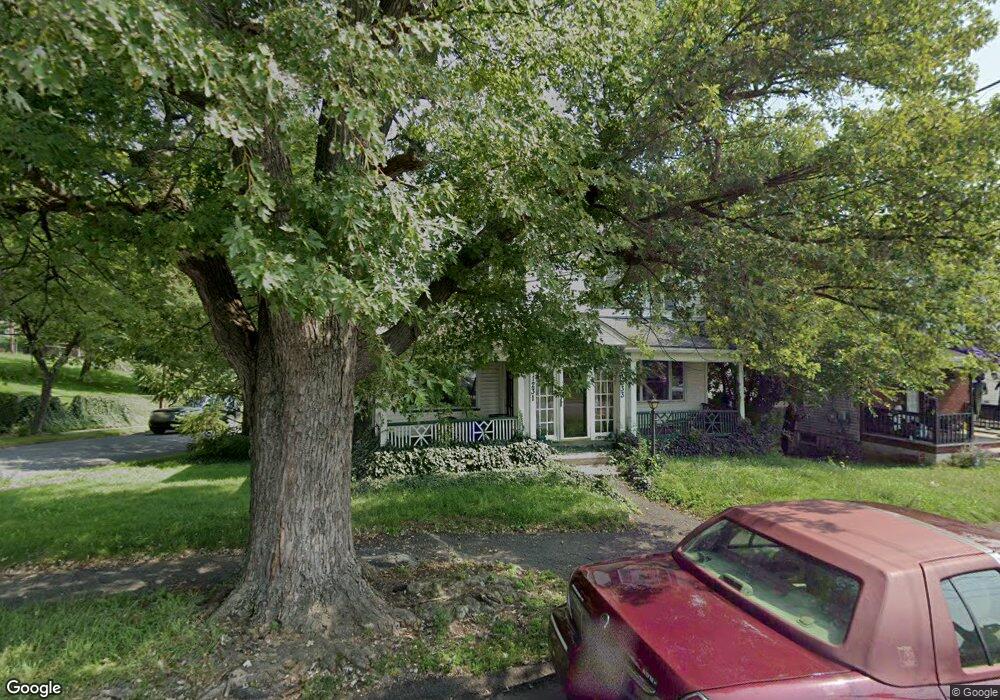
1231 Snyder Ave Unit 1233 Scranton, PA 18504
Hyde Park NeighborhoodEstimated Value: $163,000 - $273,000
--
Bed
--
Bath
--
Sq Ft
5,968
Sq Ft Lot
About This Home
This home is located at 1231 Snyder Ave Unit 1233, Scranton, PA 18504 and is currently estimated at $199,724. 1231 Snyder Ave Unit 1233 is a home located in Lackawanna County with nearby schools including Longan Elementary School, Adams Elementary School, and Frances Willard School.
Ownership History
Date
Name
Owned For
Owner Type
Purchase Details
Closed on
Nov 21, 2022
Sold by
Reed Sterling P and Reed Evelyn M
Bought by
Percival Gabrielle
Current Estimated Value
Home Financials for this Owner
Home Financials are based on the most recent Mortgage that was taken out on this home.
Original Mortgage
$119,200
Outstanding Balance
$115,497
Interest Rate
6.94%
Mortgage Type
New Conventional
Estimated Equity
$84,227
Purchase Details
Closed on
Dec 1, 1993
Bought by
Reed Sterling P and Reed Evelyn M
Create a Home Valuation Report for This Property
The Home Valuation Report is an in-depth analysis detailing your home's value as well as a comparison with similar homes in the area
Home Values in the Area
Average Home Value in this Area
Purchase History
| Date | Buyer | Sale Price | Title Company |
|---|---|---|---|
| Percival Gabrielle | $149,000 | None Listed On Document | |
| Reed Sterling P | $90,000 | -- |
Source: Public Records
Mortgage History
| Date | Status | Borrower | Loan Amount |
|---|---|---|---|
| Open | Percival Gabrielle | $119,200 |
Source: Public Records
Tax History Compared to Growth
Tax History
| Year | Tax Paid | Tax Assessment Tax Assessment Total Assessment is a certain percentage of the fair market value that is determined by local assessors to be the total taxable value of land and additions on the property. | Land | Improvement |
|---|---|---|---|---|
| 2025 | $3,780 | $12,000 | $1,500 | $10,500 |
| 2024 | $3,449 | $12,000 | $1,500 | $10,500 |
| 2023 | $3,449 | $12,000 | $1,500 | $10,500 |
| 2022 | $3,373 | $12,000 | $1,500 | $10,500 |
| 2021 | $3,373 | $12,000 | $1,500 | $10,500 |
| 2020 | $3,309 | $12,000 | $1,500 | $10,500 |
| 2019 | $3,110 | $12,000 | $1,500 | $10,500 |
| 2018 | $3,110 | $12,000 | $1,500 | $10,500 |
| 2017 | $3,054 | $12,000 | $1,500 | $10,500 |
| 2016 | $0 | $12,000 | $1,500 | $10,500 |
| 2015 | $1,949 | $12,000 | $1,500 | $10,500 |
| 2014 | -- | $12,000 | $1,500 | $10,500 |
Source: Public Records
Map
Nearby Homes
- 1250 S 1252 6th
- 1203 Acker Ave
- 625 Landis St
- 610 Landis St
- 1115 Watson St
- 1009 1011 Acker Ave Unit L 109
- 1143 Reynolds Ave
- 924 S Main Ave
- 730 W Locust St
- 1227 Rundle St
- LOT#16 Reynolds Ave
- Lot# 7 Reynolds Ave
- 1301 Sloan St
- 1234 Bryn Mawr St Unit 11
- 901 Eynon St
- 607 3rd Ave
- 705 Hampton St
- 1335 Sloan St
- 1150 W Elm St
- 727 Fellows St
- 1231-1233 Snyder Ave
- 1225 Snyder Ave
- 1243 Snyder Ave Unit 1245
- 1221 Snyder Ave
- 709 Smith St
- 1 Sloan St Unit /2
- 1 Sloan St
- 1247 Snyder Ave
- 1217 Snyder Ave
- 707 Smith St
- 702 Smith St
- 705 Smith St Unit 707
- 815 Smith St
- 802 Smith St
- 1251 Snyder Ave
- 1214 Acker Ave Unit L23
- 1248 Snyder Ave
- 1213 Snyder Ave
- 1250 Snyder Ave
- 1252 Snyder Ave Unit 1254