12313 Forrest Hill Rd Clear Spring, MD 21722
Estimated Value: $292,000 - $335,000
Studio
2
Baths
1,720
Sq Ft
$182/Sq Ft
Est. Value
About This Home
This home is located at 12313 Forrest Hill Rd, Clear Spring, MD 21722 and is currently estimated at $313,389, approximately $182 per square foot. 12313 Forrest Hill Rd is a home located in Washington County with nearby schools including Clear Spring Elementary School, Clear Spring Middle School, and Clear Spring High School.
Ownership History
Date
Name
Owned For
Owner Type
Purchase Details
Closed on
Dec 27, 2001
Sold by
Shupp Shawn P
Bought by
Shupp Shawn P
Current Estimated Value
Purchase Details
Closed on
Jun 19, 1998
Sold by
Shupp Shawn P
Bought by
Shupp Shawn P
Purchase Details
Closed on
Nov 8, 1993
Sold by
Hensley R D
Bought by
Shupp Shawn P
Create a Home Valuation Report for This Property
The Home Valuation Report is an in-depth analysis detailing your home's value as well as a comparison with similar homes in the area
Purchase History
| Date | Buyer | Sale Price | Title Company |
|---|---|---|---|
| Shupp Shawn P | -- | -- | |
| Shupp Shawn P | -- | -- | |
| Shupp Shawn P | $20,000 | -- |
Source: Public Records
Mortgage History
| Date | Status | Borrower | Loan Amount |
|---|---|---|---|
| Closed | Shupp Shawn P | -- |
Source: Public Records
Tax History
| Year | Tax Paid | Tax Assessment Tax Assessment Total Assessment is a certain percentage of the fair market value that is determined by local assessors to be the total taxable value of land and additions on the property. | Land | Improvement |
|---|---|---|---|---|
| 2025 | $2,065 | $210,867 | $0 | $0 |
| 2024 | $2,065 | $193,633 | $0 | $0 |
| 2023 | $1,886 | $176,400 | $72,100 | $104,300 |
| 2022 | $1,861 | $173,933 | $0 | $0 |
| 2021 | $1,843 | $171,467 | $0 | $0 |
| 2020 | $1,843 | $169,000 | $72,100 | $96,900 |
| 2019 | $1,851 | $169,000 | $72,100 | $96,900 |
| 2018 | $1,851 | $169,000 | $72,100 | $96,900 |
| 2017 | $1,869 | $170,700 | $0 | $0 |
| 2016 | -- | $169,767 | $0 | $0 |
| 2015 | $1,831 | $168,833 | $0 | $0 |
| 2014 | $1,831 | $167,900 | $0 | $0 |
Source: Public Records
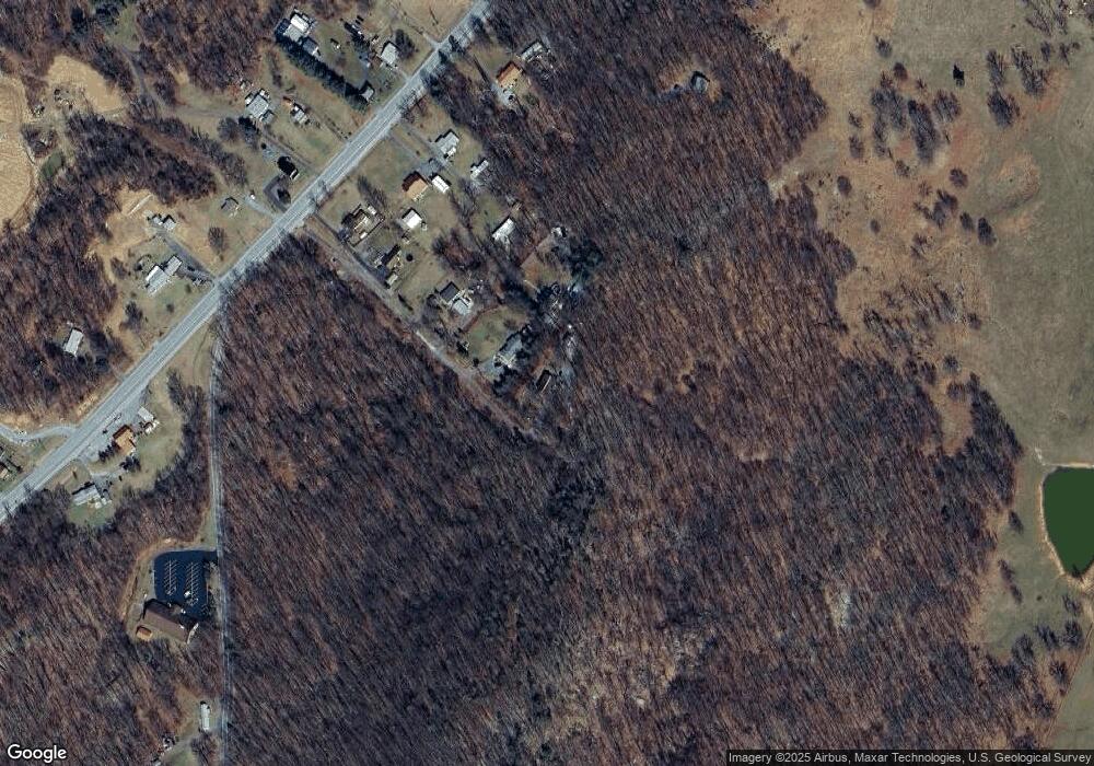
Map
Nearby Homes
- 11868 National Pike
- 11430 National Pike
- 12136 Big Pool Rd
- 12829 Lanes Run Rd
- Block 139 Lot 56 Boo Blvd
- 13407 Rhodes Ct
- 11717 Ashton Rd
- 11705 Ashton Rd
- Block 87 Lot 4 Pikers Peak Dr
- Block 90 Lot 8 Ranger Rd
- Block 11 Lot 14 Hot Springs Ave
- Block 12 Lot 41 Ranger Rd
- 0 Block 10 Lot 2 Deadwood Dr Unit WVBE2040636
- Block 78 Lot 71 & 72 Boo Blvd
- Block 7 Lot 30 & 31 Campfire Blvd
- Block 8 Lot 16 & 17 Campfire Blvd
- Block 21 Lot 4 Old Faceful St
- 25-20 Rocky Rd
- Block 1 Lot 27 Boo Blvd
- Block 14 Lot 10 Old Faceful Rd
- 12311 Forrest Hill Rd
- 12315 Forrest Hill Rd
- 12319 Forrest Hill Rd
- 12317 Forrest Hill Rd
- 12005 National Pike
- 12019 National Pike
- 12013 National Pike
- 12003 National Pike
- 12025 National Pike Unit 12029
- 12025 National Pike
- 0 National Pike Unit WA9700626
- 0 National Pike Unit MDWA2025232
- 12021 National Pike
- 12029 National Pike
- 0 National Pike Unit WA7908054
- 12035 National Pike
- 12033 National Pike
- 12000 National Pike
- 12014 National Pike
- 12020 National Pike
Your Personal Tour Guide
Ask me questions while you tour the home.