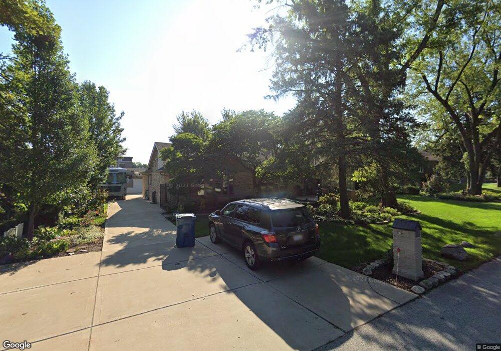
12313 S 73rd Ave Palos Heights, IL 60463
Ishnala NeighborhoodEstimated Value: $390,000 - $482,000
3
Beds
2
Baths
2,249
Sq Ft
$191/Sq Ft
Est. Value
About This Home
This home is located at 12313 S 73rd Ave, Palos Heights, IL 60463 and is currently estimated at $430,681, approximately $191 per square foot. 12313 S 73rd Ave is a home located in Cook County with nearby schools including Palos East Elementary School, Palos South Middle School, and Amos Alonzo Stagg High School.
Ownership History
Date
Name
Owned For
Owner Type
Purchase Details
Closed on
Feb 7, 2012
Sold by
Harrison David T and Harrison Susan A
Bought by
Harrison David and Harrison Susan
Current Estimated Value
Purchase Details
Closed on
Jun 13, 2011
Sold by
First Midwest Bank
Bought by
Harrison David T and Harrison Susan A
Purchase Details
Closed on
May 6, 1998
Sold by
Harrison David T and Harrison Susan A
Bought by
Palos Bank & Trust Company and Trust #1-4366
Create a Home Valuation Report for This Property
The Home Valuation Report is an in-depth analysis detailing your home's value as well as a comparison with similar homes in the area
Home Values in the Area
Average Home Value in this Area
Purchase History
| Date | Buyer | Sale Price | Title Company |
|---|---|---|---|
| Harrison David | -- | None Available | |
| Harrison David T | -- | None Available | |
| Palos Bank & Trust Company | -- | Lawyers Title Insurance Corp |
Source: Public Records
Tax History Compared to Growth
Tax History
| Year | Tax Paid | Tax Assessment Tax Assessment Total Assessment is a certain percentage of the fair market value that is determined by local assessors to be the total taxable value of land and additions on the property. | Land | Improvement |
|---|---|---|---|---|
| 2024 | $8,482 | $37,000 | $9,900 | $27,100 |
| 2023 | $6,843 | $37,000 | $9,900 | $27,100 |
| 2022 | $6,843 | $26,770 | $8,712 | $18,058 |
| 2021 | $6,468 | $26,770 | $8,712 | $18,058 |
| 2020 | $6,383 | $26,770 | $8,712 | $18,058 |
| 2019 | $6,355 | $27,982 | $7,920 | $20,062 |
| 2018 | $6,141 | $27,982 | $7,920 | $20,062 |
| 2017 | $5,877 | $27,982 | $7,920 | $20,062 |
| 2016 | $5,628 | $23,789 | $6,732 | $17,057 |
| 2015 | $5,463 | $23,789 | $6,732 | $17,057 |
| 2014 | $5,374 | $23,789 | $6,732 | $17,057 |
| 2013 | $5,718 | $26,635 | $6,732 | $19,903 |
Source: Public Records
Map
Nearby Homes
- 12332 S Richard Ave
- 12501 S 71st Ct
- 12022 S 72nd Ct
- 11950 S 73rd Ct
- 7660 W 124th Place
- 7309 W Palos Ave
- 11920 S 74th Ave
- 12646 S 69th Ct
- 7327 W College Dr
- 12815 S Seneca Rd
- 12718 S 69th Ct
- 12722 S 69th Ct
- 6839 W 127th St
- 6840 W Evergreen Ave
- 12900 S Seneca Rd
- 12626 S London Ln Unit 2
- 1 Moorings Dr
- 6711 W Shiawassie Dr
- 82 Parliament Dr W Unit 118
- 12753 S Oak Park Ave
- 12301 S 73rd Ave
- 12323 S 73rd Ave
- 12312 S 72nd Ct
- 12322 S 72nd Ct
- 12333 S 73rd Ave
- 12332 S 72nd Ct
- 12259 S 73rd Ave
- 12242 S 72nd Ct
- 12357 S 73rd Ave
- 12242 S 73rd Ave
- 12342 S 72nd Ct
- 12306 S Harlem Ave Unit 20
- 12306 S Harlem Ave Unit 206
- 12306 S Harlem Ave Unit 205
- 12306 S Harlem Ave Unit 201
- 12306 S Harlem Ave Unit 202
- 12306 S Harlem Ave Unit 204
- 12306 S Harlem Ave
- 12233 S 73rd Ave
- 12330 S Harlem Ave