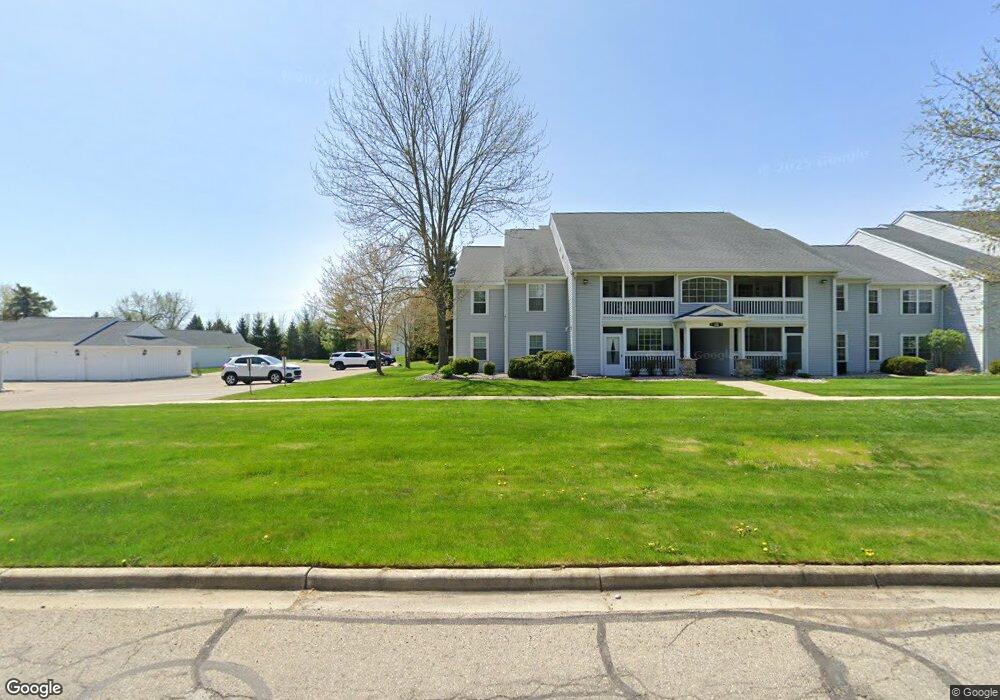
12314 Saint Andrews Way Unit 102 Fenton, MI 48430
Estimated Value: $180,000 - $202,000
2
Beds
2
Baths
1,251
Sq Ft
$155/Sq Ft
Est. Value
About This Home
This home is located at 12314 Saint Andrews Way Unit 102, Fenton, MI 48430 and is currently estimated at $193,536, approximately $154 per square foot. 12314 Saint Andrews Way Unit 102 is a home located in Genesee County with nearby schools including West Shore Elementary School, Torrey Hill Intermediate School, and Lake Fenton Middle School.
Ownership History
Date
Name
Owned For
Owner Type
Purchase Details
Closed on
Sep 23, 2021
Sold by
Monetta Alfred J and Voss Bruce D
Bought by
Monetta Alfred J and Voss Bruce D
Current Estimated Value
Purchase Details
Closed on
Jun 9, 2015
Sold by
Monetta Alfred J and Voss Bruce D
Bought by
Monetta Alfred J and Voss Bruce D
Purchase Details
Closed on
May 10, 2006
Sold by
Singh Michael S and Singh Michael
Bought by
Monetta Alfred J and Voss Bruce D
Purchase Details
Closed on
Aug 22, 2003
Sold by
Peppard Robert S and Peppard Leah R
Bought by
Singh Michael
Create a Home Valuation Report for This Property
The Home Valuation Report is an in-depth analysis detailing your home's value as well as a comparison with similar homes in the area
Home Values in the Area
Average Home Value in this Area
Purchase History
| Date | Buyer | Sale Price | Title Company |
|---|---|---|---|
| Monetta Alfred J | -- | None Available | |
| Monetta Alfred J | -- | Attorney | |
| Monetta Alfred J | $127,000 | Title Source Inc | |
| Singh Michael | $129,000 | Sargents Title Company |
Source: Public Records
Tax History Compared to Growth
Tax History
| Year | Tax Paid | Tax Assessment Tax Assessment Total Assessment is a certain percentage of the fair market value that is determined by local assessors to be the total taxable value of land and additions on the property. | Land | Improvement |
|---|---|---|---|---|
| 2025 | $1,298 | $92,400 | $0 | $0 |
| 2024 | $458 | $90,100 | $0 | $0 |
| 2023 | $405 | $81,600 | $0 | $0 |
| 2022 | $1,237 | $78,900 | $0 | $0 |
| 2021 | $1,221 | $73,500 | $0 | $0 |
| 2020 | $400 | $67,800 | $0 | $0 |
| 2019 | $394 | $62,100 | $0 | $0 |
| 2018 | $1,147 | $54,000 | $0 | $0 |
| 2017 | $1,105 | $51,100 | $0 | $0 |
| 2016 | $1,091 | $45,400 | $0 | $0 |
| 2015 | $1,039 | $34,700 | $0 | $0 |
| 2014 | $351 | $30,900 | $0 | $0 |
| 2012 | -- | $35,600 | $35,600 | $0 |
Source: Public Records
Map
Nearby Homes
- 12333 Saint Andrews Way Unit 86
- 12364 Saint Andrews Way Unit 66
- 13167 Harbor Landings Dr
- 13163 Harbor Landings Dr Unit 112
- 3129 Harbor Pointe Cir
- 3130 Harbor Pointe Cir Unit 64
- 3127 Harbor Pointe Cir
- 2410 Torrey Grove Ct Unit 12
- 13111 Harbor Landings Dr Unit 46
- 12147 Torrey Rd
- 2414 Cranewood Dr
- 12356 Jennings Rd
- VL Crane Crane Rd
- 2234 Toledo St
- 2361 Golden Shore Dr
- 2369 Golden Shores Dr
- 24 S Hill Dr
- 2509 Golden Shores Dr
- 11501 Torrey Rd
- 3302 Rolston Rd
- 12318 Saint Andrews Way Unit Bldg-Unit
- 12318 Saint Andrews Way Unit 104
- 12312 Saint Andrews Way Unit 101
- 12316 Saint Andrews Way Unit Bldg-Unit
- 12316 Saint Andrews Way Unit 103
- 12358 Saint Andrews Way
- 12346 Saint Andrews Way
- 12356 Saint Andrews Way Unit 77
- 12348 Saint Andrews Way Unit 80
- 12282 Saint Andrews Way Unit 105
- 12292 Saint Andrews Way
- 12354 Saint Andrews Way
- 12296 St Andrews Way
- 12296 St Andrews Way Unit 111
- 12296 St Andrews Way
- 12342 Saint Andrews Way Unit 75
- 12296 Saint Andrews Way Unit 111
- 12296 Saint Andrews Way Unit 132
- 12344 Saint Andrews Way Unit 76
- 12286 Saint Andrews Way Unit 107