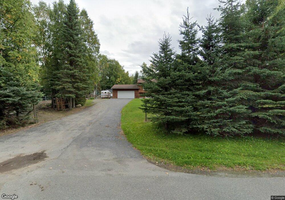
12315 Avion St Anchorage, AK 99516
Huffman-O'Malley NeighborhoodEstimated Value: $287,000 - $604,369
3
Beds
2
Baths
1,886
Sq Ft
$257/Sq Ft
Est. Value
About This Home
This home is located at 12315 Avion St, Anchorage, AK 99516 and is currently estimated at $484,790, approximately $257 per square foot. 12315 Avion St is a home located in Anchorage Municipality with nearby schools including Huffman Elementary School, Goldenview Middle School, and South Anchorage High School.
Ownership History
Date
Name
Owned For
Owner Type
Purchase Details
Closed on
Apr 30, 2006
Sold by
Collings Budd Lee and Collings Jerry Dale
Bought by
Chythlook Gary J and Brown Chythlook Denise M
Current Estimated Value
Home Financials for this Owner
Home Financials are based on the most recent Mortgage that was taken out on this home.
Original Mortgage
$333,427
Interest Rate
5.81%
Mortgage Type
FHA
Create a Home Valuation Report for This Property
The Home Valuation Report is an in-depth analysis detailing your home's value as well as a comparison with similar homes in the area
Home Values in the Area
Average Home Value in this Area
Purchase History
| Date | Buyer | Sale Price | Title Company |
|---|---|---|---|
| Chythlook Gary J | -- | None Available |
Source: Public Records
Mortgage History
| Date | Status | Borrower | Loan Amount |
|---|---|---|---|
| Closed | Chythlook Gary J | $333,427 |
Source: Public Records
Tax History Compared to Growth
Tax History
| Year | Tax Paid | Tax Assessment Tax Assessment Total Assessment is a certain percentage of the fair market value that is determined by local assessors to be the total taxable value of land and additions on the property. | Land | Improvement |
|---|---|---|---|---|
| 2025 | $6,240 | $515,600 | $186,000 | $329,600 |
| 2024 | $6,240 | $461,500 | $175,700 | $285,800 |
| 2023 | $7,350 | $431,600 | $168,300 | $263,300 |
| 2022 | $6,232 | $420,100 | $168,200 | $251,900 |
| 2021 | $7,318 | $406,100 | $168,200 | $237,900 |
| 2020 | $5,942 | $399,800 | $168,200 | $231,600 |
| 2019 | $5,659 | $395,900 | $168,200 | $227,700 |
| 2018 | $5,448 | $382,200 | $174,500 | $207,700 |
| 2017 | $5,564 | $375,300 | $167,300 | $208,000 |
| 2016 | $5,096 | $377,800 | $167,300 | $210,500 |
| 2015 | $5,096 | $377,100 | $162,600 | $214,500 |
| 2014 | $5,096 | $361,800 | $147,000 | $214,800 |
Source: Public Records
Map
Nearby Homes
- 12101 Wagner St
- 000 Wagner St
- 3025 Huffman Rd
- 12241 Gander St
- 3641 E Klatt Rd
- 12283 Timberwood Cir
- 3040 Chesapeake Cir
- 2521 Winterchase Cir
- 4530 Snowcup Cir
- 2701 Kempton Hills Dr
- 2735 Meadow Wood Cir
- 11335 Tulin Park Loop
- NHN Elmore #1 L12 B6
- 11359 Tulin Park Loop
- 13481 Baywind Dr
- 3833 Eastwind Dr
- 13470 Baywind Cir
- L16 Sky Ridge Dr
- 5026 Heritage Heights Dr
- 2640 E 112th Ave
- 3701 Huffman Rd
- 12241 Avion St
- L3 B1 Gregory
- 3535 Huffman Rd
- 12300 Avion St
- 12221 Avion St
- 12401 Furrow Creek Rd
- 3650 Huffman Rd
- 3501 Huffman Rd
- 12320 Jerome St
- 12240 Jerome St
- 12201 Avion St
- 12420 Furrow Creek Rd
- 3700 Huffman Rd
- 12200 Avion St
- 12200 Jerome St
- 3500 Huffman Rd
- 3750 Huffman Rd
- 12501 Furrow Creek Rd
- 3651 Mcmahon Ave