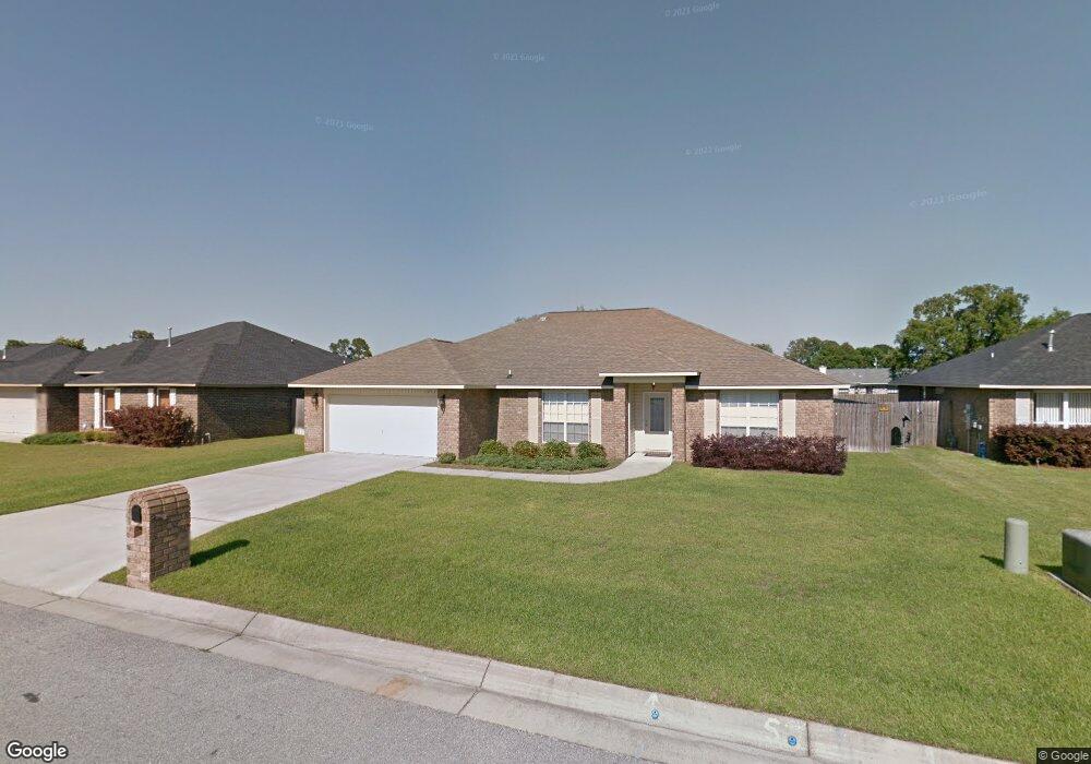
1232 Benning Place Pensacola, FL 32506
Southwest Pensacola NeighborhoodEstimated Value: $330,732 - $428,000
4
Beds
2
Baths
2,000
Sq Ft
$180/Sq Ft
Est. Value
About This Home
This home is located at 1232 Benning Place, Pensacola, FL 32506 and is currently estimated at $359,433, approximately $179 per square foot. 1232 Benning Place is a home located in Escambia County with nearby schools including Blue Angels Elementary School, Jim C. Bailey Middle School, and Escambia High School.
Ownership History
Date
Name
Owned For
Owner Type
Purchase Details
Closed on
Oct 14, 2010
Sold by
Southern Home & Construction Inc
Bought by
Kopelakis John W and Kopelakis Kristine L
Current Estimated Value
Home Financials for this Owner
Home Financials are based on the most recent Mortgage that was taken out on this home.
Original Mortgage
$193,171
Outstanding Balance
$127,537
Interest Rate
4.36%
Mortgage Type
VA
Estimated Equity
$231,896
Create a Home Valuation Report for This Property
The Home Valuation Report is an in-depth analysis detailing your home's value as well as a comparison with similar homes in the area
Home Values in the Area
Average Home Value in this Area
Purchase History
| Date | Buyer | Sale Price | Title Company |
|---|---|---|---|
| Kopelakis John W | $187,000 | Gulf Coast Title Partners Ll |
Source: Public Records
Mortgage History
| Date | Status | Borrower | Loan Amount |
|---|---|---|---|
| Open | Kopelakis John W | $193,171 |
Source: Public Records
Tax History Compared to Growth
Tax History
| Year | Tax Paid | Tax Assessment Tax Assessment Total Assessment is a certain percentage of the fair market value that is determined by local assessors to be the total taxable value of land and additions on the property. | Land | Improvement |
|---|---|---|---|---|
| 2024 | $1,608 | $277,591 | $45,000 | $232,591 |
| 2023 | $1,608 | $146,144 | $0 | $0 |
| 2022 | $1,570 | $141,888 | $0 | $0 |
| 2021 | $1,559 | $137,756 | $0 | $0 |
| 2020 | $1,513 | $135,855 | $0 | $0 |
| 2019 | $1,482 | $132,801 | $0 | $0 |
| 2018 | $1,478 | $130,325 | $0 | $0 |
| 2017 | $1,472 | $127,645 | $0 | $0 |
| 2016 | $1,453 | $125,020 | $0 | $0 |
| 2015 | $1,437 | $124,151 | $0 | $0 |
| 2014 | $1,428 | $123,166 | $0 | $0 |
Source: Public Records
Map
Nearby Homes
- 10703 Brook Bend Rd
- 11605 Aruba Dr
- 10703 Brook Bend Cir
- 11663 Aruba Dr
- 1203 Brook Bend Rd
- 11388 Aruba Dr
- 9049 Bluebay Ln
- 10860 Silver Creek Dr
- 10104 Clearsound Dr
- 9013 Bluebay Ln
- 730 Hanna's Terrace
- 7934 Castle Pointe Way
- 7985 Otis Way
- 7934 Castle Pt Way
- 10663 Silver Creek Dr
- 4007 Lochmoor Dr
- 5012 Cassia Dr
- 10689 Trailblazer Way
- 1027 Dog Track Rd
- 1345 Heatherwood Cir
- 0 Benning Place
- 1228 Benning Place
- 1236 Benning Place
- 11209 Bridge Creek Dr
- 11205 Bridge Creek Dr
- 1240 Benning Place
- 1224 Benning Place
- 11213 Bridge Creek Dr
- 1227 Benning Place
- 11201 Bridge Creek Dr
- 1223 Benning Place
- 0 Benning Place Unit 602028
- 1220 Benning Place
- 11217 Bridge Creek Dr
- 11155 Bridge Creek Dr
- 11355 Bagley Ct
- 11354 Bagley Ct
- 1243 Benning Place
- 1219 Benning Place
- 11221 Bridge Creek Dr