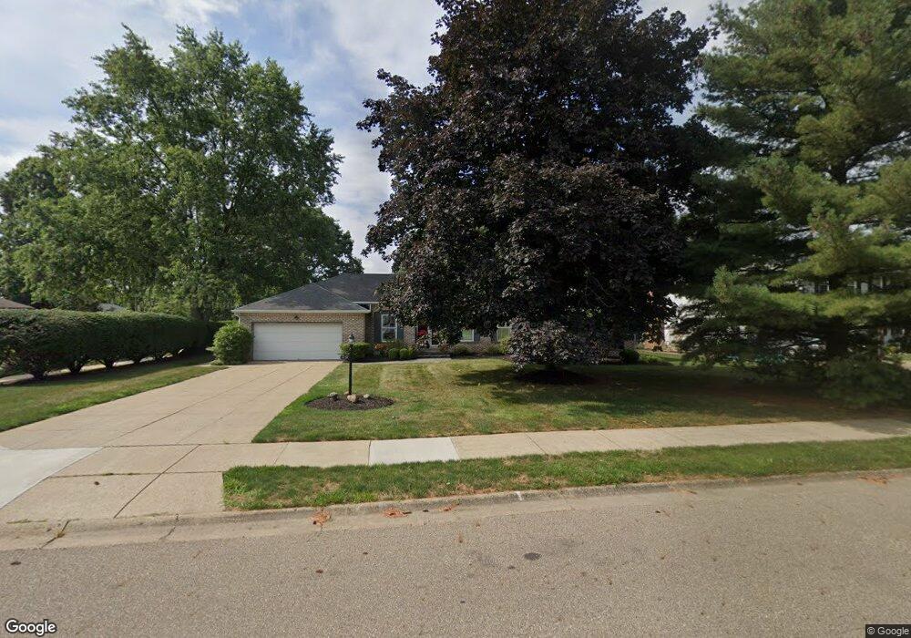
1232 Carol St NE North Canton, OH 44720
Estimated Value: $267,000 - $343,000
3
Beds
2
Baths
2,360
Sq Ft
$131/Sq Ft
Est. Value
About This Home
This home is located at 1232 Carol St NE, North Canton, OH 44720 and is currently estimated at $307,988, approximately $130 per square foot. 1232 Carol St NE is a home located in Stark County with nearby schools including North Canton Middle School, Hoover High School, and St Paul School.
Ownership History
Date
Name
Owned For
Owner Type
Purchase Details
Closed on
Dec 14, 2007
Sold by
Walther Amy Lynn and Walther Amy
Bought by
Walther Amy Lynn and The Amy Lynn Walther Revocable Trust
Current Estimated Value
Purchase Details
Closed on
Mar 30, 2005
Sold by
Cheney George E and Cheney Mary A
Bought by
Walther Carl H and Walther Amy
Purchase Details
Closed on
Oct 26, 1992
Create a Home Valuation Report for This Property
The Home Valuation Report is an in-depth analysis detailing your home's value as well as a comparison with similar homes in the area
Home Values in the Area
Average Home Value in this Area
Purchase History
| Date | Buyer | Sale Price | Title Company |
|---|---|---|---|
| Walther Amy Lynn | -- | Attorney | |
| Walther Carl H | $155,000 | Quest Title Agency Inc | |
| -- | -- | -- |
Source: Public Records
Tax History Compared to Growth
Tax History
| Year | Tax Paid | Tax Assessment Tax Assessment Total Assessment is a certain percentage of the fair market value that is determined by local assessors to be the total taxable value of land and additions on the property. | Land | Improvement |
|---|---|---|---|---|
| 2025 | -- | $90,240 | $21,390 | $68,850 |
| 2024 | -- | $90,240 | $21,390 | $68,850 |
| 2023 | $4,019 | $75,150 | $20,900 | $54,250 |
| 2022 | $3,861 | $75,150 | $20,900 | $54,250 |
| 2021 | $3,724 | $75,150 | $20,900 | $54,250 |
| 2020 | $3,517 | $63,740 | $18,170 | $45,570 |
| 2019 | $3,283 | $63,740 | $18,170 | $45,570 |
| 2018 | $3,404 | $63,740 | $18,170 | $45,570 |
| 2017 | $2,788 | $54,820 | $15,790 | $39,030 |
| 2016 | $2,799 | $54,820 | $15,790 | $39,030 |
| 2015 | $2,809 | $54,820 | $15,790 | $39,030 |
| 2014 | $1,027 | $55,160 | $15,890 | $39,270 |
| 2013 | $1,518 | $55,160 | $15,890 | $39,270 |
Source: Public Records
Map
Nearby Homes
- 221 Briar Ave NE
- 0 Marquardt Ave
- 1240 7th St NE
- 0 Marquardt Dr NW
- 360 Woodside Ave NE
- 701 Edgewood St SE
- 825 6th St NE
- 634 Edgewood St SE
- 1415 Red Coach St SE
- 448 Hower St NE
- 1020 Pickforde Dr NE
- 870 Honeysuckle Cir NE
- 406 Hower St NE
- 1402 Schneider St NW
- 714 Pershing Ave SE
- 945 Royal Oak Ave NE
- 1118 Overridge Ave SE
- 1126 Overridge Ave SE
- 505 Rose Lane St SE
- 723 Jennifer Dr NW
- 1224 Carol St NE
- 1216 Carol St NE
- 1231 Carol St NE
- 1223 Carol St NE
- 180 Creekside Cir NE
- 150 Marquardt Ave NE
- 1215 Carol St NE
- 1202 Carol St NE
- 233 Marquardt Ave NE
- 130 Marquardt Ave NE
- 1205 Carol St NE
- 202 Eastbury Ave NE
- 185 Creekside Cir NE
- 236 Eastbury Ave NE
- 155 Marquardt Ave NE
- 243 Marquardt Ave NE
- 120 Marquardt Ave NE
- 184 Creekside Cir NE
- 148 Eastbury Ave NE
- 244 Eastbury Ave NE