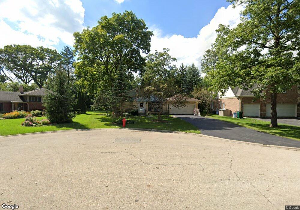
1232 Daryl Ln Unit 2 Northbrook, IL 60062
Estimated Value: $598,000 - $730,000
4
Beds
2
Baths
1,300
Sq Ft
$529/Sq Ft
Est. Value
About This Home
This home is located at 1232 Daryl Ln Unit 2, Northbrook, IL 60062 and is currently estimated at $688,069, approximately $529 per square foot. 1232 Daryl Ln Unit 2 is a home located in Cook County with nearby schools including Meadowbrook Elementary School, Northbrook Junior High School, and Glenbrook North High School.
Ownership History
Date
Name
Owned For
Owner Type
Purchase Details
Closed on
Sep 16, 2011
Sold by
Mccune Vera E
Bought by
Walker Matt and Walker Lauren
Current Estimated Value
Home Financials for this Owner
Home Financials are based on the most recent Mortgage that was taken out on this home.
Original Mortgage
$308,000
Outstanding Balance
$211,520
Interest Rate
4.32%
Mortgage Type
New Conventional
Estimated Equity
$476,549
Purchase Details
Closed on
Jan 27, 2003
Sold by
Mccune Joseph M and Mccune Vera E
Bought by
Mccune Joseph M and Mccune Vera E
Create a Home Valuation Report for This Property
The Home Valuation Report is an in-depth analysis detailing your home's value as well as a comparison with similar homes in the area
Home Values in the Area
Average Home Value in this Area
Purchase History
| Date | Buyer | Sale Price | Title Company |
|---|---|---|---|
| Walker Matt | $385,000 | Fort Dearborn Land Title Llc | |
| Mccune Joseph M | -- | -- |
Source: Public Records
Mortgage History
| Date | Status | Borrower | Loan Amount |
|---|---|---|---|
| Open | Walker Matt | $308,000 |
Source: Public Records
Tax History Compared to Growth
Tax History
| Year | Tax Paid | Tax Assessment Tax Assessment Total Assessment is a certain percentage of the fair market value that is determined by local assessors to be the total taxable value of land and additions on the property. | Land | Improvement |
|---|---|---|---|---|
| 2024 | $12,513 | $58,000 | $12,962 | $45,038 |
| 2023 | $12,113 | $58,000 | $12,962 | $45,038 |
| 2022 | $12,113 | $58,000 | $12,962 | $45,038 |
| 2021 | $9,061 | $39,537 | $10,469 | $29,068 |
| 2020 | $8,934 | $39,537 | $10,469 | $29,068 |
| 2019 | $8,670 | $43,448 | $10,469 | $32,979 |
| 2018 | $8,024 | $37,649 | $9,223 | $28,426 |
| 2017 | $7,831 | $37,649 | $9,223 | $28,426 |
| 2016 | $7,555 | $37,649 | $9,223 | $28,426 |
| 2015 | $7,684 | $35,003 | $7,727 | $27,276 |
| 2014 | $7,350 | $35,003 | $7,727 | $27,276 |
| 2013 | $7,110 | $35,003 | $7,727 | $27,276 |
Source: Public Records
Map
Nearby Homes
- 1423 Woodhill Dr
- 1219 Ridgewood Dr
- 1135 Buttonwood Ln
- 1425 Lee Rd
- 1302 Waukegan Rd
- 1066 Shermer Rd Unit 43
- 1179 Shermer Rd
- 1181 Shermer Rd
- 34 Bridlewood Rd
- 1758 Chapel Ct
- 1430 Voltz Rd
- 1712 Maple Ave
- 1721 Elm Ave
- 24 Bridlewood Rd
- 1043 Whitfield Rd Unit 2
- 1922 Lincoln Ave
- 535 Fairway Ln
- 1132 Whitfield Rd
- 1455 Shermer Rd Unit 208C
- 2022 Center Ave