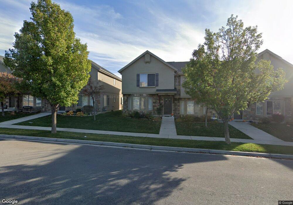
1232 E 800 N Unit 46 Spanish Fork, UT 84660
Estimated Value: $333,512 - $385,000
3
Beds
3
Baths
1,374
Sq Ft
$255/Sq Ft
Est. Value
About This Home
This home is located at 1232 E 800 N Unit 46, Spanish Fork, UT 84660 and is currently estimated at $350,378, approximately $255 per square foot. 1232 E 800 N Unit 46 is a home located in Utah County with nearby schools including Rees Elementary School, Mapleton Junior High School, and Maple Mountain High School.
Ownership History
Date
Name
Owned For
Owner Type
Purchase Details
Closed on
Nov 12, 2013
Sold by
Terry Nathan and Terry Kimberly
Bought by
Cornelius Tena
Current Estimated Value
Purchase Details
Closed on
Sep 29, 2004
Sold by
Blackhorse Run Llc
Bought by
Terry Nathan and Terry Kimberly
Home Financials for this Owner
Home Financials are based on the most recent Mortgage that was taken out on this home.
Original Mortgage
$119,130
Interest Rate
5.76%
Mortgage Type
FHA
Create a Home Valuation Report for This Property
The Home Valuation Report is an in-depth analysis detailing your home's value as well as a comparison with similar homes in the area
Home Values in the Area
Average Home Value in this Area
Purchase History
| Date | Buyer | Sale Price | Title Company |
|---|---|---|---|
| Cornelius Tena | -- | First American Title Co Llc | |
| Terry Nathan | -- | Mountain West Title Company |
Source: Public Records
Mortgage History
| Date | Status | Borrower | Loan Amount |
|---|---|---|---|
| Previous Owner | Terry Nathan | $119,130 |
Source: Public Records
Tax History
| Year | Tax Paid | Tax Assessment Tax Assessment Total Assessment is a certain percentage of the fair market value that is determined by local assessors to be the total taxable value of land and additions on the property. | Land | Improvement |
|---|---|---|---|---|
| 2025 | $1,735 | $180,290 | -- | -- |
| 2024 | $1,735 | $178,805 | $0 | $0 |
| 2023 | $1,689 | $174,240 | $0 | $0 |
| 2022 | $1,703 | $172,315 | $0 | $0 |
| 2021 | $1,455 | $235,600 | $35,300 | $200,300 |
| 2020 | $1,365 | $214,900 | $32,200 | $182,700 |
| 2019 | $1,268 | $210,000 | $27,300 | $182,700 |
| 2018 | $1,137 | $182,000 | $23,000 | $159,000 |
| 2017 | $1,055 | $90,750 | $0 | $0 |
| 2016 | $946 | $80,300 | $0 | $0 |
| 2015 | $898 | $75,350 | $0 | $0 |
| 2014 | $882 | $74,250 | $0 | $0 |
Source: Public Records
Map
Nearby Homes
- 755 Black Horse Dr
- 708 N Black Horse Loop Unit 708
- 686 N Black Horse Loop
- 822 N 1120 E
- 1261 E 680 N
- 902 N 1120 E
- 1238 E 680 N
- 1050 E 800 N Unit 1
- 1050 E 800 N Unit 5
- 1074 E 660 N
- 453 N 1210 E
- 1495 E 400 N
- 1025 E 360 N Unit 5
- 1022 E 360 N Unit 27
- 991 E 360 N Unit 8
- 314 N 1070 E
- 998 E 260 N Unit 16
- 992 E 260 N Unit 15
- 1005 E 260 N Unit 20
- 284 N 1000 E
- 1232 E 800 N
- 1228 E 800 N
- 1228 E 800 N
- 1228 E 800 N Unit 47
- 1236 E 800 N
- 1236 E 800 N Unit 45
- 1224 E 800 N
- 1224 E 800 N Unit 48
- 1242 E 800 N
- 1222 E 800 N
- 1222 E 800 N Unit 49
- 1244 E 800 N
- 1216 E 800 N
- 1216 E 800 N Unit 50
- 1248 E 800 N
- 1212 E 800 N
- 1212 E 800 N Unit 51
- 1213 E Black Horse Loop Unit 25
- 1248 E Black Horse Loop Unit 42
- 1252 E 800 N Unit 41
Your Personal Tour Guide
Ask me questions while you tour the home.