1232 Fannie Dorsey Rd Sykesville, MD 21784
Estimated Value: $238,000 - $511,000
--
Bed
3
Baths
1,250
Sq Ft
$337/Sq Ft
Est. Value
About This Home
This home is located at 1232 Fannie Dorsey Rd, Sykesville, MD 21784 and is currently estimated at $421,586, approximately $337 per square foot. 1232 Fannie Dorsey Rd is a home located in Carroll County with nearby schools including Linton Springs Elementary School, Sykesville Middle School, and Century High School.
Ownership History
Date
Name
Owned For
Owner Type
Purchase Details
Closed on
Nov 13, 2024
Sold by
Perry James Louis and Mullinix Deborah Darlene
Bought by
Perry Christopher L and Perry Kassie M
Current Estimated Value
Home Financials for this Owner
Home Financials are based on the most recent Mortgage that was taken out on this home.
Original Mortgage
$164,000
Outstanding Balance
$162,428
Interest Rate
6.32%
Mortgage Type
New Conventional
Estimated Equity
$259,158
Purchase Details
Closed on
Oct 9, 2024
Sold by
Perry Ruth Irene
Bought by
Perry James Louis and Mullinix Deborah Darlene
Home Financials for this Owner
Home Financials are based on the most recent Mortgage that was taken out on this home.
Original Mortgage
$164,000
Outstanding Balance
$162,428
Interest Rate
6.32%
Mortgage Type
New Conventional
Estimated Equity
$259,158
Create a Home Valuation Report for This Property
The Home Valuation Report is an in-depth analysis detailing your home's value as well as a comparison with similar homes in the area
Home Values in the Area
Average Home Value in this Area
Purchase History
| Date | Buyer | Sale Price | Title Company |
|---|---|---|---|
| Perry Christopher L | $230,000 | Blue Ridge Title | |
| Perry Christopher L | $230,000 | Blue Ridge Title | |
| Perry James Louis | -- | None Listed On Document |
Source: Public Records
Mortgage History
| Date | Status | Borrower | Loan Amount |
|---|---|---|---|
| Open | Perry Christopher L | $164,000 | |
| Closed | Perry Christopher L | $164,000 |
Source: Public Records
Tax History Compared to Growth
Tax History
| Year | Tax Paid | Tax Assessment Tax Assessment Total Assessment is a certain percentage of the fair market value that is determined by local assessors to be the total taxable value of land and additions on the property. | Land | Improvement |
|---|---|---|---|---|
| 2025 | $4,347 | $413,067 | $0 | $0 |
| 2024 | $4,347 | $390,300 | $180,000 | $210,300 |
| 2023 | $4,141 | $370,200 | $0 | $0 |
| 2022 | $3,944 | $350,100 | $0 | $0 |
| 2021 | $7,698 | $330,000 | $140,000 | $190,000 |
| 2020 | $3,743 | $328,867 | $0 | $0 |
| 2019 | $3,763 | $327,733 | $0 | $0 |
| 2018 | $3,717 | $326,600 | $140,000 | $186,600 |
| 2017 | $3,671 | $322,467 | $0 | $0 |
| 2016 | -- | $318,333 | $0 | $0 |
| 2015 | -- | $314,200 | $0 | $0 |
| 2014 | -- | $314,200 | $0 | $0 |
Source: Public Records
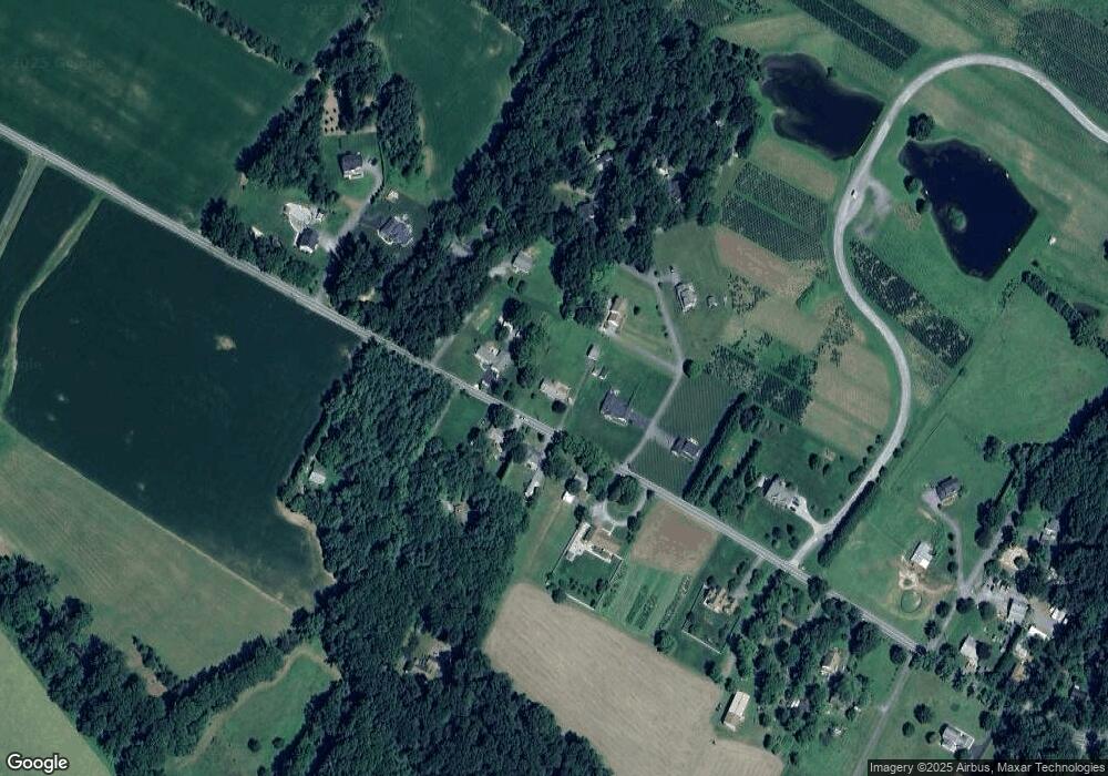
Map
Nearby Homes
- 1525 Fannie Dorsey Rd
- 1103 Cape Ct
- 608 Angus Dr
- 7206 Patton Dr
- 6912 Stratford Dr
- 7330 Woodbine Rd
- 5530 Jim Pickett Rd
- 6751 White Rock Rd
- 7326 John Pickett Rd
- 6119 Davis Rd
- 42 Liberty Rd Unit C
- 42 Liberty Rd Unit D
- 7131 Carmae Rd
- 224 Old Liberty Rd
- 0 Cabbage Spring Rd
- 7460 Porter Dr
- 7152 Harlan Ln
- 970 Oak Tree Rd
- 16365 Camalo Dr
- 707 Old Liberty Rd
- 6290 Janes Dr
- 1236 Fannie Dorsey Rd
- 6280 Janes Dr
- 1231 Fannie Dorsey Rd
- 1235 Fannie Dorsey Rd
- 1225 Fannie Dorsey Rd
- 1240 Fannie Dorsey Rd
- 6291 Janes Dr
- 6271 Janes Dr
- 6270 Janes Dr
- 1258 Fannie Dorsey Rd
- 1227 Fannie Dorsey Rd
- 1251 Fannie Dorsey Rd
- 6260 Janes Dr
- 6220 Grey Fox Dr
- 6261 Janes Dr
- 1259 Fannie Dorsey Rd
- 1209 Fannie Dorsey Rd
- Lot 3 Grey Fox
- Lot 3 Grey Fox