Estimated Value: $372,000 - $512,415
3
Beds
2
Baths
1,957
Sq Ft
$224/Sq Ft
Est. Value
About This Home
This home is located at 1232 Florence Dr, Azle, TX 76020 and is currently estimated at $439,104, approximately $224 per square foot. 1232 Florence Dr is a home located in Tarrant County with nearby schools including Azle Elementary School, Azle Junior High School, and Azle High School.
Ownership History
Date
Name
Owned For
Owner Type
Purchase Details
Closed on
Nov 28, 1994
Sold by
Davenport Billy Joe
Bought by
Clark David Christopher and Clark Teresa Ann
Current Estimated Value
Home Financials for this Owner
Home Financials are based on the most recent Mortgage that was taken out on this home.
Original Mortgage
$134,900
Interest Rate
8.8%
Purchase Details
Closed on
Jul 18, 1994
Sold by
Davenport Vicki M
Bought by
Davenport Bill Joe
Purchase Details
Closed on
May 24, 1990
Sold by
Christian David and Christian Celinda
Bought by
Davenport Bill and Davenport Vicki
Create a Home Valuation Report for This Property
The Home Valuation Report is an in-depth analysis detailing your home's value as well as a comparison with similar homes in the area
Home Values in the Area
Average Home Value in this Area
Purchase History
| Date | Buyer | Sale Price | Title Company |
|---|---|---|---|
| Clark David Christopher | -- | American Title Company | |
| Davenport Bill Joe | -- | American Title Company | |
| Davenport Bill | -- | American Title Company |
Source: Public Records
Mortgage History
| Date | Status | Borrower | Loan Amount |
|---|---|---|---|
| Closed | Clark David Christopher | $134,900 |
Source: Public Records
Tax History Compared to Growth
Tax History
| Year | Tax Paid | Tax Assessment Tax Assessment Total Assessment is a certain percentage of the fair market value that is determined by local assessors to be the total taxable value of land and additions on the property. | Land | Improvement |
|---|---|---|---|---|
| 2025 | $5,890 | $442,474 | $127,500 | $314,974 |
| 2024 | $5,890 | $442,474 | $127,500 | $314,974 |
| 2023 | $6,902 | $460,892 | $127,500 | $333,392 |
| 2022 | $7,332 | $395,944 | $87,500 | $308,444 |
| 2021 | $6,840 | $356,629 | $87,500 | $269,129 |
| 2020 | $6,610 | $344,631 | $110,000 | $234,631 |
| 2019 | $7,066 | $429,473 | $110,000 | $319,473 |
| 2018 | $6,092 | $320,229 | $110,000 | $210,229 |
| 2017 | $5,559 | $344,674 | $110,000 | $234,674 |
| 2016 | $5,054 | $264,652 | $110,100 | $154,552 |
| 2015 | $4,867 | $262,300 | $52,000 | $210,300 |
| 2014 | $4,867 | $262,300 | $52,000 | $210,300 |
Source: Public Records
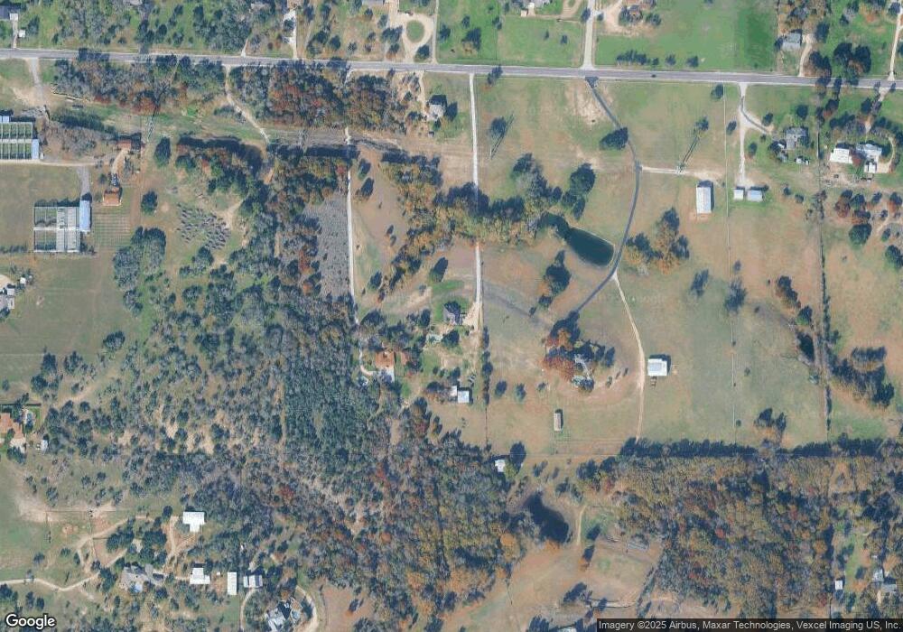
Map
Nearby Homes
- 13041 Stacey Valley Dr
- 6942 Silver Creek Azle Rd
- 1508 Red Oak Cir
- 1922 Walter Smith Rd
- 1917 Walter Smith Rd
- 1933 Walter Smith Rd
- 2960 Flat Rock Rd
- 1907 Live Oak Cir
- 1617 Florence Dr
- 1716 Southeast Pkwy
- 2016 Adams Ln S
- 1320 Craft Farms Cir
- 11609 Hardwood Ct
- 428 Wilshire Ave
- 432 Wilshire Ave
- 7442 Cottonwood Creek Rd
- 5944 Tenderfoot Trail
- 120 Timberlake Dr
- 255 Chaparrals Run
- 112 Ty Ln
- 1208 Florence Dr
- 1228 Florence Dr
- 1300 Florence Dr
- 1300 Florence Dr
- 1312 Florence Dr
- 1213 Florence Dr
- 1816 Rider Rd
- 1209 Florence Dr
- 1205 Florence Dr
- 8013 Charlene Dr
- 7312 Charlene Ct
- 1817 Rider Rd
- 1203 Florence Dr
- 1229 Florence Dr
- TBD Florence Dr
- 7220 Charlene Ct
- 1320 Florence Dr
- 7294 Silver Creek Azle Rd
- 8001 Charlene Dr
- 1809 Rider Rd