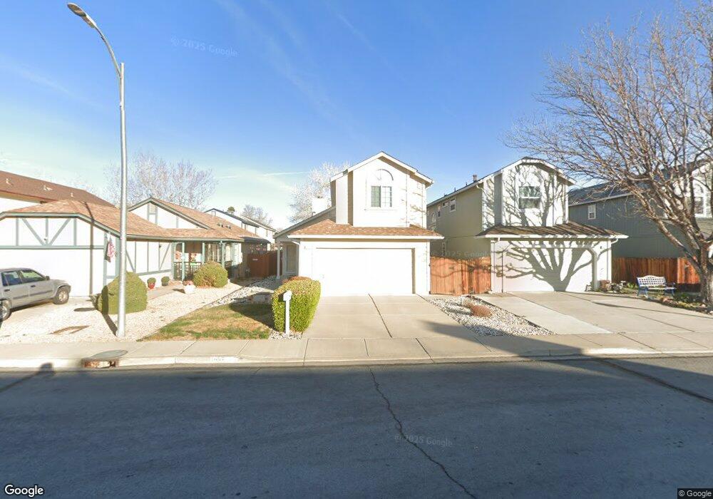
1232 Kent Dr Sparks, NV 89434
O'Callaghan NeighborhoodEstimated Value: $449,000 - $489,000
3
Beds
3
Baths
1,490
Sq Ft
$312/Sq Ft
Est. Value
About This Home
This home is located at 1232 Kent Dr, Sparks, NV 89434 and is currently estimated at $465,607, approximately $312 per square foot. 1232 Kent Dr is a home located in Washoe County with nearby schools including Katherine Dunn Elementary School, George L Dilworth Middle School, and Edward C Reed High School.
Ownership History
Date
Name
Owned For
Owner Type
Purchase Details
Closed on
Feb 24, 1994
Sold by
Girola Mark Kenneth and Girola Radene Roberts
Bought by
Stewart Thomas M and Stewart Gayle P
Current Estimated Value
Create a Home Valuation Report for This Property
The Home Valuation Report is an in-depth analysis detailing your home's value as well as a comparison with similar homes in the area
Home Values in the Area
Average Home Value in this Area
Purchase History
| Date | Buyer | Sale Price | Title Company |
|---|---|---|---|
| Stewart Thomas M | $123,000 | First Centennial Title Co |
Source: Public Records
Tax History Compared to Growth
Tax History
| Year | Tax Paid | Tax Assessment Tax Assessment Total Assessment is a certain percentage of the fair market value that is determined by local assessors to be the total taxable value of land and additions on the property. | Land | Improvement |
|---|---|---|---|---|
| 2025 | $1,865 | $76,742 | $32,851 | $43,891 |
| 2024 | $1,865 | $75,755 | $31,089 | $44,666 |
| 2023 | $1,354 | $73,332 | $30,690 | $42,642 |
| 2022 | $1,759 | $60,451 | $24,705 | $35,746 |
| 2021 | $1,708 | $54,681 | $18,853 | $35,828 |
| 2020 | $1,656 | $54,925 | $18,786 | $36,139 |
| 2019 | $1,608 | $53,262 | $17,988 | $35,274 |
| 2018 | $1,562 | $48,042 | $13,267 | $34,775 |
| 2017 | $1,491 | $45,908 | $12,037 | $33,871 |
| 2016 | $1,454 | $45,517 | $10,840 | $34,677 |
| 2015 | $367 | $44,243 | $9,144 | $35,099 |
| 2014 | $1,401 | $41,506 | $7,814 | $33,692 |
| 2013 | -- | $37,480 | $5,786 | $31,694 |
Source: Public Records
Map
Nearby Homes
- 2511 Sycamore Glen Dr Unit 4
- 2475 Sycamore Glen Dr Unit 1
- 2311 Sycamore Glen Dr Unit 4
- 2435 Sycamore Glen Dr Unit A
- 2407 Sunny Slope Dr Unit 1
- 1821 Fargo Way
- 1728 Bluehaven Dr
- 1161 Jason Dr
- 1687 Noreen Dr
- 2629 Sunny Slope Dr Unit 3
- 1298 Highgate Ct
- 1544 Woodhaven Ln
- 1051 Jason Dr
- 1428 Del Rosa Way
- 2138 Rizzo Dr
- 1044 Glen Martin Dr
- 1973 Rio Tinto Dr
- 1095 E York Way
- 1332 Coachman Ct
- 2154 La Hacienda Dr
- 1236 Kent Dr
- 1226 Kent Dr
- 1242 Kent Dr
- 1222 Kent Dr
- 2176 Morninglory Dr
- 2175 Rockdale Dr
- 2186 Morninglory Dr
- 2185 Rockdale Dr
- 2076 Haywood Dr
- 2096 Rockdale Dr
- 2196 Morninglory Dr
- 2075 Haywood Dr
- 2195 Rockdale Dr
- 2066 Haywood Dr
- 2065 Haywood Dr
- 2206 Morninglory Dr
- 2155 Morninglory Dr
- 2146 Rockdale Dr
- 2165 Morninglory Dr
- 2156 Rockdale Dr