1232 McAllistar Dr Unit 1 Locust Grove, GA 30248
Estimated Value: $431,472 - $461,000
4
Beds
3
Baths
2,938
Sq Ft
$152/Sq Ft
Est. Value
About This Home
This home is located at 1232 McAllistar Dr Unit 1, Locust Grove, GA 30248 and is currently estimated at $447,618, approximately $152 per square foot. 1232 McAllistar Dr Unit 1 is a home located in Henry County with nearby schools including Bethlehem Elementary School, Luella Middle School, and Luella High School.
Ownership History
Date
Name
Owned For
Owner Type
Purchase Details
Closed on
Apr 21, 2005
Sold by
Keefer Raymond E
Bought by
Keefer Raymond E and Keefer Bethany
Current Estimated Value
Purchase Details
Closed on
Oct 23, 2003
Sold by
Johnson Homes Inc
Bought by
Keefer Raymond E
Home Financials for this Owner
Home Financials are based on the most recent Mortgage that was taken out on this home.
Original Mortgage
$265,420
Interest Rate
6.25%
Mortgage Type
New Conventional
Create a Home Valuation Report for This Property
The Home Valuation Report is an in-depth analysis detailing your home's value as well as a comparison with similar homes in the area
Home Values in the Area
Average Home Value in this Area
Purchase History
| Date | Buyer | Sale Price | Title Company |
|---|---|---|---|
| Keefer Raymond E | -- | -- | |
| Keefer Raymond E | $265,500 | -- |
Source: Public Records
Mortgage History
| Date | Status | Borrower | Loan Amount |
|---|---|---|---|
| Previous Owner | Keefer Raymond E | $265,420 |
Source: Public Records
Tax History Compared to Growth
Tax History
| Year | Tax Paid | Tax Assessment Tax Assessment Total Assessment is a certain percentage of the fair market value that is determined by local assessors to be the total taxable value of land and additions on the property. | Land | Improvement |
|---|---|---|---|---|
| 2025 | $6,765 | $169,360 | $24,000 | $145,360 |
| 2024 | $6,765 | $161,120 | $24,000 | $137,120 |
| 2023 | $6,243 | $160,920 | $24,000 | $136,920 |
| 2022 | $5,443 | $140,080 | $20,000 | $120,080 |
| 2021 | $4,688 | $120,400 | $20,000 | $100,400 |
| 2020 | $4,392 | $112,680 | $16,000 | $96,680 |
| 2019 | $4,181 | $107,160 | $16,000 | $91,160 |
| 2018 | $4,079 | $104,520 | $16,000 | $88,520 |
| 2016 | $3,656 | $93,480 | $18,000 | $75,480 |
| 2015 | $3,473 | $86,040 | $14,000 | $72,040 |
| 2014 | $3,174 | $77,560 | $14,000 | $63,560 |
Source: Public Records
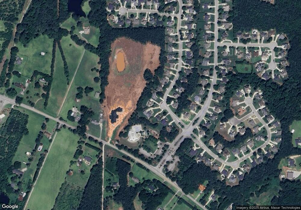
Map
Nearby Homes
- 1020 Eagles Brooke Dr
- 1509 Royce Dr
- 1258 McAllistar Dr
- 1276 McAllistar Dr
- 1405 Landon Dr
- 1615 Avery Dr
- Meridian II Plan at Kingston
- Wagener Plan at Kingston
- Lauren II Plan at Kingston
- 512 Dolce Rd
- Wynwood Plan at Kingston
- Clarity Plan at Kingston
- Henry II Plan at Kingston
- Rosemary II Plan at Kingston
- 238 Linford Dr
- 211 Linford Dr
- Rainier Plan at Kingston
- 3612 Bill Gardner Pkwy
- 129 Kenney Way
- 0 Mallard Ln Unit LOT 51
- 1234 McAllistar Dr
- 1230 McAllistar Dr
- 1236 McAllistar Dr
- 1228 McAllistar Dr
- 1238 McAllistar Dr
- 1235 McAllistar Dr
- 1235 McAllistar Dr Unit I
- 1226 McAllistar Dr
- 1226 McAllistar Dr Unit 1
- 1229 McAllistar Dr
- 1000 Eagles Brooke Dr
- 1240 McAllistar Dr
- 1240 McAllistar Dr Unit I
- 1227 McCallistar Dr
- 1227 McAllistar Dr
- 1227 McAllistar Dr Unit 5
- 1224 McAllistar Dr
- 1224 McAllistar Dr Unit 1
- 1021 Eagles Brooke Dr
- 1225 McAllistar Dr Unit I