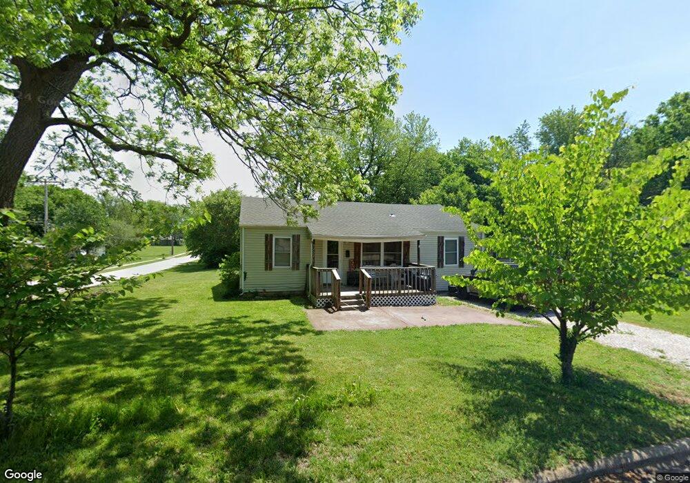
1232 N Forest Ave Springfield, MO 65802
Heart of the Westside NeighborhoodEstimated Value: $93,000 - $139,000
2
Beds
1
Bath
1,064
Sq Ft
$113/Sq Ft
Est. Value
About This Home
This home is located at 1232 N Forest Ave, Springfield, MO 65802 and is currently estimated at $119,862, approximately $112 per square foot. 1232 N Forest Ave is a home located in Greene County with nearby schools including York Elementary School, Pipkin Middle School, and Central High School.
Ownership History
Date
Name
Owned For
Owner Type
Purchase Details
Closed on
Oct 24, 2013
Sold by
Davis Willie L
Bought by
Smith Bruce L and Smith Linda Diana
Current Estimated Value
Home Financials for this Owner
Home Financials are based on the most recent Mortgage that was taken out on this home.
Original Mortgage
$30,000
Outstanding Balance
$22,428
Interest Rate
4.37%
Mortgage Type
Future Advance Clause Open End Mortgage
Estimated Equity
$97,434
Create a Home Valuation Report for This Property
The Home Valuation Report is an in-depth analysis detailing your home's value as well as a comparison with similar homes in the area
Home Values in the Area
Average Home Value in this Area
Purchase History
| Date | Buyer | Sale Price | Title Company |
|---|---|---|---|
| Smith Bruce L | -- | None Available |
Source: Public Records
Mortgage History
| Date | Status | Borrower | Loan Amount |
|---|---|---|---|
| Open | Smith Bruce L | $30,000 |
Source: Public Records
Tax History
| Year | Tax Paid | Tax Assessment Tax Assessment Total Assessment is a certain percentage of the fair market value that is determined by local assessors to be the total taxable value of land and additions on the property. | Land | Improvement |
|---|---|---|---|---|
| 2025 | $611 | $12,260 | $3,040 | $9,220 |
| 2024 | $383 | $7,130 | $1,900 | $5,230 |
| 2023 | $380 | $7,130 | $1,900 | $5,230 |
| 2022 | $372 | $6,820 | $1,900 | $4,920 |
| 2021 | $372 | $6,820 | $1,900 | $4,920 |
| 2020 | $382 | $6,690 | $1,900 | $4,790 |
| 2019 | $371 | $6,690 | $1,900 | $4,790 |
| 2018 | $398 | $7,180 | $1,900 | $5,280 |
| 2017 | $394 | $7,180 | $1,900 | $5,280 |
| 2016 | $393 | $7,180 | $1,900 | $5,280 |
| 2015 | $390 | $7,180 | $1,900 | $5,280 |
| 2014 | $390 | $7,130 | $1,900 | $5,230 |
Source: Public Records
Map
Nearby Homes
- 1229 N Warren Ave
- 2435 W Calhoun St
- 1110 N Warren Ave
- 1031 N Forest Ave
- 1027 N Warren Ave
- 1024 N Brown Ave
- 2326 W Nichols St
- 2336 W Nichols St
- 1007 N Park Ave
- 2106 W Webster St
- 1418 N Forest Ave
- 1347 N Brown Ave
- 2019 W Webster St
- 939 N Brown Ave
- 906 N Brown Ave
- 810 N West Ave
- 811 N West Ave
- 1103 N Ethyl Ave
- 1120 N Fulbright Ave
- 1336 N Lafontaine Ave
- 1226 N Forest Ave
- 1222 N Forest Ave
- 1233 N Davies Ave
- 1227 N Davies Ave
- 1216 N Forest Ave
- 1306 N Forest Ave
- 2403 W Calhoun St
- 1221 N Davies Ave
- 1233 N Forest Ave
- 1227 N Forest Ave
- 1210 N Forest Ave
- 1217 N Davies Ave
- 2335 W Calhoun St
- 1311 N Forest Ave
- 1217 N Forest Ave
- 1310 N Forest Ave
- 1211 N Davies Ave
- 1211 N Forest Ave
- 1317 N Forest Ave
- 1200 N Forest Ave
Your Personal Tour Guide
Ask me questions while you tour the home.