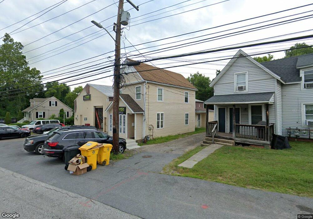
1232 Old Dorsey Rd Unit A Harmans, MD 21077
Estimated Value: $619,622
Studio
--
Bath
5,222
Sq Ft
$119/Sq Ft
Est. Value
About This Home
This home is located at 1232 Old Dorsey Rd Unit A, Harmans, MD 21077 and is currently estimated at $619,622, approximately $118 per square foot. 1232 Old Dorsey Rd Unit A is a home located in Anne Arundel County with nearby schools including Hebron-Harman Elementary School, MacArthur Middle School, and Meade High School.
Ownership History
Date
Name
Owned For
Owner Type
Purchase Details
Closed on
Jul 6, 2018
Sold by
Safety Check Llc
Bought by
Farina Properties Llc
Current Estimated Value
Home Financials for this Owner
Home Financials are based on the most recent Mortgage that was taken out on this home.
Original Mortgage
$400,000
Outstanding Balance
$346,660
Interest Rate
4.5%
Mortgage Type
Commercial
Estimated Equity
$272,962
Purchase Details
Closed on
Nov 12, 2008
Sold by
Jones Charles E
Bought by
Safety Check Llc
Home Financials for this Owner
Home Financials are based on the most recent Mortgage that was taken out on this home.
Original Mortgage
$415,000
Interest Rate
6.13%
Purchase Details
Closed on
Oct 31, 2008
Sold by
Jones Charles E
Bought by
Safety Check Llc
Home Financials for this Owner
Home Financials are based on the most recent Mortgage that was taken out on this home.
Original Mortgage
$415,000
Interest Rate
6.13%
Create a Home Valuation Report for This Property
The Home Valuation Report is an in-depth analysis detailing your home's value as well as a comparison with similar homes in the area
Home Values in the Area
Average Home Value in this Area
Purchase History
| Date | Buyer | Sale Price | Title Company |
|---|---|---|---|
| Farina Properties Llc | $485,000 | None Available | |
| Safety Check Llc | $400,000 | -- | |
| Safety Check Llc | $400,000 | -- |
Source: Public Records
Mortgage History
| Date | Status | Borrower | Loan Amount |
|---|---|---|---|
| Open | Farina Properties Llc | $400,000 | |
| Previous Owner | Safety Check Llc | $415,000 | |
| Previous Owner | Safety Check Llc | $415,000 |
Source: Public Records
Tax History
| Year | Tax Paid | Tax Assessment Tax Assessment Total Assessment is a certain percentage of the fair market value that is determined by local assessors to be the total taxable value of land and additions on the property. | Land | Improvement |
|---|---|---|---|---|
| 2025 | $5,513 | $474,400 | $148,200 | $326,200 |
| 2024 | $5,513 | $447,533 | $0 | $0 |
Source: Public Records
Map
Nearby Homes
- 1319 Craghill Ct
- 7526 Lemon Tree Ct
- 1029 Ironwood Ln
- 1025 Ironwood Ln
- 7428 Hawkins Dr
- 7425 Hawkins Dr
- 7560 E Plateau Dr
- 1125 Dorsey Rd
- 7541 Moraine Dr
- 0 Ridge Rd Unit MDAA2135828
- 7702 Hennepin Ct
- 1422 Fairbanks Dr
- 45 Chesapeake Mobile Ct
- 7764 Venice Ln
- 1704 Fieldstone Ct
- 1012 Morgan Station Dr
- 1622 Hardwick Ct Unit 202
- 7633 Amos Ave
- 7716 Dignity Way
- 7320 Wisteria Point Dr Unit 40
- 1232 Old Dorsey Rd
- 1234 Old Dorsey Rd
- 1236 Old Dorsey Rd Unit UPPER UNIT
- 1236 Old Dorsey Rd Unit . 2
- 1236 Old Dorsey Rd Unit 1ST FLOOR
- 1236 Old Dorsey Rd
- 1236 Old Dorsey Rd Unit . 1
- 1236 Dorsey Rd
- 1228 Old Dorsey Rd
- 1229 Old Dorsey Rd
- 1226 Old Dorsey Rd
- 7501 Old Coaling Rd
- 1243 Old Dorsey Rd
- 1225 Old Dorsey Rd
- 7517 Old Coaling Rd
- 7510 Old Coaling Rd
- 7485 Shipley Ave
- 7482 Shipley Ave
- 7520 Old Coaling Rd
- 1251 Old Dorsey Rd
Your Personal Tour Guide
Ask me questions while you tour the home.