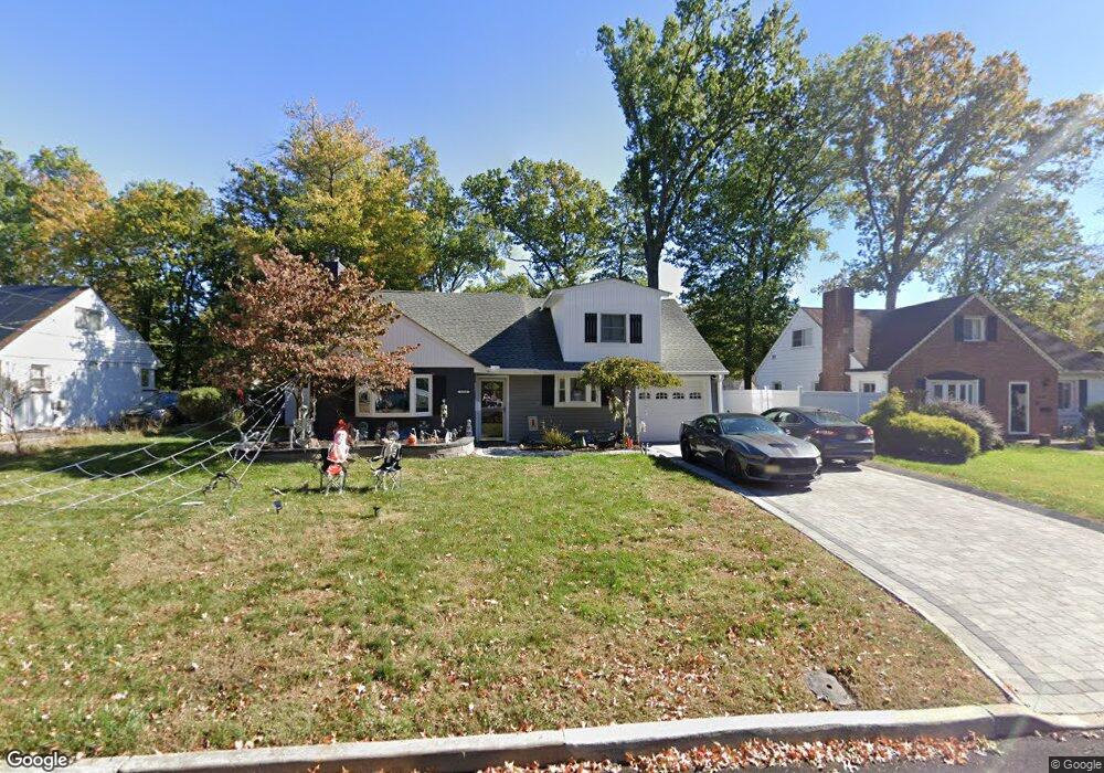
1232 Oxford Ave Unit 34 Plainfield, NJ 07062
Estimated Value: $428,550 - $536,000
Studio
--
Bath
1,084
Sq Ft
$463/Sq Ft
Est. Value
About This Home
This home is located at 1232 Oxford Ave Unit 34, Plainfield, NJ 07062 and is currently estimated at $501,638, approximately $462 per square foot. 1232 Oxford Ave Unit 34 is a home located in Union County with nearby schools including Frederic W. Cook School, Emerson Community School, and Maxson Middle School.
Ownership History
Date
Name
Owned For
Owner Type
Purchase Details
Closed on
Sep 28, 2008
Sold by
Hobson Pamela J Shaw
Bought by
Cachola Higinio
Current Estimated Value
Home Financials for this Owner
Home Financials are based on the most recent Mortgage that was taken out on this home.
Original Mortgage
$270,000
Outstanding Balance
$179,372
Interest Rate
6.41%
Mortgage Type
Unknown
Estimated Equity
$322,266
Create a Home Valuation Report for This Property
The Home Valuation Report is an in-depth analysis detailing your home's value as well as a comparison with similar homes in the area
Home Values in the Area
Average Home Value in this Area
Purchase History
| Date | Buyer | Sale Price | Title Company |
|---|---|---|---|
| Cachola Higinio | $300,000 | Stewart Title Guaranty Co |
Source: Public Records
Mortgage History
| Date | Status | Borrower | Loan Amount |
|---|---|---|---|
| Open | Cachola Higinio | $270,000 |
Source: Public Records
Tax History
| Year | Tax Paid | Tax Assessment Tax Assessment Total Assessment is a certain percentage of the fair market value that is determined by local assessors to be the total taxable value of land and additions on the property. | Land | Improvement |
|---|---|---|---|---|
| 2025 | $9,605 | $110,000 | $58,500 | $51,500 |
| 2024 | $9,511 | $110,000 | $58,500 | $51,500 |
| 2023 | $9,511 | $110,000 | $58,500 | $51,500 |
| 2022 | $9,305 | $110,000 | $58,500 | $51,500 |
| 2021 | $9,224 | $110,000 | $58,500 | $51,500 |
| 2020 | $9,197 | $110,000 | $58,500 | $51,500 |
| 2019 | $9,197 | $110,000 | $58,500 | $51,500 |
| 2018 | $9,005 | $110,000 | $58,500 | $51,500 |
| 2017 | $8,785 | $110,000 | $58,500 | $51,500 |
| 2016 | $8,605 | $110,000 | $58,500 | $51,500 |
| 2015 | $8,351 | $110,000 | $58,500 | $51,500 |
| 2014 | -- | $110,000 | $58,500 | $51,500 |
Source: Public Records
Map
Nearby Homes
- 848 Adam Cir
- 930 Cushing Place Unit 32
- 904 Sterling St
- 837 Coolidge St Unit 39
- 917 Fernwood Ave Unit 23
- 835 Dixie Ln Unit 37
- 807 Berkeley Ave Unit 9
- 1224 Sunnyfield Ln
- 1231 Sunnyfield Ln
- 1464 Jean Terrace Unit 68
- 603 Terrill Rd
- 519 Terrill Rd
- 771 Ravine Rd
- 767 Ravine Rd Unit 73
- 481 Terrill Rd
- 45 Kempshall Terrace
- 633 Woodland Ave Unit 37
- 15 La Grande Ave
- 834 Central St Unit 36
- 1365 Columbia Ave Unit 69
- 1226 Oxford Ave Unit 30
- 1236 Oxford Ave Unit 44
- 1222 Oxford Ave Unit 1224
- 1227 Oxford Ave Unit 33
- 1229 Oxford Ave
- 1235 Cambridge Ave Unit 37
- 1229 Cambridge Ave Unit 33
- 1216 Oxford Ave Unit 1220
- 1246 Oxford Ave Unit 50
- 1225 Cambridge Ave Unit 27
- 1235 Oxford Ave Unit 43
- 1223 Oxford Ave Unit 25
- 1239 Cambridge Ave Unit 43
- 1245 Cambridge Ave Unit 47
- 1221 Cambridge Ave Unit 23
- 1219 Oxford Ave Unit 21
- 1212 Oxford Ave Unit 14
- 1249 Cambridge Ave Unit 51
- 1217 Cambridge Ave Unit 19
- 1252 Oxford Ave Unit 56
Your Personal Tour Guide
Ask me questions while you tour the home.