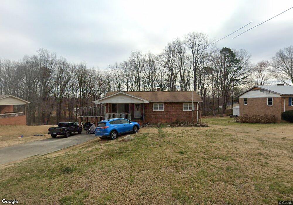
1232 Ridge Rd Roxboro, NC 27573
Estimated Value: $182,000 - $221,000
3
Beds
2
Baths
1,484
Sq Ft
$136/Sq Ft
Est. Value
About This Home
This home is located at 1232 Ridge Rd, Roxboro, NC 27573 and is currently estimated at $201,548, approximately $135 per square foot. 1232 Ridge Rd is a home located in Person County with nearby schools including Person High School, Roxboro Community School, and Roxboro Christian Academy.
Ownership History
Date
Name
Owned For
Owner Type
Purchase Details
Closed on
Mar 28, 2022
Sold by
Landis Properties I Llc
Bought by
Hinz David A and Spencer-Hinz Denise
Current Estimated Value
Purchase Details
Closed on
Dec 11, 2019
Sold by
Peedin Hope L and Jones Hope W
Bought by
Landis Properties I Llc
Home Financials for this Owner
Home Financials are based on the most recent Mortgage that was taken out on this home.
Original Mortgage
$84,000
Interest Rate
3.7%
Mortgage Type
Construction
Purchase Details
Closed on
Aug 27, 2012
Bought by
Jones Hope W
Create a Home Valuation Report for This Property
The Home Valuation Report is an in-depth analysis detailing your home's value as well as a comparison with similar homes in the area
Home Values in the Area
Average Home Value in this Area
Purchase History
| Date | Buyer | Sale Price | Title Company |
|---|---|---|---|
| Hinz David A | $127,500 | Hankin & Pack Pllc | |
| Landis Properties I Llc | $120,000 | None Available | |
| Jones Hope W | $78,900 | -- |
Source: Public Records
Mortgage History
| Date | Status | Borrower | Loan Amount |
|---|---|---|---|
| Previous Owner | Landis Properties I Llc | $84,000 |
Source: Public Records
Tax History Compared to Growth
Tax History
| Year | Tax Paid | Tax Assessment Tax Assessment Total Assessment is a certain percentage of the fair market value that is determined by local assessors to be the total taxable value of land and additions on the property. | Land | Improvement |
|---|---|---|---|---|
| 2025 | -- | $185,349 | $0 | $0 |
| 2024 | $1,883 | $123,685 | $0 | $0 |
| 2023 | $1,883 | $123,685 | $0 | $0 |
| 2022 | $1,756 | $123,685 | $0 | $0 |
| 2021 | $1,694 | $123,685 | $0 | $0 |
| 2020 | $1,467 | $105,521 | $0 | $0 |
| 2019 | $1,477 | $105,521 | $0 | $0 |
| 2018 | $1,446 | $105,521 | $0 | $0 |
| 2017 | $1,446 | $105,521 | $0 | $0 |
| 2016 | $1,446 | $105,521 | $0 | $0 |
| 2015 | $1,435 | $105,521 | $0 | $0 |
| 2014 | $1,435 | $105,521 | $0 | $0 |
Source: Public Records
Map
Nearby Homes
- 1257 Ridge Rd
- 1249 Pointer St
- 0 N Main St Unit 10114094
- 150 Summit St
- 120 Denada Path
- 11 Denada Path
- Lot 4 Forrestwood Dr
- 1420 John St
- 474 Providence Rd
- 522 Providence Rd
- 1170&1380 Providence Rd
- 112 Edgewood Dr
- 0 Broad Rd Unit 10083340
- 115 Kerr Dr
- 00 Stone Dr
- 76 Landon Place
- 100 Landon Place
- 52 Landon Place
- 250 Landon Place
- 249 Landon Place