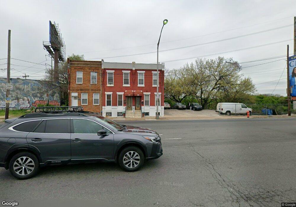
1232 S 34th St Philadelphia, PA 19146
Grays Ferry NeighborhoodEstimated Value: $159,952 - $207,000
3
Beds
1
Bath
926
Sq Ft
$202/Sq Ft
Est. Value
About This Home
This home is located at 1232 S 34th St, Philadelphia, PA 19146 and is currently estimated at $186,988, approximately $201 per square foot. 1232 S 34th St is a home located in Philadelphia County with nearby schools including Universal Alcorn Charter School, Universal Audenried Charter High School, and The City School at Spruce Hill.
Ownership History
Date
Name
Owned For
Owner Type
Purchase Details
Closed on
May 31, 2023
Sold by
Carson Felischa Y
Bought by
Carson Felischa Y and Harris Renee
Current Estimated Value
Purchase Details
Closed on
Nov 1, 2019
Sold by
Scott Alexis and Estate Of George L Scott Sr
Bought by
Scott Alexis
Purchase Details
Closed on
Nov 21, 1961
Bought by
Margaret R Scott
Create a Home Valuation Report for This Property
The Home Valuation Report is an in-depth analysis detailing your home's value as well as a comparison with similar homes in the area
Home Values in the Area
Average Home Value in this Area
Purchase History
| Date | Buyer | Sale Price | Title Company |
|---|---|---|---|
| Carson Felischa Y | -- | Accommodation/Courtesy Recordi | |
| Scott Alexis | -- | None Available | |
| Margaret R Scott | -- | -- |
Source: Public Records
Tax History Compared to Growth
Tax History
| Year | Tax Paid | Tax Assessment Tax Assessment Total Assessment is a certain percentage of the fair market value that is determined by local assessors to be the total taxable value of land and additions on the property. | Land | Improvement |
|---|---|---|---|---|
| 2026 | $311 | $143,500 | $28,700 | $114,800 |
| 2025 | $311 | $143,500 | $28,700 | $114,800 |
| 2024 | $311 | $143,500 | $28,700 | $114,800 |
| 2023 | $311 | $167,700 | $33,540 | $134,160 |
| 2022 | $311 | $22,200 | $22,200 | $0 |
| 2021 | $311 | $0 | $0 | $0 |
| 2020 | $311 | $0 | $0 | $0 |
| 2019 | $311 | $0 | $0 | $0 |
| 2018 | $311 | $0 | $0 | $0 |
| 2017 | $311 | $0 | $0 | $0 |
| 2016 | $311 | $0 | $0 | $0 |
| 2015 | $297 | $0 | $0 | $0 |
| 2014 | -- | $54,700 | $6,270 | $48,430 |
| 2012 | -- | $2,368 | $786 | $1,582 |
Source: Public Records
Map
Nearby Homes
- 1228 S Harmony St
- 1230 S Harmony St
- 1331 Grove St
- 1329 Grove St
- 3530-32 Wharton St
- 1305 S Grove St
- 3221 Latona St
- 1444 Grays Ferry Ave
- 3211 Latona St
- 3209 Latona St
- 1351 S Grove St
- 3200 Latona St
- 3206 Wharton St
- 1253 S 32nd St
- 3628 Wharton St
- 1309 S 32nd St
- 3644 Sears St
- 1251-1257 S Patton St
- 1403 S Patton St
- 1406 S Patton St
- 1234 S 34th St
- 1236 S 34th St
- 1238 S 34th St
- 3407 Wharton St
- 3313 Wharton St
- 3320 Wharton St
- 1300 S Warfield St
- 3318 Wharton St
- 3316 Wharton St
- 3309 Wharton St
- 1233 S 35th St Unit D
- 1233 S 35th St Unit PH 1
- 1233 S 35th St Unit F
- 3314 Wharton St
- 1306 S Warfield St
- 1252 S 33rd St
- 1310 S Warfield St
- 1217 S 35th St Unit 408
- 1314 S Warfield St
- 1314 S Warfield St Unit GARAGE