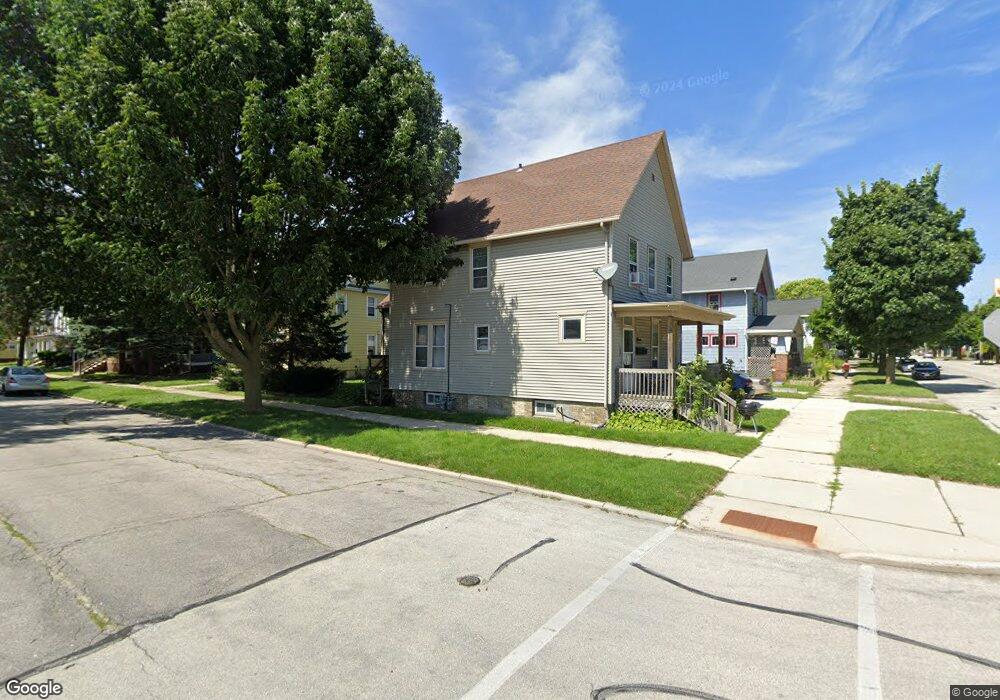
1232 S 9th St Sheboygan, WI 53081
Central Sheboygan NeighborhoodEstimated Value: $153,000 - $226,000
1
Bed
1
Bath
800
Sq Ft
$233/Sq Ft
Est. Value
About This Home
This home is located at 1232 S 9th St, Sheboygan, WI 53081 and is currently estimated at $186,427, approximately $233 per square foot. 1232 S 9th St is a home located in Sheboygan County with nearby schools including Longfellow Elementary School, Farnsworth Middle School, and South High School.
Ownership History
Date
Name
Owned For
Owner Type
Purchase Details
Closed on
Dec 29, 2022
Sold by
Fireside Homes Llc
Bought by
Cass Enterprise Llc
Current Estimated Value
Home Financials for this Owner
Home Financials are based on the most recent Mortgage that was taken out on this home.
Original Mortgage
$112,500
Outstanding Balance
$109,008
Interest Rate
6.58%
Mortgage Type
New Conventional
Estimated Equity
$77,419
Purchase Details
Closed on
Jul 12, 2018
Sold by
Jcd Wisconsin Holdings I Llc
Bought by
Fireside Homes Llc
Create a Home Valuation Report for This Property
The Home Valuation Report is an in-depth analysis detailing your home's value as well as a comparison with similar homes in the area
Home Values in the Area
Average Home Value in this Area
Purchase History
| Date | Buyer | Sale Price | Title Company |
|---|---|---|---|
| Cass Enterprise Llc | $150,000 | Generations Title | |
| Fireside Homes Llc | $55,000 | Knight Barry Title |
Source: Public Records
Mortgage History
| Date | Status | Borrower | Loan Amount |
|---|---|---|---|
| Open | Cass Enterprise Llc | $112,500 |
Source: Public Records
Tax History Compared to Growth
Tax History
| Year | Tax Paid | Tax Assessment Tax Assessment Total Assessment is a certain percentage of the fair market value that is determined by local assessors to be the total taxable value of land and additions on the property. | Land | Improvement |
|---|---|---|---|---|
| 2024 | $1,825 | $112,100 | $9,500 | $102,600 |
| 2023 | $1,414 | $91,100 | $9,000 | $82,100 |
| 2022 | $1,369 | $74,100 | $9,000 | $65,100 |
| 2021 | $968 | $39,300 | $7,800 | $31,500 |
| 2020 | $990 | $39,300 | $7,800 | $31,500 |
| 2019 | $946 | $39,300 | $7,800 | $31,500 |
| 2018 | $1,084 | $39,300 | $7,800 | $31,500 |
| 2017 | $1,797 | $39,300 | $7,800 | $31,500 |
| 2016 | $1,379 | $39,300 | $7,800 | $31,500 |
| 2015 | $943 | $39,300 | $7,800 | $31,500 |
| 2014 | $981 | $39,300 | $7,800 | $31,500 |
Source: Public Records
Map
Nearby Homes
- 912 Alabama Ave
- 922 Georgia Ave
- 1332 S 9th St
- 1323 S 8th St
- 730 Georgia Ave
- 933 Indiana Ave
- 1429 S 9th St
- 1106 S 7th St Unit 2
- 1106 S 7th St Unit 1
- 1121 Indiana Ave
- 1538 S 9th St
- 922 Broadway Ave
- 1319 Georgia Ave
- 913 Broadway Ave
- 650 S Pier Dr Unit 6
- 849 Beachfront Dr
- 712 Riverfront Dr
- 810 High Ave
- 429 Beachfront Dr Unit 757
- 421 Beachfront Dr Unit 421
- 1232 S 9th St Unit 1232A S. 9th St. Upper
- 1232 S 9th St Unit 1232 S. 9th Lower
- 1224 S 9th St
- 1220 S 9th St
- 1304 S 9th St
- 918 Alabama Ave
- 1216 S 9th St
- 1214 S 9th St
- 1214 S 9th St Unit 1216
- 907 Alabama Ave
- 924 Alabama Ave
- 911 Alabama Ave
- 926 Alabama Ave
- 915 Alabama Ave
- 1308 S 9th St
- 1314 S 9th St
- 909 Kentucky Ave
- 919 Alabama Ave
- 913 Kentucky Ave
- 907 Kentucky Ave