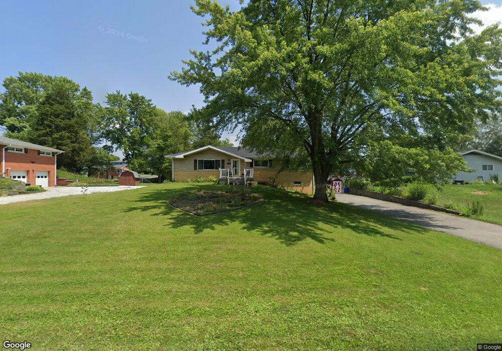
1232 S Maple Dr Greensburg, IN 47240
Estimated Value: $138,000 - $282,000
4
Beds
2
Baths
1,512
Sq Ft
$152/Sq Ft
Est. Value
About This Home
This home is located at 1232 S Maple Dr, Greensburg, IN 47240 and is currently estimated at $229,445, approximately $151 per square foot. 1232 S Maple Dr is a home located in Decatur County with nearby schools including Greensburg Elementary School, Greensburg Community Junior High School, and Greensburg Community High School.
Ownership History
Date
Name
Owned For
Owner Type
Purchase Details
Closed on
Apr 4, 2022
Sold by
Hart Donald L and Hart Margaret R
Bought by
Hart Rebecca and Holt Justin
Current Estimated Value
Home Financials for this Owner
Home Financials are based on the most recent Mortgage that was taken out on this home.
Original Mortgage
$100,000
Outstanding Balance
$93,568
Interest Rate
3.89%
Mortgage Type
New Conventional
Estimated Equity
$135,877
Create a Home Valuation Report for This Property
The Home Valuation Report is an in-depth analysis detailing your home's value as well as a comparison with similar homes in the area
Home Values in the Area
Average Home Value in this Area
Purchase History
| Date | Buyer | Sale Price | Title Company |
|---|---|---|---|
| Hart Rebecca | $95,000 | None Listed On Document |
Source: Public Records
Mortgage History
| Date | Status | Borrower | Loan Amount |
|---|---|---|---|
| Open | Hart Rebecca | $100,000 |
Source: Public Records
Tax History Compared to Growth
Tax History
| Year | Tax Paid | Tax Assessment Tax Assessment Total Assessment is a certain percentage of the fair market value that is determined by local assessors to be the total taxable value of land and additions on the property. | Land | Improvement |
|---|---|---|---|---|
| 2024 | $1,643 | $170,300 | $32,700 | $137,600 |
| 2023 | $1,498 | $156,500 | $32,700 | $123,800 |
| 2022 | $1,418 | $142,400 | $31,100 | $111,300 |
| 2021 | $2,557 | $127,700 | $31,100 | $96,600 |
| 2020 | $1,180 | $121,800 | $31,100 | $90,700 |
| 2019 | $1,102 | $114,400 | $28,300 | $86,100 |
| 2018 | $1,081 | $114,500 | $28,300 | $86,200 |
| 2017 | $1,022 | $113,300 | $28,300 | $85,000 |
| 2016 | $981 | $113,400 | $28,300 | $85,100 |
| 2014 | $964 | $106,600 | $26,600 | $80,000 |
| 2013 | $1,021 | $110,300 | $26,600 | $83,700 |
Source: Public Records
Map
Nearby Homes
- 0 Baili Dr
- 1512 Hunters Dr
- 1049 E Crown Pointe Blvd
- 920 E Erdmann Rd N
- 1615 S Mill Creek Rd
- 704 S Shane St
- 1129 E Tara Rd
- 1028 Jack's Way
- 1033 Jack's Way
- 0 N Tyrel Ave E Unit MBR21857717
- 1085 Jack's Way
- 1205 E Tara Rd
- 1221 E Tara Rd
- 1085 E Greyhawk Ln
- 620 S Stone Creek Dr
- 608 S Stone Creek Dr
- 1069 E Sleepy Hollow Dr
- 1125 E Sleepy Hollow Dr
- 1131 E Sleepy Hollow Dr
- 1139 E Sleepy Hollow Dr
- 902 Elmwood Ct
- 1228 S Maple Dr
- 1235 S Millhousen Rd
- 904 Elmwood Ct
- 904 E Elmwood Ct N
- 1231 S County Road 60 E
- 820 E Elmwood Ct N
- 820 E Elmwood Ct S
- 821 E Elmwood Ct N
- 1305 S County Road 60 E
- 1305 S Co Road 60 E
- 1220 S Maple Dr
- 1220 N Maple Dr
- 812 E Elmwood Ct S
- 1223 S County Road 60 E
- 1238 S County Road 60 E
- 924 E Beechwood Ln
- 1238 S Co Rd 60e
- 813 E Elmwood Ct N
- 4955 S Co Rd 230