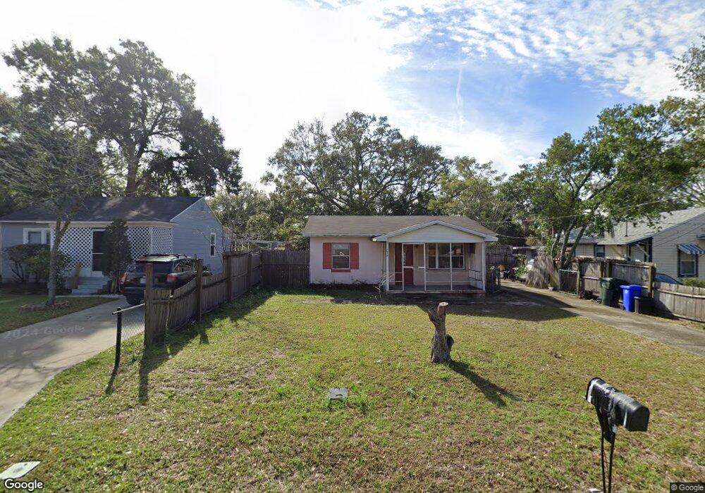
1232 W Marjorie St Lakeland, FL 33815
Westgate Central NeighborhoodEstimated Value: $130,000 - $143,236
2
Beds
1
Bath
672
Sq Ft
$202/Sq Ft
Est. Value
About This Home
This home is located at 1232 W Marjorie St, Lakeland, FL 33815 and is currently estimated at $135,809, approximately $202 per square foot. 1232 W Marjorie St is a home located in Polk County with nearby schools including Kathleen Senior High School, Rochelle School Of The Arts, and Winston Academy of Engineering.
Ownership History
Date
Name
Owned For
Owner Type
Purchase Details
Closed on
Aug 8, 2007
Sold by
Cuellar Victor M
Bought by
Cuellar Jose M
Current Estimated Value
Purchase Details
Closed on
May 29, 2007
Sold by
Cuellar Victor
Bought by
Cuellar Victor and Cuellar Jose
Purchase Details
Closed on
Feb 24, 2000
Sold by
Lewis Phillip D and Lewis Deborah S
Bought by
Cuellar Victor M
Home Financials for this Owner
Home Financials are based on the most recent Mortgage that was taken out on this home.
Original Mortgage
$46,818
Interest Rate
8.21%
Purchase Details
Closed on
Oct 1, 1998
Sold by
Calhoon Dennis D
Bought by
Lewis Phillip D and Lewis Deborah S
Home Financials for this Owner
Home Financials are based on the most recent Mortgage that was taken out on this home.
Original Mortgage
$27,550
Interest Rate
6.96%
Create a Home Valuation Report for This Property
The Home Valuation Report is an in-depth analysis detailing your home's value as well as a comparison with similar homes in the area
Home Values in the Area
Average Home Value in this Area
Purchase History
| Date | Buyer | Sale Price | Title Company |
|---|---|---|---|
| Cuellar Jose M | -- | None Available | |
| Cuellar Victor | $23,000 | None Available | |
| Cuellar Victor M | $45,900 | -- | |
| Lewis Phillip D | $29,000 | -- |
Source: Public Records
Mortgage History
| Date | Status | Borrower | Loan Amount |
|---|---|---|---|
| Previous Owner | Lewis Phillip D | $53,492 | |
| Previous Owner | Lewis Phillip D | $46,818 | |
| Previous Owner | Lewis Phillip D | $27,550 |
Source: Public Records
Tax History Compared to Growth
Tax History
| Year | Tax Paid | Tax Assessment Tax Assessment Total Assessment is a certain percentage of the fair market value that is determined by local assessors to be the total taxable value of land and additions on the property. | Land | Improvement |
|---|---|---|---|---|
| 2025 | -- | $20,776 | -- | -- |
| 2024 | -- | $20,190 | -- | -- |
| 2023 | $0 | $19,602 | $0 | $0 |
| 2022 | $0 | $19,031 | $0 | $0 |
| 2021 | $0 | $18,477 | $0 | $0 |
| 2020 | $0 | $18,222 | $0 | $0 |
| 2018 | $0 | $17,480 | $0 | $0 |
| 2017 | $0 | $17,120 | $0 | $0 |
| 2016 | $0 | $16,768 | $0 | $0 |
| 2015 | -- | $16,651 | $0 | $0 |
| 2014 | -- | $16,519 | $0 | $0 |
Source: Public Records
Map
Nearby Homes
- 1246 Dorothy St
- 1242 Dorothy St
- 341 Mels Dr N
- 342 Mels Dr N
- 109 Smithwood Dr
- 1309 Josephine St
- 338 Mels Dr N
- 221 Inman Dr
- 1145 Oakhill St
- 1215 Ruby St
- 819 Corral Dr Unit 70
- 831 Corral Dr Unit 73
- 824 Chaparral Dr Unit 113
- 1427 Spruce Dr Unit 290
- 1421 Colt Ln Unit 83
- 809 Cornelia Ave
- 1431 Spruce Dr Unit 289
- 1503 Remuda Dr Unit 318
- 524 Carroll Ave
- 1423 Saddle Trail
- 1228 W Marjorie St
- 1218 W Marjorie St
- 1229 Dorothy St
- 1248 W Marjorie St
- 1221 Dorothy St
- 1221 W Marjorie St
- 1231 W Marjorie St
- 1237 W Marjorie St
- 1236 W Marjorie St
- 1250 W Marjorie St
- 1243 Dorothy St
- 1219 W Marjorie St
- 1219 W Marjorie St Unit 2
- 1217 W Marjorie St
- 1247 Dorothy St
- 1215 Dorothy St
- 1212 W Marjorie St
- 1241 W Marjorie St
- 1210 W Marjorie St
- 1228 Oakhill St Unit 3