12324 State Route 701 Kenton, OH 43326
Estimated Value: $295,000 - $449,000
4
Beds
2
Baths
3,567
Sq Ft
$106/Sq Ft
Est. Value
About This Home
This home is located at 12324 State Route 701, Kenton, OH 43326 and is currently estimated at $376,369, approximately $105 per square foot. 12324 State Route 701 is a home located in Hardin County with nearby schools including Hardin Northern Elementary School and Hardin Northern High School.
Ownership History
Date
Name
Owned For
Owner Type
Purchase Details
Closed on
Jun 16, 2021
Sold by
Morin Ronald J and Morin Wendy R
Bought by
Humphrey Mary R and Humphrey Leslie P
Current Estimated Value
Home Financials for this Owner
Home Financials are based on the most recent Mortgage that was taken out on this home.
Original Mortgage
$288,000
Interest Rate
2.9%
Mortgage Type
New Conventional
Purchase Details
Closed on
Feb 25, 2014
Sold by
Morin Ronald J and Morin Wendy R
Bought by
Morin Ronald J and Morin Wendy R
Purchase Details
Closed on
Dec 21, 2009
Sold by
Pees Ronald P
Bought by
Morin Ronald J and Morin Wendy R
Purchase Details
Closed on
May 31, 2001
Bought by
Pees Ronald P
Create a Home Valuation Report for This Property
The Home Valuation Report is an in-depth analysis detailing your home's value as well as a comparison with similar homes in the area
Home Values in the Area
Average Home Value in this Area
Purchase History
| Date | Buyer | Sale Price | Title Company |
|---|---|---|---|
| Humphrey Mary R | $360,000 | Hardin Title | |
| Morin Ronald J | -- | None Available | |
| Morin Ronald J | $15,000 | None Available | |
| Pees Ronald P | $30,000 | -- |
Source: Public Records
Mortgage History
| Date | Status | Borrower | Loan Amount |
|---|---|---|---|
| Previous Owner | Humphrey Mary R | $288,000 |
Source: Public Records
Tax History Compared to Growth
Tax History
| Year | Tax Paid | Tax Assessment Tax Assessment Total Assessment is a certain percentage of the fair market value that is determined by local assessors to be the total taxable value of land and additions on the property. | Land | Improvement |
|---|---|---|---|---|
| 2024 | $4,307 | $115,620 | $11,830 | $103,790 |
| 2023 | $4,307 | $115,620 | $11,830 | $103,790 |
| 2022 | $2,440 | $55,400 | $7,720 | $47,680 |
| 2021 | $2,509 | $55,400 | $7,720 | $47,680 |
| 2020 | $2,519 | $55,400 | $7,720 | $47,680 |
| 2019 | $1,905 | $46,190 | $7,510 | $38,680 |
| 2018 | $1,909 | $46,190 | $7,510 | $38,680 |
| 2017 | $964 | $46,190 | $7,510 | $38,680 |
| 2016 | $1,466 | $38,600 | $6,990 | $31,610 |
| 2015 | $1,419 | $38,600 | $6,990 | $31,610 |
| 2014 | $735 | $38,600 | $6,990 | $31,610 |
| 2013 | $807 | $40,260 | $6,990 | $33,270 |
Source: Public Records
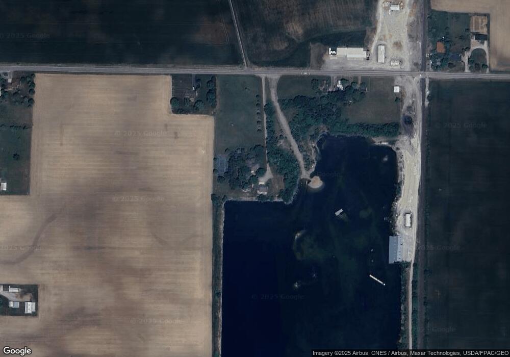
Map
Nearby Homes
- 0 Township Road 64
- 5091 County Road 175
- 2375 Wayne St
- 1568 State Route 68
- 8187 Township Road 90
- 700 N Ida St
- 0000 Musson Rd
- 406 Terry St
- 368 N Ida St
- 777 Maydoll Dr
- 602 N Wayne St
- 618 N High St
- 416 N Cherry St
- 328 N Detroit St
- 723 W Lima St Unit 1
- 0 Ohio 309
- 460 Oriental St
- 458 W Columbus St
- 233 N Main St
- 702 W Franklin St Unit 702 1/2
- 12246 State Route 701
- 12394 State Route 701
- 12410 State Route 701
- 12434 State Route 701
- 12493 State Route 701
- 12493 Sr
- 12519 State Route 701
- 12537 State Route 701
- 12052 State Route 701
- 6114 County Road 135
- 6250 County Road 135
- 12705 State Route 701
- 12754 State Route 701
- 11904 State Route 701
- 6451 County Road 135
- 5587 Township Road 139
- 12882 State Route 701
- 11595 State Route 701
- 6056 Tr 145
- 13047 State Route 701