12326 Cabot Ave Dundas, MN 55019
Estimated Value: $516,853 - $631,000
1
Bed
1
Bath
2,048
Sq Ft
$273/Sq Ft
Est. Value
About This Home
This home is located at 12326 Cabot Ave, Dundas, MN 55019 and is currently estimated at $559,618, approximately $273 per square foot. 12326 Cabot Ave is a home located in Rice County with nearby schools including Bridgewater Elementary School, Northfield Middle School, and Northfield Senior High School.
Ownership History
Date
Name
Owned For
Owner Type
Purchase Details
Closed on
Jun 30, 2015
Sold by
Shimek Christopher Christopher
Bought by
Albrecht Michael Michael
Current Estimated Value
Home Financials for this Owner
Home Financials are based on the most recent Mortgage that was taken out on this home.
Original Mortgage
$245,000
Outstanding Balance
$187,817
Interest Rate
4.02%
Estimated Equity
$371,801
Create a Home Valuation Report for This Property
The Home Valuation Report is an in-depth analysis detailing your home's value as well as a comparison with similar homes in the area
Purchase History
We collect this data history from publicly available records. To have your information removed, we recommend requesting removal directly through your county’s website.
| Date | Buyer | Sale Price | Title Company |
|---|---|---|---|
| Albrecht Michael Michael | $330,000 | -- |
Source: Public Records
Mortgage History
We collect this data history from publicly available records. To have your information removed, we recommend requesting removal directly through your county’s website.
| Date | Status | Borrower | Loan Amount |
|---|---|---|---|
| Open | Albrecht Michael Michael | $245,000 |
Source: Public Records
Tax History
| Year | Tax Paid | Tax Assessment Tax Assessment Total Assessment is a certain percentage of the fair market value that is determined by local assessors to be the total taxable value of land and additions on the property. | Land | Improvement |
|---|---|---|---|---|
| 2026 | $1,262 | $491,200 | $408,500 | $82,700 |
| 2025 | $1,262 | $472,800 | $390,800 | $82,000 |
| 2024 | $816 | $401,100 | $351,200 | $49,900 |
| 2023 | $824 | $401,100 | $351,200 | $49,900 |
| 2022 | $654 | $393,700 | $344,200 | $49,500 |
| 2021 | $722 | $329,000 | $284,600 | $44,400 |
| 2020 | $628 | $329,800 | $284,600 | $45,200 |
| 2019 | $604 | $301,900 | $258,800 | $43,100 |
| 2018 | $1,804 | $288,400 | $244,800 | $43,600 |
| 2017 | $2,646 | $285,200 | $244,800 | $40,400 |
| 2016 | $1,132 | $285,300 | $244,800 | $40,500 |
| 2015 | $1,142 | $285,700 | $244,800 | $40,900 |
| 2014 | -- | $285,800 | $244,800 | $41,000 |
Source: Public Records
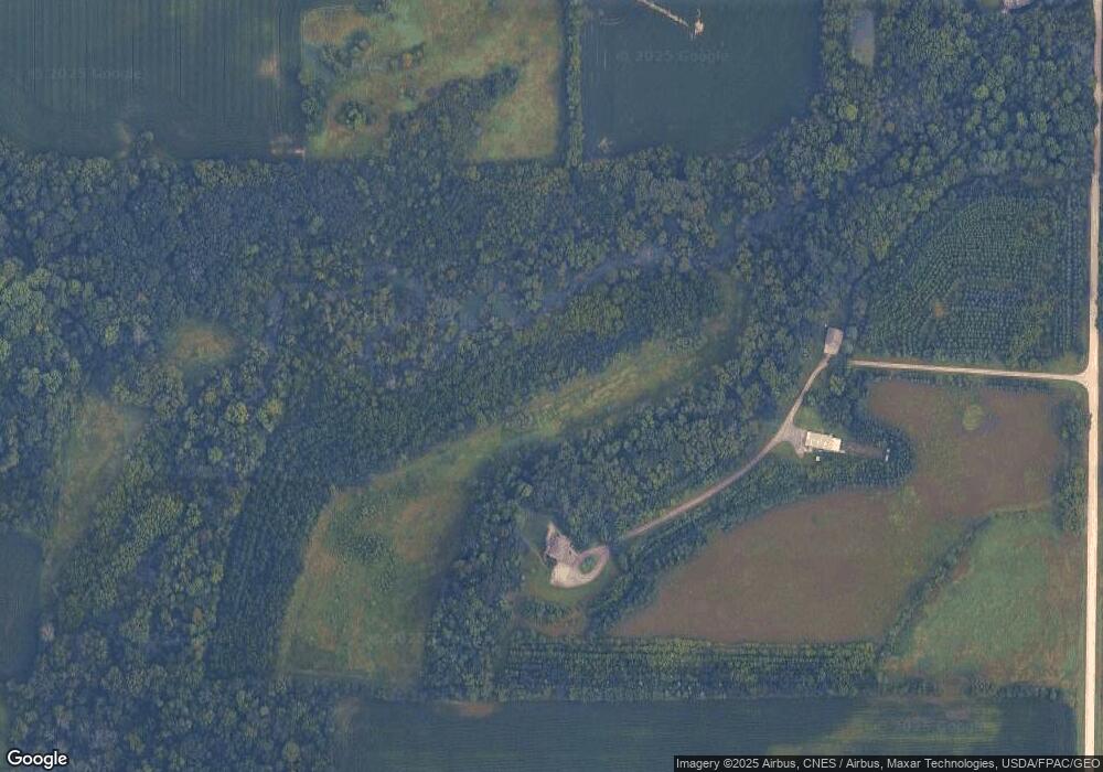
Map
Nearby Homes
- 31XX 121st
- 32XX 121st St E
- 2068 Millersburg Blvd W
- 4319 135th St E
- XXXX Base Line Rd
- XXX Base Line Rd
- 5035 124th St E
- 210 Mill St W
- TBD Minnesota 3
- xxx Weaver Rd
- 5775 115th St E
- 13446 Cannon City Blvd
- 380 Cross Cir
- 2804 Oak Lawn Dr
- Outlot Honeylocust Dr
- 557 French Ln
- 567 Vermillion Place
- 2300 Pepper Ridge Ln
- 2204 Valley Dr
- 10750 Farrel Ct
- 12326 Cabot Ave
- 12330 Cabot Ave
- 12175 Cabot Ave
- 12152 Cabot Ave
- 12640 Cabot Ave
- 2783 120th St E
- 2741 120th St E
- 12025 Cabot Ave
- 3236 121st St E
- 12165 Cabot Ave
- 11885 Cabot Ave
- XXXX Bluestone Dr
- XXXX Springwheat Dr
- XXXX Granite Way
- xxxx Bluff Ln
- XXX Bluestone Dr
- XXX Stoneridge Pkwy
- XXX Granite Way
- xxx Bluff Ln
- XXX Miller Ln
Your Personal Tour Guide
Ask me questions while you tour the home.