Estimated Value: $224,000 - $281,670
--
Bed
1
Bath
1,520
Sq Ft
$160/Sq Ft
Est. Value
About This Home
This home is located at 1233 Bethlehem Rd, Mauk, GA 31058 and is currently estimated at $243,890, approximately $160 per square foot. 1233 Bethlehem Rd is a home located in Marion County with nearby schools including L.K. Moss Elementary School and Marion County Middle/High School.
Ownership History
Date
Name
Owned For
Owner Type
Purchase Details
Closed on
May 14, 2024
Sold by
Taylor Savannah
Bought by
Matthews Thomas Paul Dixon
Current Estimated Value
Home Financials for this Owner
Home Financials are based on the most recent Mortgage that was taken out on this home.
Original Mortgage
$17,000
Outstanding Balance
$9,888
Interest Rate
7.1%
Mortgage Type
New Conventional
Estimated Equity
$234,002
Purchase Details
Closed on
Sep 24, 2010
Sold by
Welch James J
Bought by
Hrncir Jennifer
Purchase Details
Closed on
Oct 5, 2001
Sold by
Livingston Emmett Ja
Bought by
Welch James J
Purchase Details
Closed on
Sep 1, 1995
Bought by
Welch James J
Create a Home Valuation Report for This Property
The Home Valuation Report is an in-depth analysis detailing your home's value as well as a comparison with similar homes in the area
Home Values in the Area
Average Home Value in this Area
Purchase History
| Date | Buyer | Sale Price | Title Company |
|---|---|---|---|
| Matthews Thomas Paul Dixon | $25,000 | -- | |
| Hrncir Jennifer | $357,100 | -- | |
| Welch James J | $1,000 | -- | |
| Welch James J | $90,000 | -- |
Source: Public Records
Mortgage History
| Date | Status | Borrower | Loan Amount |
|---|---|---|---|
| Open | Matthews Thomas Paul Dixon | $17,000 |
Source: Public Records
Tax History Compared to Growth
Tax History
| Year | Tax Paid | Tax Assessment Tax Assessment Total Assessment is a certain percentage of the fair market value that is determined by local assessors to be the total taxable value of land and additions on the property. | Land | Improvement |
|---|---|---|---|---|
| 2024 | $1,415 | $73,025 | $34,970 | $38,055 |
| 2023 | $1,430 | $73,025 | $34,970 | $38,055 |
| 2022 | $1,401 | $38,275 | $1,163 | $37,112 |
| 2021 | $1,379 | $72,082 | $34,970 | $37,112 |
| 2020 | $1,527 | $82,764 | $45,652 | $37,112 |
| 2019 | $1,504 | $82,832 | $45,720 | $37,112 |
| 2018 | $1,487 | $82,832 | $45,720 | $37,112 |
| 2017 | $1,469 | $83,418 | $46,306 | $37,112 |
| 2016 | $1,429 | $122,882 | $85,770 | $37,112 |
| 2015 | -- | $122,882 | $85,770 | $37,112 |
| 2014 | -- | $122,882 | $85,770 | $37,112 |
| 2013 | -- | $122,882 | $85,770 | $37,112 |
Source: Public Records
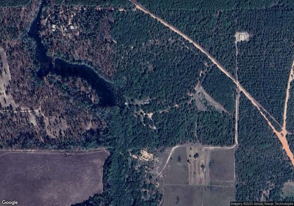
Map
Nearby Homes
- 245 Dog Track Rd
- 65 Saddle Trail
- 2450 Fort Perry Rd
- 221 Flamingo Dr
- 0 Poll Mill Rd
- 62 Brannon Montgomery Rd
- 11.36 Rd
- 375 Village Ln
- 0 Brannon Montgomery Rd Unit 24556268
- 11.36 AC Brannon Montgomery Rd
- 0 Brannon Montgomery Rd Unit 10453495
- 0 Henry Currington Rd Unit 10557969
- 5264 Georgia 41
- 1675 Joe Wells Rd
- 3599 Ga Highway 127
- 0 Palmer Cemetery Rd Unit 10588100
- SR-240 Connector
- 0 Pineknot Rd
- 12 AC Liberty Rd
- 0 Liberty Rd