1233 Brissette Beach Rd Kawkawlin, MI 48631
Estimated Value: $490,000 - $683,083
3
Beds
3
Baths
2,240
Sq Ft
$246/Sq Ft
Est. Value
About This Home
This home is located at 1233 Brissette Beach Rd, Kawkawlin, MI 48631 and is currently estimated at $550,771, approximately $245 per square foot. 1233 Brissette Beach Rd is a home located in Bay County with nearby schools including Thrasher Attendance Center, McAlear-Sawden Elementary School, and Western Middle School.
Ownership History
Date
Name
Owned For
Owner Type
Purchase Details
Closed on
Dec 23, 2011
Sold by
Schofner Keith A and Schofner Dawn K
Bought by
Oconnor Todd David and Oconnor Cynthia Anne
Current Estimated Value
Purchase Details
Closed on
Jan 7, 2005
Sold by
Kogelman Richard Carl and Kogelman Deborah
Bought by
Schofner Keith A and Schofner Dawn K
Home Financials for this Owner
Home Financials are based on the most recent Mortgage that was taken out on this home.
Original Mortgage
$318,000
Interest Rate
1.99%
Mortgage Type
Purchase Money Mortgage
Create a Home Valuation Report for This Property
The Home Valuation Report is an in-depth analysis detailing your home's value as well as a comparison with similar homes in the area
Home Values in the Area
Average Home Value in this Area
Purchase History
| Date | Buyer | Sale Price | Title Company |
|---|---|---|---|
| Oconnor Todd David | $305,000 | None Available | |
| Schofner Keith A | $397,500 | Fidelity National Title Ins |
Source: Public Records
Mortgage History
| Date | Status | Borrower | Loan Amount |
|---|---|---|---|
| Previous Owner | Schofner Keith A | $318,000 | |
| Closed | Schofner Keith A | $39,700 |
Source: Public Records
Tax History Compared to Growth
Tax History
| Year | Tax Paid | Tax Assessment Tax Assessment Total Assessment is a certain percentage of the fair market value that is determined by local assessors to be the total taxable value of land and additions on the property. | Land | Improvement |
|---|---|---|---|---|
| 2025 | $5,522 | $296,900 | $0 | $0 |
| 2024 | $3,595 | $267,300 | $0 | $0 |
| 2023 | $3,422 | $242,200 | $0 | $0 |
| 2022 | $5,124 | $207,600 | $0 | $0 |
| 2021 | $4,752 | $203,950 | $203,950 | $0 |
| 2020 | $4,649 | $204,550 | $204,550 | $0 |
| 2019 | $4,475 | $195,450 | $0 | $0 |
| 2018 | $4,356 | $158,250 | $0 | $0 |
| 2017 | $4,270 | $158,850 | $0 | $0 |
| 2016 | $4,287 | $133,150 | $0 | $133,150 |
| 2015 | -- | $143,100 | $0 | $143,100 |
| 2014 | -- | $156,950 | $0 | $156,950 |
Source: Public Records
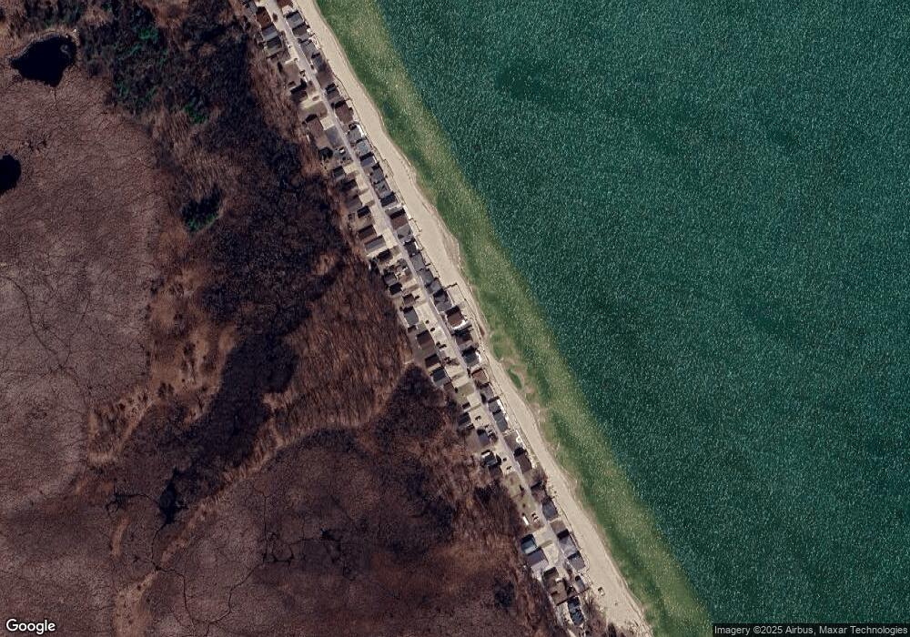
Map
Nearby Homes
- 430 Ricoma Beach Rd
- 643 S Linwood Beach Rd
- 282 Killarney Beach Rd
- 2134 Mara Dr
- 61 Harbour View Point
- 000 Jose Rd
- 2473 Old Kawkawlin Rd
- 2763 Lauria Rd
- 2430 4 Mile Rd
- 407 W Clara St
- 0 E River Rd
- 1839 E Linwood Rd
- 3687 Lauria Rd
- 9 Bay Shore Dr
- 201 Lagoon Beach Dr
- 109 W Grove St
- 103 Lincoln Dr
- 300 S Heritier Rd
- 3105 N Euclid Ave
- 0 Fraser Rd Unit 50195526
- 1233 Brissette Beach Rd
- 1239 Brissette Beach Rd
- 1239 Brissette Beach Rd
- 1225 Brissette Beach Rd
- 1225 Brissette Beach Rd
- 1245 Brissette Beach Rd
- 1245 Brissette Beach Rd
- 1221 Brissette Beach Rd
- 1221 Brissette Beach Rd
- 1217 Brissette Beach Rd
- 1213 Brissette Beach Rd
- 1213 Brissette Beach Rd
- 1249 Brissette Beach Rd
- 1249 Brissette Beach Rd
- 1255 Brissette Beach Rd
- 1209 Brissette Beach Rd
- 1209 Brissette Beach Rd
- 1259 Brissette Beach Rd
- 1259 Brissette Beach Rd
- 1203 Brissette Beach Rd