1233 County Road 219 Gainesville, TX 76240
Estimated Value: $606,000 - $1,656,000
4
Beds
3
Baths
3,553
Sq Ft
$283/Sq Ft
Est. Value
About This Home
This home is located at 1233 County Road 219, Gainesville, TX 76240 and is currently estimated at $1,005,316, approximately $282 per square foot. 1233 County Road 219 is a home located in Cooke County with nearby schools including Edison Elementary School, W.E. Chalmers Elementary School, and Gainesville Intermediate School.
Ownership History
Date
Name
Owned For
Owner Type
Purchase Details
Closed on
Dec 18, 2008
Sold by
Singleton Michael A and Singleton Jeanne M
Bought by
Read H Andrew and Read Brenda J
Current Estimated Value
Purchase Details
Closed on
Sep 28, 2007
Sold by
Holt Robert A and Wheeler Anne V
Bought by
Singleton Michael A and Singleton Jeanne M
Home Financials for this Owner
Home Financials are based on the most recent Mortgage that was taken out on this home.
Original Mortgage
$343,800
Interest Rate
6.66%
Create a Home Valuation Report for This Property
The Home Valuation Report is an in-depth analysis detailing your home's value as well as a comparison with similar homes in the area
Home Values in the Area
Average Home Value in this Area
Purchase History
| Date | Buyer | Sale Price | Title Company |
|---|---|---|---|
| Read H Andrew | -- | -- | |
| Singleton Michael A | -- | -- |
Source: Public Records
Mortgage History
| Date | Status | Borrower | Loan Amount |
|---|---|---|---|
| Previous Owner | Singleton Michael A | $343,800 |
Source: Public Records
Tax History Compared to Growth
Tax History
| Year | Tax Paid | Tax Assessment Tax Assessment Total Assessment is a certain percentage of the fair market value that is determined by local assessors to be the total taxable value of land and additions on the property. | Land | Improvement |
|---|---|---|---|---|
| 2025 | $2,732 | $489,544 | $38,855 | $450,689 |
| 2024 | $2,732 | $448,629 | $38,855 | $409,774 |
| 2023 | $5,868 | $423,386 | $0 | $0 |
| 2022 | $5,978 | $409,579 | $32,855 | $376,724 |
| 2021 | $6,605 | $352,056 | $22,542 | $329,514 |
| 2020 | $6,233 | $318,095 | $22,542 | $295,553 |
| 2019 | $6,020 | $299,427 | $19,271 | $280,156 |
| 2018 | $5,640 | $281,106 | $18,771 | $262,335 |
| 2017 | $5,398 | $268,063 | $16,771 | $251,292 |
| 2015 | $4,830 | $256,809 | $16,771 | $240,038 |
| 2014 | $4,830 | $254,524 | $16,771 | $237,753 |
Source: Public Records
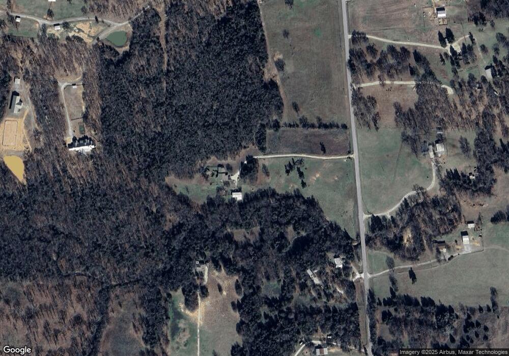
Map
Nearby Homes
- 1622 County Road 219
- 1720 County Road 219
- 102 Kiowa Dr N
- 107 Cayuga Trail
- 1246 Kiowa Dr W
- 114 Kiowa Dr N
- 200 Cayuga Trail
- 422 Navajo Trail
- 5794 Fm 678
- 409 Navajo Trail
- 128 San Chez Dr
- 315 Navajo Trail
- 101 Wasco Cove
- 1337 County Road 211
- 1330 Jrc Rd
- 205 San Chez Dr
- 110 Jrc Rd
- 1321 Kiowa Dr E
- 93 County Road 190
- 143 Mohave Dr E
- 1473 County Road 219
- 1381 County Road 219
- 1380 County Road 219
- 1088 County Road 219
- 920 County Road 219
- 1175 County Road 214
- TBD County Road 219
- 1719 County Road 219
- 1787 County Road 219
- 1787 County Road 219
- 738 County Road 219
- 738 County Road 219
- 297+AC County Road 224
- 680 County Road 219
- 1884 County Road 219
- 82 County Road 2112
- 2175 County Road 224
- 472 County Road 219
- 474 County Road 219
- 150 County Road 2112