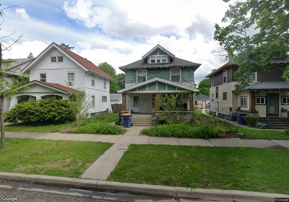
1233 Dunham St SE Grand Rapids, MI 49506
Eastown NeighborhoodEstimated Value: $262,000 - $317,000
3
Beds
1
Bath
1,330
Sq Ft
$211/Sq Ft
Est. Value
About This Home
This home is located at 1233 Dunham St SE, Grand Rapids, MI 49506 and is currently estimated at $281,083, approximately $211 per square foot. 1233 Dunham St SE is a home located in Kent County with nearby schools including Campus Elementary School, Alger Middle School, and Ottawa Hills High School.
Ownership History
Date
Name
Owned For
Owner Type
Purchase Details
Closed on
Oct 21, 2003
Sold by
Strong Roosevelt and Strong Dorothy Lee
Bought by
Wilson Erin T and Wilson Amy
Current Estimated Value
Home Financials for this Owner
Home Financials are based on the most recent Mortgage that was taken out on this home.
Original Mortgage
$93,550
Outstanding Balance
$43,146
Interest Rate
6.04%
Mortgage Type
FHA
Estimated Equity
$237,937
Purchase Details
Closed on
Nov 4, 1998
Purchase Details
Closed on
Sep 17, 1986
Purchase Details
Closed on
Aug 8, 1986
Purchase Details
Closed on
May 25, 1984
Purchase Details
Closed on
Jan 6, 1984
Create a Home Valuation Report for This Property
The Home Valuation Report is an in-depth analysis detailing your home's value as well as a comparison with similar homes in the area
Home Values in the Area
Average Home Value in this Area
Purchase History
| Date | Buyer | Sale Price | Title Company |
|---|---|---|---|
| Wilson Erin T | $94,350 | Metropolitan Title Co | |
| -- | -- | -- | |
| -- | $15,100 | -- | |
| -- | $100 | -- | |
| -- | $25,500 | -- | |
| -- | $15,500 | -- |
Source: Public Records
Mortgage History
| Date | Status | Borrower | Loan Amount |
|---|---|---|---|
| Open | Wilson Erin T | $93,550 | |
| Closed | Wilson Erin T | $4,141 |
Source: Public Records
Tax History Compared to Growth
Tax History
| Year | Tax Paid | Tax Assessment Tax Assessment Total Assessment is a certain percentage of the fair market value that is determined by local assessors to be the total taxable value of land and additions on the property. | Land | Improvement |
|---|---|---|---|---|
| 2025 | $1,794 | $125,200 | $0 | $0 |
| 2024 | $1,794 | $114,300 | $0 | $0 |
| 2023 | $1,820 | $103,300 | $0 | $0 |
| 2022 | $1,728 | $89,000 | $0 | $0 |
| 2021 | $1,690 | $82,200 | $0 | $0 |
| 2020 | $1,711 | $76,300 | $0 | $0 |
| 2019 | $1,692 | $67,800 | $0 | $0 |
| 2018 | $1,634 | $62,500 | $0 | $0 |
| 2017 | $1,591 | $54,300 | $0 | $0 |
| 2016 | $1,610 | $48,700 | $0 | $0 |
| 2015 | $1,497 | $48,700 | $0 | $0 |
| 2013 | -- | $47,800 | $0 | $0 |
Source: Public Records
Map
Nearby Homes
- 1138 Thomas St SE
- 720 Giddings Ave SE
- 1314 Sigsbee St SE
- 1100 Bates St SE
- 1122 Martin Luther King Junior St SE
- 1510 Sherman St SE
- 1053 Martin Luther King Junior St SE
- 1000 Logan St SE
- 509 Diamond Ave SE
- 507 Glenwood Ave SE
- 1212 Lake Dr SE
- 941 Wealthy St SE
- 342 Hampton Ave SE
- 1007 Watkins St SE
- 240 Calkins Ave SE
- 1134 Alexander St SE
- 318 Diamond Ave SE
- 1019 Calvin Ave SE
- 835 Bates St SE
- 1030 Benjamin Ave SE
- 1227 Dunham St SE
- 1235 Dunham St SE
- 1241 Dunham St SE
- 1225 Dunham St SE
- 1247 Dunham St SE
- 1221 Dunham St SE
- 1232 Sherman St SE
- 1236 Sherman St SE
- 1230 Sherman St SE
- 1253 Dunham St SE
- 1217 Dunham St SE
- 1242 Sherman St SE
- 1224 Sherman St SE
- 1246 Sherman St SE
- 1232 Dunham St SE
- 1220 Sherman St SE
- 1236 Dunham St SE
- 1228 Dunham St SE
- 1255 Dunham St SE
- 1215 Dunham St SE