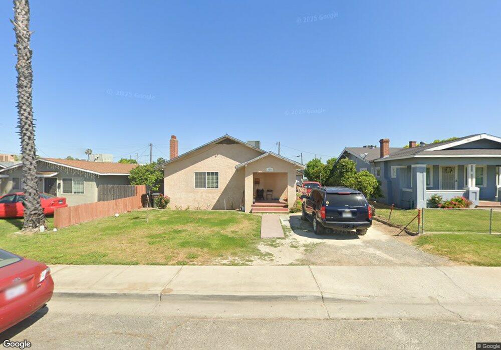
1233 E St Livingston, CA 95334
Estimated Value: $305,000 - $350,000
3
Beds
1
Bath
1,390
Sq Ft
$236/Sq Ft
Est. Value
About This Home
This home is located at 1233 E St, Livingston, CA 95334 and is currently estimated at $328,454, approximately $236 per square foot. 1233 E St is a home located in Merced County with nearby schools including Selma Herndon Elementary School, Livingston Middle School, and Livingston High School.
Ownership History
Date
Name
Owned For
Owner Type
Purchase Details
Closed on
Feb 3, 2015
Sold by
Ribeiro Manuel F and Ribeiro Maria C
Bought by
M & M Ribeiro 2015 Trust
Current Estimated Value
Purchase Details
Closed on
Mar 19, 2008
Sold by
Ribeiro Maria C
Bought by
Ribeiro Manuel F and Ribeiro Maria C
Home Financials for this Owner
Home Financials are based on the most recent Mortgage that was taken out on this home.
Original Mortgage
$77,500
Outstanding Balance
$48,229
Interest Rate
5.72%
Mortgage Type
New Conventional
Estimated Equity
$280,225
Purchase Details
Closed on
Dec 18, 2007
Sold by
Silva Antonio M and Isaltina R Silva Living Trust
Bought by
Ribeiro Maria C
Purchase Details
Closed on
Sep 6, 2001
Sold by
Silva Isaltina R
Bought by
Silva Isaltina R and Isaltina R Silva Living Trust
Create a Home Valuation Report for This Property
The Home Valuation Report is an in-depth analysis detailing your home's value as well as a comparison with similar homes in the area
Home Values in the Area
Average Home Value in this Area
Purchase History
| Date | Buyer | Sale Price | Title Company |
|---|---|---|---|
| M & M Ribeiro 2015 Trust | -- | None Available | |
| Ribeiro Manuel F | -- | Stewart Title Of California | |
| Ribeiro Maria C | -- | None Available | |
| Silva Isaltina R | -- | -- |
Source: Public Records
Mortgage History
| Date | Status | Borrower | Loan Amount |
|---|---|---|---|
| Open | Ribeiro Manuel F | $77,500 |
Source: Public Records
Tax History
| Year | Tax Paid | Tax Assessment Tax Assessment Total Assessment is a certain percentage of the fair market value that is determined by local assessors to be the total taxable value of land and additions on the property. | Land | Improvement |
|---|---|---|---|---|
| 2025 | $825 | $73,981 | $21,752 | $52,229 |
| 2024 | $825 | $72,531 | $21,326 | $51,205 |
| 2023 | $809 | $71,109 | $20,908 | $50,201 |
| 2022 | $799 | $69,716 | $20,499 | $49,217 |
| 2021 | $795 | $68,350 | $20,098 | $48,252 |
| 2020 | $786 | $67,650 | $19,892 | $47,758 |
| 2019 | $772 | $66,324 | $19,502 | $46,822 |
| 2018 | $754 | $65,024 | $19,120 | $45,904 |
| 2017 | $747 | $63,750 | $18,746 | $45,004 |
| 2016 | $734 | $62,501 | $18,379 | $44,122 |
| 2015 | $725 | $61,563 | $18,103 | $43,460 |
| 2014 | $711 | $60,358 | $17,749 | $42,609 |
Source: Public Records
Map
Nearby Homes
- 1319 F St
- 747 Prusso St
- 1241 G St
- 341 2nd St
- 975 Briarwood Dr
- 1403 Monte Cristo Way
- 0 Hammatt Ave Unit 226041306
- 1209 Peach Ave
- 1528 Duke Dr
- 14926 Peach Ave
- 1525 Duke Dr
- 866 Count Dr
- 866 Count Dr Unit 4
- 1741 Hickory Ave
- 924 Dosangh Ct
- 1435 Hammatt Ave
- 807 Olds Ave
- 1910 Southport Ave
- 0 Peach Ave Unit 636288
- 1164 Barcelona Dr
Your Personal Tour Guide
Ask me questions while you tour the home.