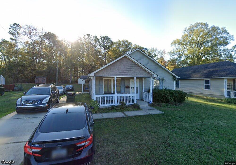
1233 Flint Hill St Rock Hill, SC 29730
Estimated Value: $196,513 - $257,000
--
Bed
--
Bath
1,380
Sq Ft
$160/Sq Ft
Est. Value
About This Home
This home is located at 1233 Flint Hill St, Rock Hill, SC 29730 and is currently estimated at $221,128, approximately $160 per square foot. 1233 Flint Hill St is a home with nearby schools including Old Pointe Elementary School, Rawlinson Road Middle School, and South Pointe High School.
Ownership History
Date
Name
Owned For
Owner Type
Purchase Details
Closed on
Nov 13, 2009
Sold by
Housing Development Corporation Of Rock
Bought by
Bennett Laressia D
Current Estimated Value
Home Financials for this Owner
Home Financials are based on the most recent Mortgage that was taken out on this home.
Original Mortgage
$19,659
Outstanding Balance
$12,797
Interest Rate
4.94%
Mortgage Type
Stand Alone Second
Estimated Equity
$208,331
Purchase Details
Closed on
Nov 17, 2008
Sold by
City Of Rock Hill Sc
Bought by
Housing Development Corporation Of Rock
Create a Home Valuation Report for This Property
The Home Valuation Report is an in-depth analysis detailing your home's value as well as a comparison with similar homes in the area
Home Values in the Area
Average Home Value in this Area
Purchase History
| Date | Buyer | Sale Price | Title Company |
|---|---|---|---|
| Bennett Laressia D | $105,000 | -- | |
| Housing Development Corporation Of Rock | -- | -- |
Source: Public Records
Mortgage History
| Date | Status | Borrower | Loan Amount |
|---|---|---|---|
| Open | Bennett Laressia D | $19,659 | |
| Open | Bennett Laressia D | $90,557 |
Source: Public Records
Tax History Compared to Growth
Tax History
| Year | Tax Paid | Tax Assessment Tax Assessment Total Assessment is a certain percentage of the fair market value that is determined by local assessors to be the total taxable value of land and additions on the property. | Land | Improvement |
|---|---|---|---|---|
| 2024 | $954 | $4,347 | $399 | $3,948 |
| 2023 | $956 | $4,347 | $399 | $3,948 |
| 2022 | $963 | $4,347 | $399 | $3,948 |
| 2021 | -- | $4,347 | $399 | $3,948 |
| 2020 | $965 | $4,347 | $0 | $0 |
| 2019 | $866 | $3,780 | $0 | $0 |
| 2018 | $864 | $3,780 | $0 | $0 |
| 2017 | $833 | $3,780 | $0 | $0 |
| 2016 | $825 | $3,780 | $0 | $0 |
| 2014 | $811 | $3,780 | $400 | $3,380 |
| 2013 | $811 | $3,900 | $280 | $3,620 |
Source: Public Records
Map
Nearby Homes
- 408 Frank St
- 1429 Edgewood Dr
- Upton II Plan at Colvin Park
- Inverness Plan at Colvin Park
- Addison II Plan at Colvin Park
- Brooks II Plan at Colvin Park
- Riley Plan at Colvin Park
- Jasper II Plan at Colvin Park
- Charlotte II Plan at Colvin Park
- Seville II Plan at Colvin Park
- Miles II Plan at Colvin Park
- Charlotte Plan at Colvin Park
- Declan Plan at Colvin Park
- Winslow Plan at Colvin Park
- Devin Plan at Colvin Park
- Jasper Plan at Colvin Park
- Pratt II Plan at Colvin Park
- 1359 Russell St
- 236 Emmett St
- 1438 America St
- 1237 Flint Hill St
- 1229 Flint Hill St
- 1241 Flint Hill St
- 419 Lige St
- 1225 Flint Hill St
- 1230 Flint Hill St
- 1242 Flint Hill St
- 421 Lige St
- 1238 Flint Hill St
- 1217 Flint Hill St
- 438 Lige St
- 1307 Flint Hill St
- 1307 Flint Hill St
- 1213 Devine St
- 420 Lige St
- 427 Lige St
- 442 Lige St
- 418 Oates St
- 382 Lige St
- 1201 Flint Hill St