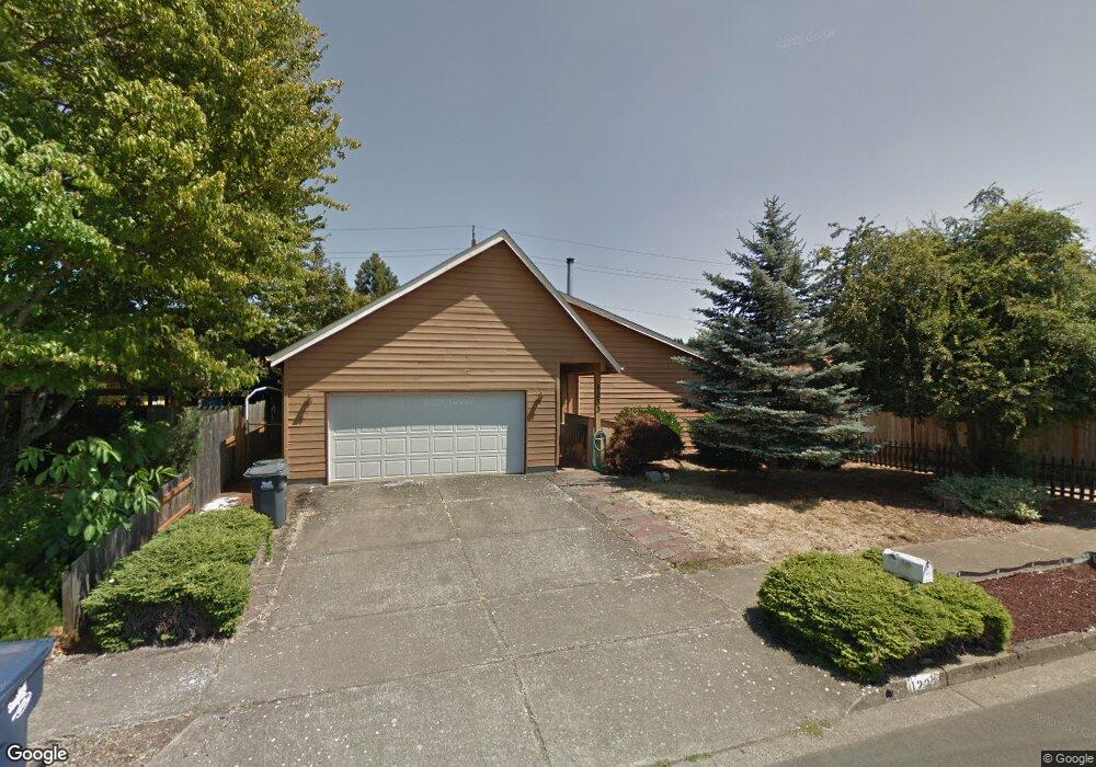
1233 Laurelhurst Dr Eugene, OR 97402
Bethel NeighborhoodEstimated Value: $389,000 - $417,000
About This Home
This home is located at 1233 Laurelhurst Dr, Eugene, OR 97402 and is currently estimated at $405,783, approximately $269 per square foot. 1233 Laurelhurst Dr is a home located in Lane County with nearby schools including Danebo Elementary School, Shasta Middle School, and Willamette High School.
Ownership History
We collect this data history from publicly available records. To have your information removed, we recommend requesting removal directly through your county’s website.
Purchase Details
Home Financials for this Owner
Home Financials are based on the most recent Mortgage that was taken out on this home.Home Values in the Area
Average Home Value in this Area
Purchase History
We collect this data history from publicly available records. To have your information removed, we recommend requesting removal directly through your county’s website.
| Date | Buyer | Sale Price | Title Company |
|---|---|---|---|
| $140,000 | Cascade Title Company |
Mortgage History
We collect this data history from publicly available records. To have your information removed, we recommend requesting removal directly through your county’s website.
| Date | Status | Borrower | Loan Amount |
|---|---|---|---|
| Open | $136,451 |
Tax History
We collect this data history from publicly available records. To have your information removed, we recommend requesting removal directly through your county’s website.
| Year | Tax Paid | Tax Assessment Tax Assessment Total Assessment is a certain percentage of the fair market value that is determined by local assessors to be the total taxable value of land and additions on the property. | Land | Improvement |
|---|---|---|---|---|
| 2025 | $3,664 | $210,664 | -- | -- |
| 2024 | $3,572 | $204,529 | -- | -- |
| 2023 | $3,572 | $198,572 | $0 | $0 |
| 2022 | $3,325 | $192,789 | $0 | $0 |
| 2021 | $3,255 | $187,174 | $0 | $0 |
| 2020 | $3,160 | $181,723 | $0 | $0 |
| 2019 | $3,005 | $176,431 | $0 | $0 |
| 2018 | $2,921 | $166,304 | $0 | $0 |
| 2017 | $2,791 | $166,304 | $0 | $0 |
| 2016 | $2,720 | $161,460 | $0 | $0 |
| 2015 | $2,667 | $156,757 | $0 | $0 |
| 2014 | $2,626 | $152,191 | $0 | $0 |
Map
- 870 Laurelhurst Dr
- 1530 Dola St
- 950 Williams St
- 4280 Avalon St
- 4567 Liberty St
- 4577 Liberty St
- 1145 Ludgate Dr
- 1107 Echo Hollow Rd
- 4514 Souza St
- 4749 Royal Ave
- 1590 Scandia St
- 857 Throne Dr
- 4800 Barger Dr Unit 60
- 4800 Barger Dr Unit 39
- 4055 Royal Ave Unit 140
- 4055 Royal Ave Unit 22
- 4055 Royal Ave Unit 13
- 4055 Royal Ave Unit 134
- 1400 Candlelight Dr Unit 209
- 1400 Candlelight Dr Unit 208
- 0 Fuller Ave Unit 20023274
- 0 Fuller Ave Unit 5300
- 4605 Fuller Ave
- 1245 Laurelhurst Dr
- 4606 Fuller Ave
- 1221 Laurelhurst Dr
- 1207 Laurelhurst Dr
- 4611 Fuller Ave
- 4604 Concord St
- 4612 Fuller Ave
- 1261 Laurelhurst Dr
- 1204 Laurelhurst Dr
- 1205 Laurelhurst Dr
- 4610 Concord St
- 4624 Fuller Ave
- 0 Laurelhurst Dr
- 4623 Fuller Ave
- 4609 Marshall Ave
- 1273 Laurelhurst Dr
- 4615 Marshall Ave
Ask me questions while you tour the home.