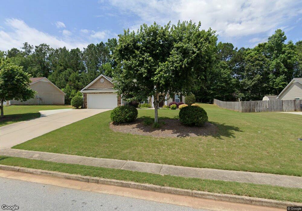
1233 Morrow Dr Social Circle, GA 30025
Estimated Value: $293,575 - $315,000
--
Bed
--
Bath
1,570
Sq Ft
$194/Sq Ft
Est. Value
About This Home
This home is located at 1233 Morrow Dr, Social Circle, GA 30025 and is currently estimated at $304,394, approximately $193 per square foot. 1233 Morrow Dr is a home located in Walton County with nearby schools including Social Circle Primary School, Social Circle Elementary School, and Social Circle Middle School.
Ownership History
Date
Name
Owned For
Owner Type
Purchase Details
Closed on
Feb 20, 2023
Sold by
Dale Bobby
Bought by
Dale Jolyn A
Current Estimated Value
Purchase Details
Closed on
Mar 3, 2008
Sold by
Ray Knight Construction Llc
Bought by
Dale Bobby and Dale Jolyn A
Home Financials for this Owner
Home Financials are based on the most recent Mortgage that was taken out on this home.
Original Mortgage
$126,875
Interest Rate
5.63%
Mortgage Type
Stand Alone Second
Create a Home Valuation Report for This Property
The Home Valuation Report is an in-depth analysis detailing your home's value as well as a comparison with similar homes in the area
Home Values in the Area
Average Home Value in this Area
Purchase History
| Date | Buyer | Sale Price | Title Company |
|---|---|---|---|
| Dale Jolyn A | -- | -- | |
| Dale Bobby | $135,100 | -- |
Source: Public Records
Mortgage History
| Date | Status | Borrower | Loan Amount |
|---|---|---|---|
| Previous Owner | Dale Bobby | $126,875 |
Source: Public Records
Tax History Compared to Growth
Tax History
| Year | Tax Paid | Tax Assessment Tax Assessment Total Assessment is a certain percentage of the fair market value that is determined by local assessors to be the total taxable value of land and additions on the property. | Land | Improvement |
|---|---|---|---|---|
| 2024 | $3,189 | $107,800 | $22,000 | $85,800 |
| 2023 | $3,111 | $102,320 | $20,000 | $82,320 |
| 2022 | $477 | $86,640 | $16,000 | $70,640 |
| 2021 | $477 | $69,600 | $12,000 | $57,600 |
| 2020 | $489 | $67,320 | $12,000 | $55,320 |
| 2019 | $499 | $53,880 | $10,000 | $43,880 |
| 2018 | $499 | $53,880 | $10,000 | $43,880 |
| 2017 | $2,176 | $52,080 | $10,000 | $42,080 |
| 2016 | $450 | $43,720 | $10,000 | $33,720 |
| 2015 | $381 | $37,840 | $6,000 | $31,840 |
| 2014 | -- | $32,080 | $6,000 | $26,080 |
Source: Public Records
Map
Nearby Homes
- 1244 Morrow Dr
- 443 Windsong Ln
- 2049 Emily Dr
- 741 Jackson Ct
- 853 Crossroads Ct
- 843 Crossroads Ct
- 960 Park Place St
- 939 Park Place St
- 931 Park Place St
- 821 Crossroads Ct
- 815 Crossroads Ct
- 695 Park Place Way
- 413 Crossroads Dr
- 670 Park Place Way
- 690 Park Place Way
- 381 Crossroads Dr
- 310 Crossroads Dr
- 433 Clover Dr
- 357 W Hightower Trail
- 226 Rogue Rd
- 1223 Morrow Dr
- 1241 Morrow Dr
- 0 Morrow Dr Unit 109 7384038
- 0 Morrow Dr
- 0 Morrow Dr Unit 7592243
- 0 Morrow Dr Unit 7587644
- 0 Morrow Dr Unit 7384036
- 0 Morrow Dr Unit 8171394
- 0 Morrow Dr Unit 9 8912168
- 0 Morrow Dr Unit 10 8912160
- 01 Morrow Dr
- 540 Walton Dr
- 520 Walton Dr Unit 2
- 1219 Morrow Dr
- 1249 Morrow Dr
- 1234 Morrow Dr Unit 146
- 1234 Morrow Dr
- 1224 Morrow Dr Unit 145
- 1224 Morrow Dr
- 550 Walton Dr