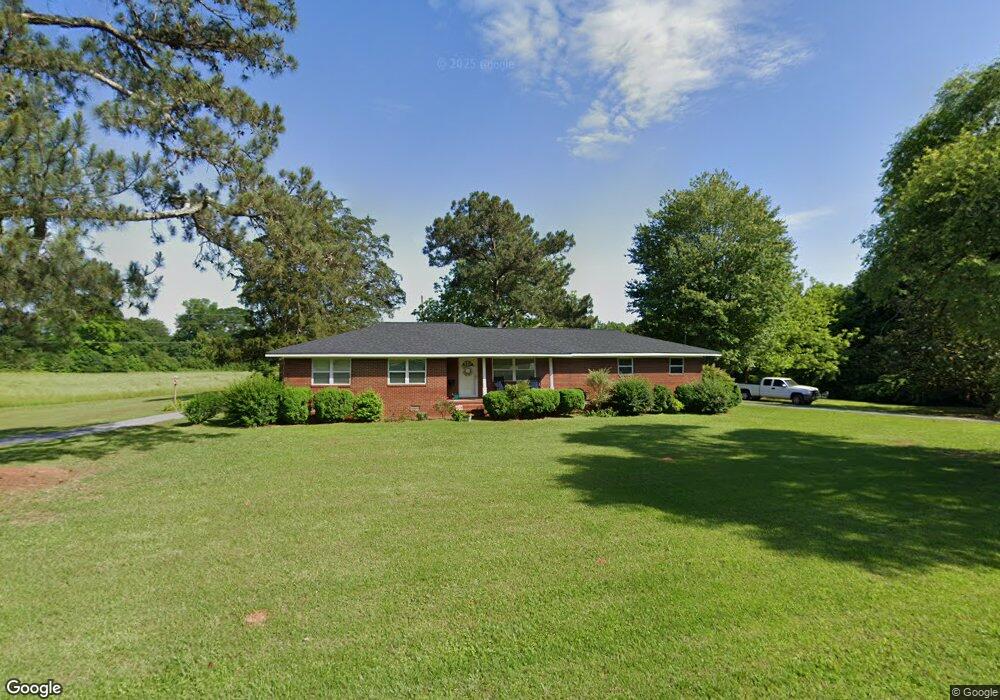
1233 N Highway 113 Carrollton, GA 30117
Abilene NeighborhoodEstimated Value: $255,000 - $283,000
3
Beds
2
Baths
1,454
Sq Ft
$182/Sq Ft
Est. Value
About This Home
This home is located at 1233 N Highway 113, Carrollton, GA 30117 and is currently estimated at $264,913, approximately $182 per square foot. 1233 N Highway 113 is a home located in Carroll County with nearby schools including Sharp Creek Elementary School, Temple Middle School, and Temple High School.
Ownership History
Date
Name
Owned For
Owner Type
Purchase Details
Closed on
Feb 8, 2005
Sold by
Rogers Mary Evelyn
Bought by
Wood Ann
Current Estimated Value
Purchase Details
Closed on
Dec 11, 1999
Sold by
Caldwell Merline
Bought by
Rogers Mary E
Purchase Details
Closed on
Nov 3, 1994
Sold by
Caldwell
Bought by
Caldwell Merline
Purchase Details
Closed on
Nov 15, 1973
Bought by
Caldwell
Create a Home Valuation Report for This Property
The Home Valuation Report is an in-depth analysis detailing your home's value as well as a comparison with similar homes in the area
Home Values in the Area
Average Home Value in this Area
Purchase History
| Date | Buyer | Sale Price | Title Company |
|---|---|---|---|
| Wood Ann | $107,000 | -- | |
| Rogers Mary E | -- | -- | |
| Caldwell Merline | -- | -- | |
| Caldwell | -- | -- |
Source: Public Records
Tax History Compared to Growth
Tax History
| Year | Tax Paid | Tax Assessment Tax Assessment Total Assessment is a certain percentage of the fair market value that is determined by local assessors to be the total taxable value of land and additions on the property. | Land | Improvement |
|---|---|---|---|---|
| 2024 | $171 | $92,278 | $8,997 | $83,281 |
| 2023 | $171 | $83,079 | $7,198 | $75,881 |
| 2022 | $204 | $62,839 | $4,799 | $58,040 |
| 2021 | $206 | $53,814 | $3,839 | $49,975 |
| 2020 | $207 | $47,928 | $3,490 | $44,438 |
| 2019 | $212 | $43,740 | $3,490 | $40,250 |
| 2018 | $223 | $37,659 | $2,842 | $34,817 |
| 2017 | $225 | $37,659 | $2,842 | $34,817 |
| 2016 | $225 | $37,659 | $2,842 | $34,817 |
| 2015 | $830 | $33,694 | $5,513 | $28,182 |
| 2014 | $834 | $33,695 | $5,513 | $28,182 |
Source: Public Records
Map
Nearby Homes
- 1196 N Highway 113
- 138 Zachary Dr
- 1015 Mote Rd
- 25 Adalee Rd
- 0 Center Point Rd Unit TR 3 10274074
- 0 Center Point Rd Unit 7361099
- 70 W Meadowcliff Cir
- 0 Shady Grove Rd Unit 10601173
- 0 Shady Grove Rd Unit 10601172
- 1890 Shady Grove Rd
- 85 Mary Ln
- 114 Kyle Way
- 70 Henson Cir
- 2930 Hog Liver Rd
- 0 Henson Cir Unit 10584639
- 0 Henson Cir Unit 7632920
- 255 Emerald Pointe Dr
- 2580 Shady Grove Rd
- 300 Georgia 113
- 219 Candlewood Dr
- 0 Spence Rd Unit 8202284
- 0 Spence Rd Unit 8465437
- 0 Spence Rd Unit 8025771
- 0 Spence Rd Unit 8745647
- 0 Spence Rd Unit 8791098
- 0 Spence Rd Unit 8581497
- 0 Spence Rd Unit 8581512
- 0 Spence Rd Unit 8581480
- 0 Spence Rd Unit 8581505
- 0 Spence Rd Unit 8581459
- 0 Spence Rd Unit 8581341
- 0 Spence Rd Unit Tract 10B 8748505
- 0 Spence Rd Unit 8748460
- 0 Spence Rd Unit 8748468
- 0 Spence Rd Unit Tract 10B 8741083
- 0 Spence Rd Unit 7045809
- 0 Spence Rd Unit 7277232
- 0 Spence Rd Unit 8692791
- 0 Spence Rd Unit 8692737
- 0 Spence Rd Unit 8230299