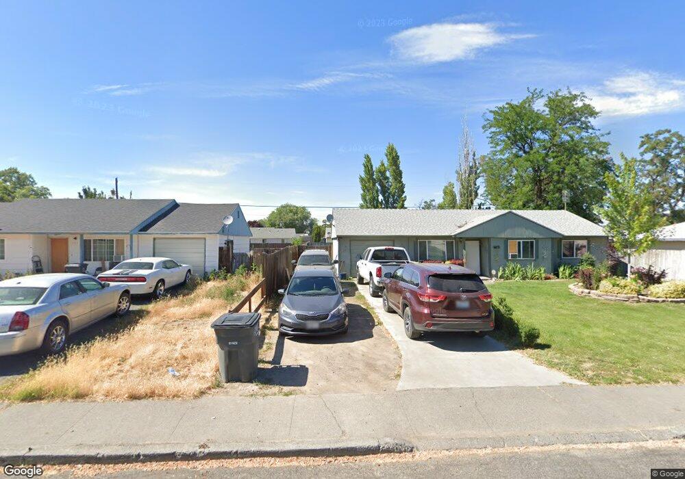
1233 Vandenburg Loop Moses Lake, WA 98837
Estimated Value: $232,506 - $268,000
3
Beds
1
Bath
1,036
Sq Ft
$242/Sq Ft
Est. Value
About This Home
This home is located at 1233 Vandenburg Loop, Moses Lake, WA 98837 and is currently estimated at $250,627, approximately $241 per square foot. 1233 Vandenburg Loop is a home with nearby schools including Larson Heights Elementary School, Endeavor Middle School, and Moses Lake High School.
Ownership History
Date
Name
Owned For
Owner Type
Purchase Details
Closed on
Apr 16, 2025
Sold by
Parks Wendy M
Bought by
Oliver Ryan M and Mcdonald Collista J
Current Estimated Value
Home Financials for this Owner
Home Financials are based on the most recent Mortgage that was taken out on this home.
Original Mortgage
$10,604
Outstanding Balance
$8,621
Interest Rate
6.63%
Mortgage Type
FHA
Estimated Equity
$242,006
Purchase Details
Closed on
Nov 6, 2018
Sold by
Curlew Crest Llc
Bought by
Sapp Michael S and Sapp Jean M
Create a Home Valuation Report for This Property
The Home Valuation Report is an in-depth analysis detailing your home's value as well as a comparison with similar homes in the area
Home Values in the Area
Average Home Value in this Area
Purchase History
| Date | Buyer | Sale Price | Title Company |
|---|---|---|---|
| Oliver Ryan M | $270,000 | Grant County Title | |
| Sapp Michael S | $99,200 | Grant County Title |
Source: Public Records
Mortgage History
| Date | Status | Borrower | Loan Amount |
|---|---|---|---|
| Open | Oliver Ryan M | $10,604 | |
| Open | Oliver Ryan M | $265,109 |
Source: Public Records
Tax History Compared to Growth
Tax History
| Year | Tax Paid | Tax Assessment Tax Assessment Total Assessment is a certain percentage of the fair market value that is determined by local assessors to be the total taxable value of land and additions on the property. | Land | Improvement |
|---|---|---|---|---|
| 2025 | $978 | $88,078 | -- | -- |
| 2024 | $1,425 | $118,240 | $25,500 | $92,740 |
| 2023 | $1,226 | $89,575 | $25,500 | $64,075 |
| 2022 | $1,164 | $89,575 | $25,500 | $64,075 |
| 2021 | $1,040 | $89,575 | $25,500 | $64,075 |
| 2020 | $1,064 | $76,940 | $25,500 | $51,440 |
| 2019 | $1,095 | $76,205 | $20,000 | $56,205 |
| 2018 | $1,231 | $73,735 | $20,000 | $53,735 |
| 2017 | $1,189 | $81,795 | $20,000 | $61,795 |
| 2016 | $1,000 | $67,305 | $20,000 | $47,305 |
| 2013 | -- | $63,005 | $20,000 | $43,005 |
Source: Public Records
Map
Nearby Homes
- 141 Carswell Dr
- 9035 Forrestal Ln
- 8910 Travis Dr Unit B
- 9023 Mcconnell Dr Unit A
- 9021 Mcconnell Dr Unit A
- 9016 Bong Loop Unit B
- 9008 Bong Loop Unit B
- 1127 Arlington Dr
- 410 Biggs Dr NE
- 8958 Tinker Loop Unit A & B
- 205 March Dr NE
- 7613 Cox St NE
- 4926 Shorecrest Dr NE
- 4898 Shorecrest Dr NE
- 541 Fairchild Loop
- 0 22nd Ave NE
- 538 Fairchild Loop
- 535 Castle Dr
- 4815 Airway Dr NE Unit 86
- 4815 Airway Dr NE Unit 72
- 1233 Vandenburg Loop NE
- 1235 Vandenburg Loop
- 1229 Vandenburg Loop NE
- 1235 1237 Vandenberg Ave
- 1234 Vandenburg Loop
- 1229 Vandenburg Loop
- 1239 Vandenburg Loop
- 1230 Vandenburg Ave
- 1236 Vandenburg Loop
- 1236 Vandenburg Ave
- 1230 Vandenburg Loop
- 1230 Vandenburg Loop
- 1230 1232 Vandenburg Ave
- 1225 1227 Vandenberg Ave
- 1232 Mitchell Ave
- 1230 Mitchell Ave
- 1228 Mitchell Ave
- 1236 1238 Vandenberg Ave
- 1226 Mitchell Ave
- 802 Lindberg Ln