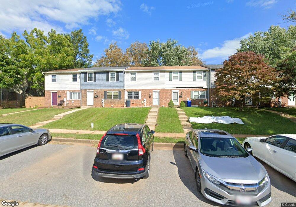
12333 Bonfire Dr Reisterstown, MD 21136
Estimated Value: $240,202 - $291,000
--
Bed
2
Baths
1,200
Sq Ft
$222/Sq Ft
Est. Value
About This Home
This home is located at 12333 Bonfire Dr, Reisterstown, MD 21136 and is currently estimated at $266,051, approximately $221 per square foot. 12333 Bonfire Dr is a home located in Baltimore County with nearby schools including Glyndon Elementary School, Franklin Middle, and Franklin High.
Ownership History
Date
Name
Owned For
Owner Type
Purchase Details
Closed on
Nov 5, 2008
Sold by
Patel Kumar D
Bought by
Patel Kumar D
Current Estimated Value
Home Financials for this Owner
Home Financials are based on the most recent Mortgage that was taken out on this home.
Original Mortgage
$315,000
Outstanding Balance
$170,301
Interest Rate
2.75%
Mortgage Type
Reverse Mortgage Home Equity Conversion Mortgage
Estimated Equity
$95,750
Purchase Details
Closed on
Oct 24, 2008
Sold by
Patel Kumar D
Bought by
Patel Kumar D
Home Financials for this Owner
Home Financials are based on the most recent Mortgage that was taken out on this home.
Original Mortgage
$315,000
Outstanding Balance
$170,301
Interest Rate
2.75%
Mortgage Type
Reverse Mortgage Home Equity Conversion Mortgage
Estimated Equity
$95,750
Purchase Details
Closed on
Apr 6, 1990
Sold by
Goodall Richard J
Bought by
Patel Kumar D
Create a Home Valuation Report for This Property
The Home Valuation Report is an in-depth analysis detailing your home's value as well as a comparison with similar homes in the area
Home Values in the Area
Average Home Value in this Area
Purchase History
| Date | Buyer | Sale Price | Title Company |
|---|---|---|---|
| Patel Kumar D | -- | -- | |
| Patel Kumar D | -- | -- | |
| Patel Kumar D | $78,000 | -- |
Source: Public Records
Mortgage History
| Date | Status | Borrower | Loan Amount |
|---|---|---|---|
| Open | Patel Kumar D | $315,000 | |
| Closed | Patel Kumar D | $315,000 |
Source: Public Records
Tax History Compared to Growth
Tax History
| Year | Tax Paid | Tax Assessment Tax Assessment Total Assessment is a certain percentage of the fair market value that is determined by local assessors to be the total taxable value of land and additions on the property. | Land | Improvement |
|---|---|---|---|---|
| 2025 | $3,253 | $189,100 | -- | -- |
| 2024 | $3,253 | $174,800 | $45,700 | $129,100 |
| 2023 | $1,583 | $171,667 | $0 | $0 |
| 2022 | $2,970 | $168,533 | $0 | $0 |
| 2021 | $3,639 | $165,400 | $45,700 | $119,700 |
| 2020 | $3,639 | $160,333 | $0 | $0 |
| 2019 | $3,066 | $155,267 | $0 | $0 |
| 2018 | $3,186 | $150,200 | $45,700 | $104,500 |
| 2017 | $3,004 | $147,100 | $0 | $0 |
| 2016 | $2,125 | $144,000 | $0 | $0 |
| 2015 | $2,125 | $140,900 | $0 | $0 |
| 2014 | $2,125 | $140,900 | $0 | $0 |
Source: Public Records
Map
Nearby Homes
- 12314 Bonfire Dr
- 648 Glynock Place
- 7 Putman Ct
- 1 Brampton Ct
- 10 Greensborough Rd
- 12 Greensborough Rd
- 12406 Old Grey Mare Ct
- 10944 Baskerville Rd
- 611 Brickston Rd
- 10 Simpson Ct
- 49 Merino Ct
- 13 Bellinger Ct
- 570 Kennington Rd
- 15 Gloucester Ct
- 4 Romney Ct
- 10 Wensley Dale Ct
- 341 Central Ave
- 215 Greenview Ave
- 225 Highmeadow Rd
- 14 Golden Grass Ct
- 12335 Bonfire Dr
- 12331 Bonfire Dr
- 12329 Bonfire Dr
- 12337 Bonfire Dr
- 12327 Bonfire Dr
- 12339 Bonfire Dr
- 12325 Bonfire Dr
- 12341 Bonfire Dr
- 12343 Bonfire Dr
- 12323 Bonfire Dr
- 12345 Bonfire Dr
- 12321 Bonfire Dr
- 12336 Bonfire Dr
- 12334 Bonfire Dr
- 12340 Bonfire Dr
- 12347 Bonfire Dr
- 12332 Bonfire Dr
- 12342 Bonfire Dr
- 12330 Bonfire Dr
- 12344 Bonfire Dr