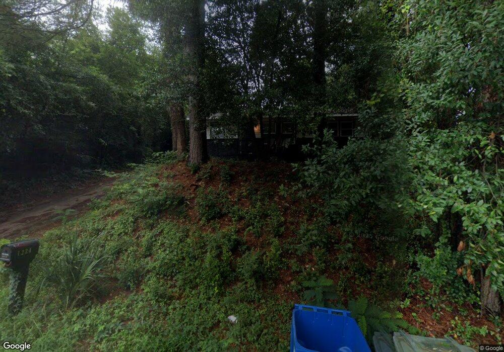
1234 Carter St Columbia, SC 29204
Estimated Value: $61,000 - $97,000
2
Beds
1
Bath
918
Sq Ft
$83/Sq Ft
Est. Value
About This Home
This home is located at 1234 Carter St, Columbia, SC 29204 and is currently estimated at $76,595, approximately $83 per square foot. 1234 Carter St is a home located in Richland County with nearby schools including Bradley Elementary School, W.G. Sanders Middle School, and W.J. Keenan High School.
Ownership History
Date
Name
Owned For
Owner Type
Purchase Details
Closed on
May 14, 2025
Sold by
Viola & Orah Estates Llc
Bought by
V And O Estates Trust and Pierce
Current Estimated Value
Purchase Details
Closed on
Sep 10, 2024
Sold by
Creel Rebecca and Cunningham Sherry
Bought by
Viola And Orah Pierce Estates Llc
Purchase Details
Closed on
Oct 18, 2008
Sold by
Cunningham Sherry C
Bought by
Cunningham Sherry and Poston Rebecca
Purchase Details
Closed on
Jul 26, 2004
Sold by
Cherry Rodney N
Bought by
Cunningham Sherry C
Create a Home Valuation Report for This Property
The Home Valuation Report is an in-depth analysis detailing your home's value as well as a comparison with similar homes in the area
Home Values in the Area
Average Home Value in this Area
Purchase History
| Date | Buyer | Sale Price | Title Company |
|---|---|---|---|
| V And O Estates Trust | -- | None Listed On Document | |
| Viola And Orah Pierce Estates Llc | $60,000 | None Listed On Document | |
| Cunningham Sherry | -- | -- | |
| Cunningham Sherry C | $52,500 | -- |
Source: Public Records
Tax History Compared to Growth
Tax History
| Year | Tax Paid | Tax Assessment Tax Assessment Total Assessment is a certain percentage of the fair market value that is determined by local assessors to be the total taxable value of land and additions on the property. | Land | Improvement |
|---|---|---|---|---|
| 2024 | $1,172 | $42,800 | $0 | $0 |
| 2023 | $1,172 | $1,488 | $0 | $0 |
| 2022 | $1,075 | $37,200 | $7,900 | $29,300 |
| 2021 | $1,083 | $2,230 | $0 | $0 |
| 2020 | $1,099 | $2,230 | $0 | $0 |
| 2019 | $1,102 | $2,230 | $0 | $0 |
| 2018 | $1,230 | $2,460 | $0 | $0 |
| 2017 | $1,196 | $2,460 | $0 | $0 |
| 2016 | $1,163 | $2,460 | $0 | $0 |
| 2015 | $1,157 | $2,460 | $0 | $0 |
| 2014 | $1,146 | $41,000 | $0 | $0 |
| 2013 | -- | $2,460 | $0 | $0 |
Source: Public Records
Map
Nearby Homes
- 1204 Carter St
- 2135 Mockingbird Rd
- 1811 Bradley Dr
- 1306 Bonner Ave
- 3801 Baldwin Rd
- 113 Brookland Cir
- 2 Godbold Ct
- 3306 Pine Belt Rd
- 3042 Beechaven Rd
- 2723 Dubard St
- 2025 Cushman Dr
- 1361 Kingston Rd
- 3212 Dennis Dr
- 230 Clive St
- 3116 Truman St
- 2930 English Ave
- 0 Oscar St
- 3123 Truman St
- 3057 Truman St
- 3541 Foxhall Rd
- 1232 Carter St
- 1300 Carter St
- 1228 Carter St
- 1220 Carter St
- 1320 Carter St
- 3242 Pheasant Ct
- 3241 Danfield Dr
- 1324 Carter St
- 1214 Carter St
- 3236 Pheasant Ct
- 0 Head St Unit 429932
- 1205 Carter St
- 1210 Carter St
- 3233 Danfield Dr
- 1327 Head St
- 1312 Head St
- 3231 Pheasant Ct
- 3230 Pheasant Ct
- 1206 Carter St
- 1322 Head St