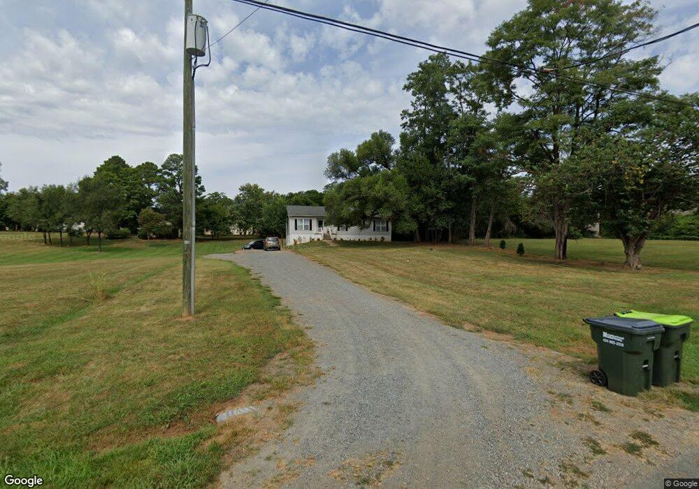
1234 Carter St Unit A Crozet, VA 22932
Estimated Value: $415,514 - $451,000
1
Bed
1
Bath
1,494
Sq Ft
$288/Sq Ft
Est. Value
About This Home
This home is located at 1234 Carter St Unit A, Crozet, VA 22932 and is currently estimated at $430,879, approximately $288 per square foot. 1234 Carter St Unit A is a home located in Albemarle County with nearby schools including Crozet Elementary School, Joseph T. Henley Middle School, and Western Albemarle High School.
Ownership History
Date
Name
Owned For
Owner Type
Purchase Details
Closed on
Jun 11, 2020
Sold by
Stevens Ross L
Bought by
The Square Llc
Current Estimated Value
Purchase Details
Closed on
Dec 17, 2018
Sold by
Henley Douglas and Henley Nicole
Bought by
Stevens Ross L
Home Financials for this Owner
Home Financials are based on the most recent Mortgage that was taken out on this home.
Original Mortgage
$175,000
Interest Rate
4.9%
Mortgage Type
New Conventional
Create a Home Valuation Report for This Property
The Home Valuation Report is an in-depth analysis detailing your home's value as well as a comparison with similar homes in the area
Home Values in the Area
Average Home Value in this Area
Purchase History
| Date | Buyer | Sale Price | Title Company |
|---|---|---|---|
| The Square Llc | -- | None Available | |
| Stevens Ross L | $300,000 | Chicago Title Insurance Comp |
Source: Public Records
Mortgage History
| Date | Status | Borrower | Loan Amount |
|---|---|---|---|
| Previous Owner | Stevens Ross L | $175,000 |
Source: Public Records
Tax History Compared to Growth
Tax History
| Year | Tax Paid | Tax Assessment Tax Assessment Total Assessment is a certain percentage of the fair market value that is determined by local assessors to be the total taxable value of land and additions on the property. | Land | Improvement |
|---|---|---|---|---|
| 2025 | $3,330 | $372,500 | $189,000 | $183,500 |
| 2024 | -- | $337,000 | $165,400 | $171,600 |
| 2023 | $2,878 | $337,000 | $168,000 | $169,000 |
| 2022 | $2,174 | $254,600 | $105,000 | $149,600 |
| 2021 | $2,182 | $255,500 | $105,000 | $150,500 |
| 2020 | $2,136 | $250,100 | $105,000 | $145,100 |
| 2019 | $2,087 | $244,400 | $105,000 | $139,400 |
| 2018 | $1,714 | $205,500 | $93,800 | $111,700 |
| 2017 | $1,705 | $203,200 | $75,000 | $128,200 |
| 2016 | $1,665 | $198,500 | $75,000 | $123,500 |
| 2015 | $794 | $194,000 | $75,000 | $119,000 |
| 2014 | -- | $192,500 | $75,000 | $117,500 |
Source: Public Records
Map
Nearby Homes
- 1261 Blue Ridge Ave
- 1179 Blue Ridge Ave
- 4416 Alston St
- 4454 Alston St
- 6031 Mccomb St
- 2981 Rambling Brook Ln
- 3005 Rambling Brook Ln
- 3053 Rambling Brook Ln
- 3059 Rambling Brook Ln
- 2969 Rambling Brook Ln
- 2879 Rambling Brook Ln
- 5659 Saint George Ave
- 4999 Dunnagan Dr
- 2987 Rambling Brook Ln
- 3023 Rambling Brook Ln
- 3011 Rambling Brook Ln
- 5990 Cling Ln
- 5986 Cling Ln
- 5988 Cling Ln
- 5982 Cling Ln
- 1234 Carter St
- 5845 Mccomb St
- 5851 Mccomb St
- 5855 Mccomb St
- 5859 Mccomb St
- 1231 Blue Ridge Ave Unit 1
- 1231 Blue Ridge Ave
- 5865 Mccomb St
- 1233 Blue Ridge Ave
- 1214 Crozet Ave
- 1243 Blue Ridge Ave
- 5869 Mccomb St
- 1227 Blue Ridge Ave
- 1210 Crozet Ave
- 5830 Railroad Ave
- 1220 Crozet Ave
- 1251 Blue Ridge Ave
- 1201 Blue Ridge Ave
- 5860 Railroad Ave
- 5824 Railroad Ave