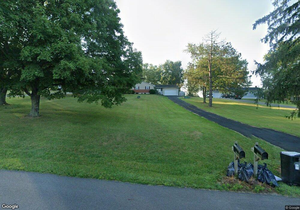
1234 Cattail Rd Chillicothe, OH 45601
Estimated Value: $241,000 - $262,000
3
Beds
1
Bath
1,424
Sq Ft
$177/Sq Ft
Est. Value
About This Home
This home is located at 1234 Cattail Rd, Chillicothe, OH 45601 and is currently estimated at $252,234, approximately $177 per square foot. 1234 Cattail Rd is a home located in Ross County with nearby schools including Unioto Elementary School, Unioto Middle School, and Unioto High School.
Ownership History
Date
Name
Owned For
Owner Type
Purchase Details
Closed on
May 25, 2012
Sold by
Newton Ron L and Newton Sandra L
Bought by
Newton Ronald L and Newton Sandra L
Current Estimated Value
Purchase Details
Closed on
May 22, 2012
Sold by
Fifth Third Mortgage Company
Bought by
Newton Ron L
Purchase Details
Closed on
Sep 12, 2011
Sold by
Rippeth Britt A and Rippeth Tamar D
Bought by
Fifth Third Mortgage Company
Purchase Details
Closed on
Aug 12, 2005
Sold by
Fyffe Dennis W and Fyffe Deborah A
Bought by
Rippeth Britt A and Rippeth Tamar D
Home Financials for this Owner
Home Financials are based on the most recent Mortgage that was taken out on this home.
Original Mortgage
$132,000
Interest Rate
5.8%
Mortgage Type
Purchase Money Mortgage
Create a Home Valuation Report for This Property
The Home Valuation Report is an in-depth analysis detailing your home's value as well as a comparison with similar homes in the area
Purchase History
| Date | Buyer | Sale Price | Title Company |
|---|---|---|---|
| Newton Ronald L | -- | None Available | |
| Newton Ron L | $50,000 | None Available | |
| Fifth Third Mortgage Company | $90,000 | None Available | |
| Rippeth Britt A | $132,000 | Chicago Title |
Source: Public Records
Mortgage History
| Date | Status | Borrower | Loan Amount |
|---|---|---|---|
| Previous Owner | Rippeth Britt A | $132,000 |
Source: Public Records
Tax History
| Year | Tax Paid | Tax Assessment Tax Assessment Total Assessment is a certain percentage of the fair market value that is determined by local assessors to be the total taxable value of land and additions on the property. | Land | Improvement |
|---|---|---|---|---|
| 2024 | $2,143 | $60,620 | $7,200 | $53,420 |
| 2023 | $2,184 | $60,620 | $7,200 | $53,420 |
| 2022 | $2,190 | $60,620 | $7,200 | $53,420 |
| 2021 | $1,771 | $45,890 | $5,580 | $40,310 |
| 2020 | $1,780 | $45,890 | $5,580 | $40,310 |
| 2019 | $1,780 | $45,890 | $5,580 | $40,310 |
| 2018 | $1,607 | $40,600 | $5,470 | $35,130 |
| 2017 | $1,610 | $40,600 | $5,470 | $35,130 |
| 2016 | $1,570 | $40,600 | $5,470 | $35,130 |
| 2015 | $1,547 | $39,580 | $5,470 | $34,110 |
| 2014 | $1,512 | $39,580 | $5,470 | $34,110 |
| 2013 | $1,519 | $39,580 | $5,470 | $34,110 |
Source: Public Records
Map
Nearby Homes
- 0 Cattail Rd
- 4257 Egypt Pike
- 10217 County Road 550
- 2933 Cattail Rd
- 637 Vernon Dr
- 190 Zickafoose Ln
- 41 Bow Cir
- 313 Goodale Dr
- 232 Rolling Meadows Dr
- 81 Gettysburg Dr
- 35 Pickett Ct
- 70 Willow Creek Rd
- 182 Eastlook Dr
- 0 Larrick Ln
- 593 Franklin Cir
- 16673 State Route 28 Unit 9
- 1667 Stone Rd Unit Lot 59
- 1667 Stone Rd Unit LOT 15
- 18818 U S 50
- 161 Lana Ln
- 1228 Cattail Rd
- 1256 Cattail Rd
- 1202 Cattail Rd
- 1282 Cattail Rd
- 356 Clearview Rd
- 1310 Cattail Rd
- 1332 Cattail Rd
- 1162 Cattail Rd
- 410 Clearview Rd
- 298 Clearview Rd
- 1144 Cattail Rd
- 1362 Cattail Rd
- 1114 Cattail Rd
- 1094 Cattail Rd
- 424 Clearview Rd
- 502 Clearview Rd
- 254 Clearview Rd
- 254 Clearview Rd
- 511 Clearview Rd
- 208 Clearview Rd
Your Personal Tour Guide
Ask me questions while you tour the home.