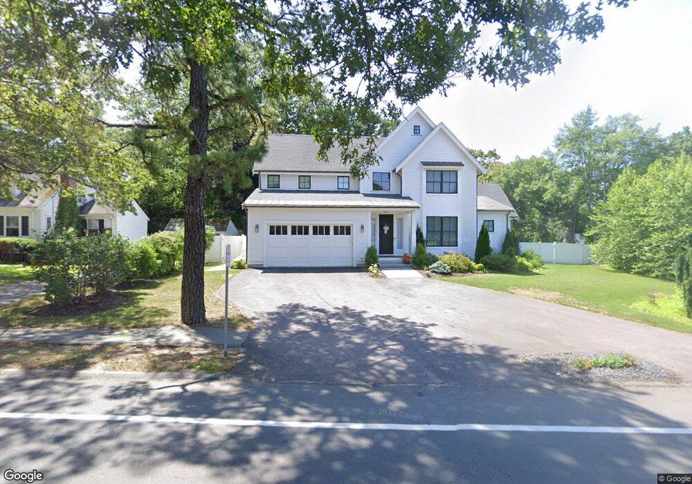
1234 Central Ave Needham, MA 02492
Estimated Value: $2,800,000 - $3,060,000
5
Beds
6
Baths
1,937
Sq Ft
$1,483/Sq Ft
Est. Value
About This Home
This home is located at 1234 Central Ave, Needham, MA 02492 and is currently estimated at $2,872,131, approximately $1,482 per square foot. 1234 Central Ave is a home located in Norfolk County with nearby schools including Newman Elementary School, High Rock Middle School, and Pollard Middle School.
Ownership History
Date
Name
Owned For
Owner Type
Purchase Details
Closed on
Oct 10, 2018
Sold by
Hilda F Marcucelli T F and Hilda Marcucelli
Bought by
Marcucelli Thomas J and Marcucelli Michael F
Current Estimated Value
Home Financials for this Owner
Home Financials are based on the most recent Mortgage that was taken out on this home.
Original Mortgage
$0
Interest Rate
4.71%
Mortgage Type
Commercial
Purchase Details
Closed on
May 3, 2010
Sold by
Marcucelli Thomas J and Marcucelli Hilda F
Bought by
Marcucelli Thomas J
Create a Home Valuation Report for This Property
The Home Valuation Report is an in-depth analysis detailing your home's value as well as a comparison with similar homes in the area
Home Values in the Area
Average Home Value in this Area
Purchase History
| Date | Buyer | Sale Price | Title Company |
|---|---|---|---|
| Marcucelli Thomas J | -- | -- | |
| Marcucelli Thomas J | -- | -- | |
| Marcucelli Thomas J | -- | -- |
Source: Public Records
Mortgage History
| Date | Status | Borrower | Loan Amount |
|---|---|---|---|
| Closed | Marcucelli Thomas J | $0 |
Source: Public Records
Tax History
| Year | Tax Paid | Tax Assessment Tax Assessment Total Assessment is a certain percentage of the fair market value that is determined by local assessors to be the total taxable value of land and additions on the property. | Land | Improvement |
|---|---|---|---|---|
| 2025 | $27,559 | $2,599,900 | $816,300 | $1,783,600 |
| 2024 | $29,813 | $2,381,200 | $518,000 | $1,863,200 |
| 2023 | $27,263 | $2,090,700 | $518,000 | $1,572,700 |
| 2022 | $17,196 | $1,286,200 | $407,000 | $879,200 |
| 2021 | $5,303 | $407,000 | $407,000 | $0 |
| 2020 | $5,083 | $407,000 | $407,000 | $0 |
| 2019 | $7,392 | $596,600 | $371,300 | $225,300 |
| 2018 | $7,088 | $596,600 | $371,300 | $225,300 |
| 2017 | $6,750 | $567,700 | $371,300 | $196,400 |
| 2016 | $6,582 | $570,400 | $371,300 | $199,100 |
| 2015 | $6,440 | $570,400 | $371,300 | $199,100 |
| 2014 | $6,329 | $543,700 | $379,400 | $164,300 |
Source: Public Records
Map
Nearby Homes
- 620 High Rock St
- 21 Cedar Springs Ln
- 95 Deerfield Rd
- 189 Bridle Trail Rd
- 52 Hancock Rd
- 50 Meetinghouse Cir
- 3 Hancock Rd
- 21 Brewster Dr
- 19 Mason Rd
- 73 Maple St Unit 1
- 37 Standish Rd
- 287 High Rock St
- 15 Mackintosh Ave
- 193 Garden St
- 102 Jarvis Cir Unit 102
- 37 Carleton Dr
- 34 Lincoln St Unit 34
- 81 Parish Rd
- 19 Oakland Ave Unit 19
- 34 Pershing Rd
- 612 High Rock St
- 1246 Central Ave
- 604 High Rock St
- 621 High Rock St
- 609 High Rock St
- 600 High Rock St
- 10 Cedar Springs Ln
- 1252 Central Ave
- 78 Bonwood Rd
- 1225 Central Ave
- 1210 Central Ave
- 35 Tolman St
- 597 High Rock St
- 590 High Rock St
- 23 Tolman St
- 70 Bonwood Rd
- 19 Bellevue Dr
- 77 Bonwood Rd
- 5 Brackett St
- 1200 Central Ave
Your Personal Tour Guide
Ask me questions while you tour the home.