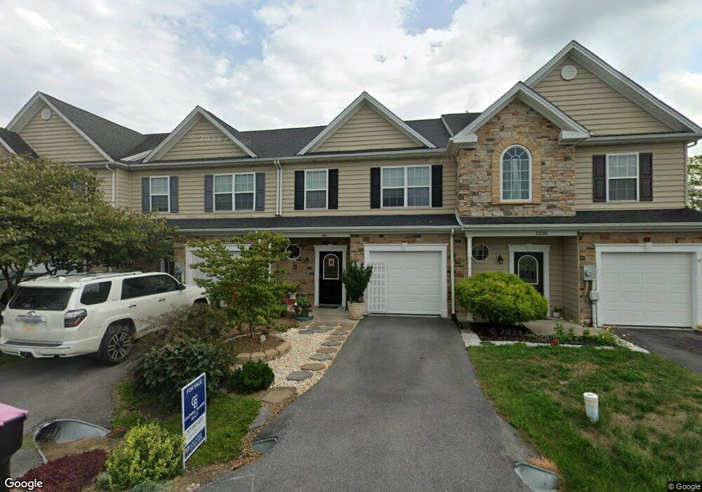
1234 Emily's Ct Greencastle, PA 17225
Estimated Value: $267,000 - $272,000
3
Beds
3
Baths
1,800
Sq Ft
$150/Sq Ft
Est. Value
About This Home
This home is located at 1234 Emily's Ct, Greencastle, PA 17225 and is currently estimated at $269,192, approximately $149 per square foot. 1234 Emily's Ct is a home located in Franklin County with nearby schools including Greencastle-Antrim Primary School, Greencastle-Antrim Elementary School, and Greencastle-Antrim Middle School.
Ownership History
Date
Name
Owned For
Owner Type
Purchase Details
Closed on
May 19, 2025
Sold by
Miller Martha C
Bought by
Akrofi-Ayeh Amanda
Current Estimated Value
Home Financials for this Owner
Home Financials are based on the most recent Mortgage that was taken out on this home.
Original Mortgage
$266,000
Outstanding Balance
$265,090
Interest Rate
6.83%
Mortgage Type
VA
Estimated Equity
$4,102
Purchase Details
Closed on
Jan 28, 2014
Sold by
Miller Martha L
Bought by
Miller Charles S
Create a Home Valuation Report for This Property
The Home Valuation Report is an in-depth analysis detailing your home's value as well as a comparison with similar homes in the area
Home Values in the Area
Average Home Value in this Area
Purchase History
| Date | Buyer | Sale Price | Title Company |
|---|---|---|---|
| Akrofi-Ayeh Amanda | $266,000 | None Listed On Document | |
| Miller Charles S | -- | None Available |
Source: Public Records
Mortgage History
| Date | Status | Borrower | Loan Amount |
|---|---|---|---|
| Open | Akrofi-Ayeh Amanda | $266,000 |
Source: Public Records
Tax History Compared to Growth
Tax History
| Year | Tax Paid | Tax Assessment Tax Assessment Total Assessment is a certain percentage of the fair market value that is determined by local assessors to be the total taxable value of land and additions on the property. | Land | Improvement |
|---|---|---|---|---|
| 2025 | $3,341 | $19,970 | $880 | $19,090 |
| 2024 | $3,031 | $19,970 | $880 | $19,090 |
| 2023 | $2,995 | $19,970 | $880 | $19,090 |
| 2022 | $2,995 | $19,970 | $880 | $19,090 |
| 2021 | $2,937 | $19,970 | $880 | $19,090 |
| 2020 | $2,861 | $19,970 | $880 | $19,090 |
| 2019 | $2,796 | $19,970 | $880 | $19,090 |
| 2018 | $2,766 | $19,970 | $880 | $19,090 |
| 2017 | $2,696 | $19,970 | $880 | $19,090 |
| 2016 | $572 | $19,970 | $880 | $19,090 |
| 2015 | $533 | $19,970 | $880 | $19,090 |
| 2014 | $533 | $19,970 | $880 | $19,090 |
Source: Public Records
Map
Nearby Homes
- 1256 Emilys Ct
- 9337 Lindale Ave
- 3632 Oakley Ln
- 3125 Buchanan Trail W
- 9705 Rabbit Rd S
- 3474 Harold Place
- 5089 Buchanan Trail W
- 2384 Castlegreen Dr
- 7980 Golf Vista Dr
- 8140 Golf Vista Dr
- LOT 666B Maya Dr
- 107 Makayla Dr
- 281 Toms Ln
- 2579 Castlegreen Dr
- 1827 Shannon Dr S
- 112526 Delanie Dr
- Cumberland Plan at Heritage Overlook
- Ballenger Plan at Heritage Overlook
- Powell Plan at Heritage Overlook
- Corsica Plan at Heritage Overlook
- 1234 Emilys Ct
- 1236 Emilys Ct
- 1230 Emilys Ct
- 1200 Emily's Ct
- 1250 Emilys Ct
- 1252 Emilys Ct
- 1218 Emilys Ct
- 0 Emilys Ct
- 1243 Emilys Ct
- 1243 Emilys Ct Unit 102
- 1210 Emilys Ct
- 1224 Cydney Ln
- 1266 Emilys Ct
- 1277 Emilys Ct
- 1190 Cydney Ln
- 1288 Emilys Ct
- 1192 Emilys Ct
- 1178 Cydney Ln
- 1299 Emilys Ct
- 1215 Cydney Ln