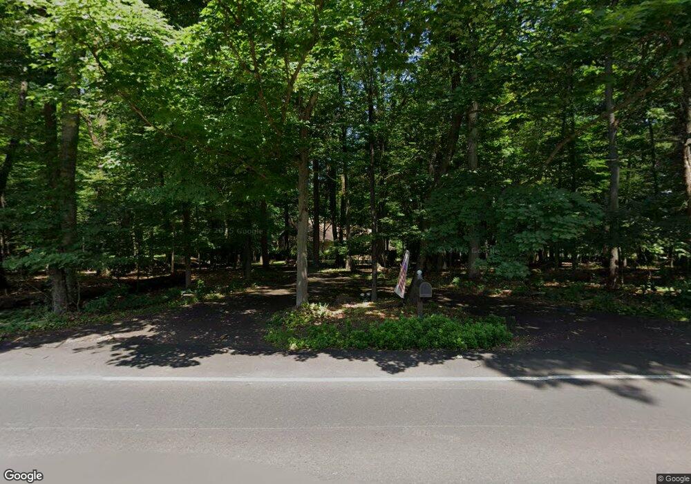
1234 Ferry Rd Doylestown, PA 18901
Estimated Value: $1,254,000 - $1,814,000
4
Beds
4
Baths
4,220
Sq Ft
$345/Sq Ft
Est. Value
About This Home
This home is located at 1234 Ferry Rd, Doylestown, PA 18901 and is currently estimated at $1,455,583, approximately $344 per square foot. 1234 Ferry Rd is a home located in Bucks County with nearby schools including Groveland Elementary School, Tohickon Middle School, and Central Bucks High School-West.
Ownership History
Date
Name
Owned For
Owner Type
Purchase Details
Closed on
Dec 30, 2019
Sold by
Dale Michael B and Dale Lauri A
Bought by
Dale Lauri A and Dale Michael B
Current Estimated Value
Home Financials for this Owner
Home Financials are based on the most recent Mortgage that was taken out on this home.
Original Mortgage
$320,000
Outstanding Balance
$282,733
Interest Rate
3.6%
Mortgage Type
New Conventional
Estimated Equity
$1,172,850
Purchase Details
Closed on
Mar 17, 2016
Sold by
Dale Michael B and Dale Lauri A
Bought by
Dale Michael B and Dale Lauri A
Purchase Details
Closed on
Aug 17, 2001
Sold by
Aichs Roger A and Aichs Virginia L
Bought by
Dale Michael B and Dale Lauri A
Home Financials for this Owner
Home Financials are based on the most recent Mortgage that was taken out on this home.
Original Mortgage
$412,000
Interest Rate
7.21%
Purchase Details
Closed on
Oct 28, 1994
Sold by
Rathgeber Joanne W
Bought by
Aichs Roger A and Aichs Virginia L
Home Financials for this Owner
Home Financials are based on the most recent Mortgage that was taken out on this home.
Original Mortgage
$200,000
Interest Rate
8.71%
Create a Home Valuation Report for This Property
The Home Valuation Report is an in-depth analysis detailing your home's value as well as a comparison with similar homes in the area
Home Values in the Area
Average Home Value in this Area
Purchase History
| Date | Buyer | Sale Price | Title Company |
|---|---|---|---|
| Dale Lauri A | -- | National Abstract Agency | |
| Dale Michael B | -- | None Available | |
| Dale Michael B | $522,000 | -- | |
| Aichs Roger A | $525,000 | -- |
Source: Public Records
Mortgage History
| Date | Status | Borrower | Loan Amount |
|---|---|---|---|
| Open | Dale Lauri A | $320,000 | |
| Closed | Dale Michael B | $412,000 | |
| Previous Owner | Aichs Roger A | $200,000 |
Source: Public Records
Tax History Compared to Growth
Tax History
| Year | Tax Paid | Tax Assessment Tax Assessment Total Assessment is a certain percentage of the fair market value that is determined by local assessors to be the total taxable value of land and additions on the property. | Land | Improvement |
|---|---|---|---|---|
| 2025 | $16,152 | $93,200 | $18,400 | $74,800 |
| 2024 | $16,152 | $93,200 | $18,400 | $74,800 |
| 2023 | $15,638 | $93,200 | $18,400 | $74,800 |
| 2022 | $15,329 | $93,200 | $18,400 | $74,800 |
| 2021 | $15,155 | $93,200 | $18,400 | $74,800 |
| 2020 | $15,155 | $93,200 | $18,400 | $74,800 |
| 2019 | $14,969 | $93,200 | $18,400 | $74,800 |
| 2018 | $14,969 | $93,200 | $18,400 | $74,800 |
| 2017 | $14,853 | $93,200 | $18,400 | $74,800 |
| 2016 | $14,853 | $93,200 | $18,400 | $74,800 |
| 2015 | -- | $93,200 | $18,400 | $74,800 |
| 2014 | -- | $93,200 | $18,400 | $74,800 |
Source: Public Records
Map
Nearby Homes
- 301 Windy Run Rd
- 3711 Jacob Stout Rd Unit 5
- 3723 William Daves Rd
- 3765 William Daves Rd
- 3838 Jacob Stout Rd
- 4748 Bishop Cir
- 100 Bishops Gate Ln Unit 67
- 194 Victoria Ct Unit 143
- 114 Blackfriars Cir
- 5437 Rinker Cir Unit 283
- 157 Pine Run Rd
- 3923 Ferry Rd
- Lot 6 Henry Ct
- 62 Constitution Ave
- 1 Gatehouse Ln
- 4 Old Colonial Dr Unit 254
- 4263 Kleinot Dr
- 4317 Kleinot Dr
- 4464 Kleinot Dr
- 4330 Kleinot Dr
- 1143 Ferry Rd
- 1335 Ferry Rd
- 1330 Ferry Rd
- 41 N Chapman Rd
- 175 N Chapman Rd
- 1355 Ferry Rd
- 1140 Ferry Rd
- 1375 Ferry Rd
- 1334 Ferry Rd
- 1255 Ferry Rd
- 37 N Chapman Rd
- 31 N Chapman Rd
- 1251 Ferry Rd
- 114 N Chapman Rd
- 125 N Chapman Rd
- 41 Pine Mill Cir
- 106 N Chapman Rd
- 1147 Ferry Rd
- 4 N Chapman Rd
- 47 Pine Mill Cir